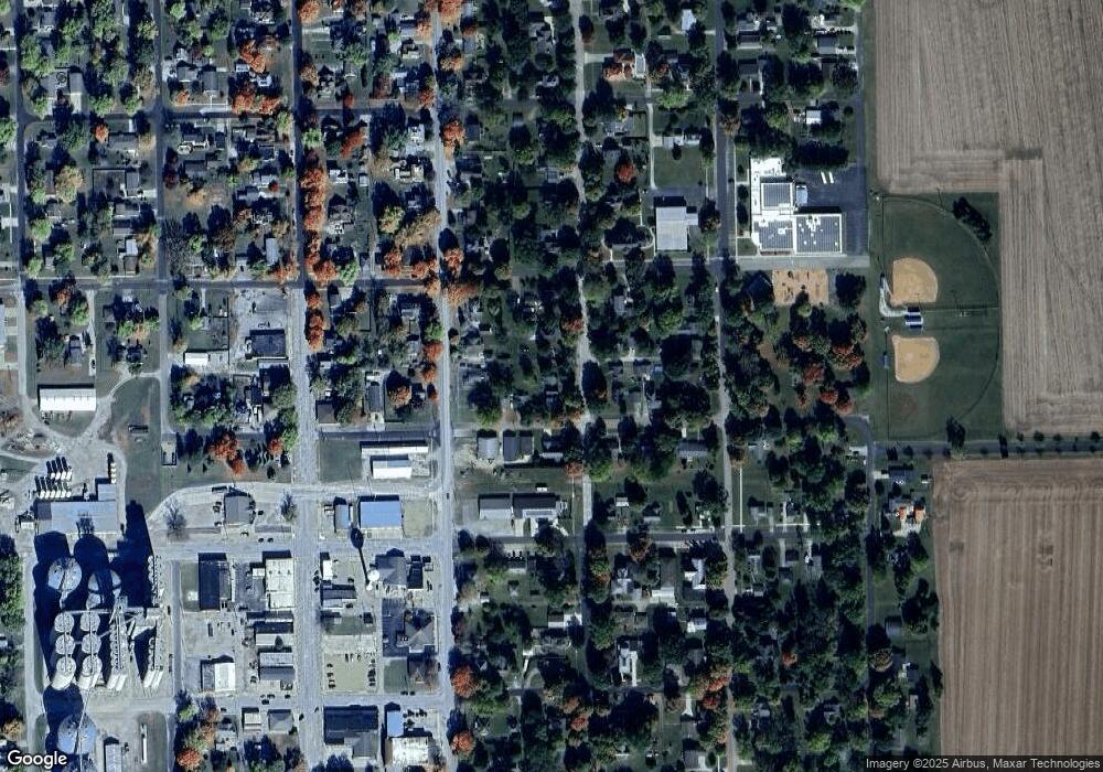
203 N Maple Ave Minier, IL 61759
Estimated Value: $83,000 - $143,000
3
Beds
1
Bath
1,472
Sq Ft
$81/Sq Ft
Est. Value
About This Home
This home is located at 203 N Maple Ave, Minier, IL 61759 and is currently estimated at $119,780, approximately $81 per square foot. 203 N Maple Ave is a home located in Tazewell County with nearby schools including Olympia High School.
Ownership History
Date
Name
Owned For
Owner Type
Purchase Details
Closed on
Apr 12, 2021
Sold by
Bohnert Tessica
Bought by
Durham Craig A
Current Estimated Value
Purchase Details
Closed on
Aug 24, 2015
Sold by
Paine Joan E
Bought by
Bohnert Tessica
Purchase Details
Closed on
Mar 28, 2007
Sold by
Skapetis Joan E
Bought by
Paine Joan E and Bohnert Jessica A
Purchase Details
Closed on
Sep 22, 2006
Sold by
Tremont Savings Bank
Bought by
Skapetis Joan E
Purchase Details
Closed on
Jul 10, 2006
Sold by
Brown Jason A
Bought by
Tremont Savings Bank
Purchase Details
Closed on
Oct 12, 2004
Sold by
Brown Amy J
Bought by
Brown Jason A
Create a Home Valuation Report for This Property
The Home Valuation Report is an in-depth analysis detailing your home's value as well as a comparison with similar homes in the area
Purchase History
| Date | Buyer | Sale Price | Title Company |
|---|---|---|---|
| Durham Craig A | $20,000 | None Available | |
| Bohnert Tessica | -- | -- | |
| Paine Joan E | -- | None Available | |
| Skapetis Joan E | $32,000 | None Available | |
| Tremont Savings Bank | -- | None Available | |
| Brown Jason A | -- | -- |
Source: Public Records
Tax History
| Year | Tax Paid | Tax Assessment Tax Assessment Total Assessment is a certain percentage of the fair market value that is determined by local assessors to be the total taxable value of land and additions on the property. | Land | Improvement |
|---|---|---|---|---|
| 2024 | $1,260 | $21,860 | $6,510 | $15,350 |
| 2023 | $1,260 | $19,850 | $5,910 | $13,940 |
| 2022 | $1,110 | $18,040 | $5,370 | $12,670 |
| 2021 | $1,052 | $17,340 | $5,160 | $12,180 |
| 2020 | $1,036 | $17,340 | $5,160 | $12,180 |
| 2019 | $1,032 | $17,340 | $5,160 | $12,180 |
| 2018 | $1,028 | $17,340 | $5,160 | $12,180 |
| 2017 | $1,019 | $17,340 | $5,160 | $12,180 |
| 2016 | $1,006 | $17,340 | $5,160 | $12,180 |
| 2015 | $1,158 | $0 | $0 | $0 |
| 2013 | $1,146 | $20,480 | $5,160 | $15,320 |
Source: Public Records
Map
Nearby Homes
- 214 N Maple Ave
- 510 N Minier Ave
- 212 E Garfield St
- 505 W North St
- 407 W Boundary St
- 106 W Boundary St
- 221 NE 3rd St
- 307 N Vine St
- 901 Brighton Ave
- 204 E 4th St
- 306 E Madison St
- 203 S Tazewell St
- 111 W Fast Ave
- 204 Tulip Dr
- 11283 Illinois 9
- 110 Brandy Dr
- 15945 Gresham Rd
- 10105 Hickory Rd
- 1404 Downing Ct
- 10109 Arrow Rd
- 201 N Maple Ave
- 209 N Maple Ave
- 202 N Maple Ave
- 208 N Minier Ave
- 106 E Park St
- 106 E Park St
- 213 N Maple Ave
- 206 N Maple Ave
- 206 N Maple Ave Unit 2
- 202 N Minier Ave
- 202 E Park St
- 212 N Minier Ave
- 208 N Maple Ave
- 205 E Park St
- 206 E Park St
- 109 E Central Ave
- 301 N Maple Ave
- 106 E Central Ave
- 102 E Central Ave
- 53 N Minier Ave
Your Personal Tour Guide
Ask me questions while you tour the home.
