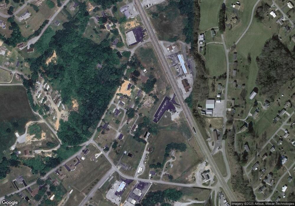
203 Noe Dr Tazewell, TN 37879
Estimated Value: $144,000 - $407,000
2
Beds
1
Bath
912
Sq Ft
$260/Sq Ft
Est. Value
About This Home
This home is located at 203 Noe Dr, Tazewell, TN 37879 and is currently estimated at $237,333, approximately $260 per square foot. 203 Noe Dr is a home located in Claiborne County.
Ownership History
Date
Name
Owned For
Owner Type
Purchase Details
Closed on
Nov 8, 2024
Sold by
Fuson Julia
Bought by
Carey Michelle and Carey Lucas
Current Estimated Value
Purchase Details
Closed on
Jun 23, 2023
Sold by
Needham Whitney R
Bought by
Fuson Julia N
Purchase Details
Closed on
Jan 15, 2020
Sold by
Anderson Theodore Mark
Bought by
Needham Whitney R and Needham Tonia R
Home Financials for this Owner
Home Financials are based on the most recent Mortgage that was taken out on this home.
Original Mortgage
$78,108
Interest Rate
4.37%
Mortgage Type
FHA
Purchase Details
Closed on
Jan 3, 2020
Sold by
Anderson Stacey
Bought by
Anderson Theodore Mark
Home Financials for this Owner
Home Financials are based on the most recent Mortgage that was taken out on this home.
Original Mortgage
$78,108
Interest Rate
4.37%
Mortgage Type
FHA
Purchase Details
Closed on
Mar 17, 2005
Sold by
Home Federal Bank Fsb
Bought by
Anderson Theodore Mark
Home Financials for this Owner
Home Financials are based on the most recent Mortgage that was taken out on this home.
Original Mortgage
$48,000
Interest Rate
5.62%
Purchase Details
Closed on
Jan 14, 2005
Sold by
Home Federal Bank
Bought by
Anderson Theodore M
Home Financials for this Owner
Home Financials are based on the most recent Mortgage that was taken out on this home.
Original Mortgage
$48,000
Interest Rate
5.62%
Purchase Details
Closed on
Jan 8, 2004
Sold by
Brian Sellers E
Bought by
Home Federal Bank
Purchase Details
Closed on
Nov 25, 1997
Sold by
Collins Joann S
Bought by
Collins Joann S
Purchase Details
Closed on
Jan 29, 1990
Bought by
Collins Richard T and Collins Joann S
Purchase Details
Closed on
Dec 16, 1986
Bought by
Anders Janice Ruth
Purchase Details
Closed on
Jan 1, 1974
Bought by
Perry Herb and Perry Gina
Purchase Details
Closed on
Jan 2, 1973
Create a Home Valuation Report for This Property
The Home Valuation Report is an in-depth analysis detailing your home's value as well as a comparison with similar homes in the area
Home Values in the Area
Average Home Value in this Area
Purchase History
| Date | Buyer | Sale Price | Title Company |
|---|---|---|---|
| Carey Michelle | $9,000 | None Listed On Document | |
| Fuson Julia N | $8,000 | None Listed On Document | |
| Fuson Julia N | $8,000 | None Listed On Document | |
| Needham Whitney R | $79,550 | Colonial Title Group Inc | |
| Anderson Theodore Mark | -- | Colonial Title Group Inc | |
| Anderson Theodore Mark | $60,000 | -- | |
| Anderson Theodore M | $60,000 | -- | |
| Home Federal Bank | $42,000 | -- | |
| Collins Joann S | -- | -- | |
| Collins Richard T | $19,000 | -- | |
| Anders Janice Ruth | -- | -- | |
| Perry Herb | -- | -- | |
| -- | -- | -- |
Source: Public Records
Mortgage History
| Date | Status | Borrower | Loan Amount |
|---|---|---|---|
| Previous Owner | Needham Whitney R | $78,108 | |
| Previous Owner | Not Available | $48,000 | |
| Previous Owner | Not Available | $48,000 |
Source: Public Records
Tax History Compared to Growth
Tax History
| Year | Tax Paid | Tax Assessment Tax Assessment Total Assessment is a certain percentage of the fair market value that is determined by local assessors to be the total taxable value of land and additions on the property. | Land | Improvement |
|---|---|---|---|---|
| 2024 | $71 | $3,050 | $3,050 | $0 |
| 2023 | $71 | $3,050 | $3,050 | $0 |
| 2022 | $496 | $24,775 | $3,050 | $21,725 |
| 2021 | $509 | $19,750 | $3,325 | $16,425 |
| 2020 | $509 | $19,750 | $3,325 | $16,425 |
| 2019 | $509 | $19,750 | $3,325 | $16,425 |
| 2018 | $509 | $19,750 | $3,325 | $16,425 |
| 2017 | $509 | $19,750 | $3,325 | $16,425 |
| 2016 | $531 | $20,575 | $3,325 | $17,250 |
| 2015 | $510 | $20,575 | $3,325 | $17,250 |
| 2014 | $510 | $20,570 | $0 | $0 |
Source: Public Records
Map
Nearby Homes
- 1356 Old Highway 25e
- 0 Hwy 25 E Unit 1319225
- 0 Us-25e Scenic
- 154 Cristo Rd
- 2.38 Acres Us-25e Scenic
- 1934 Ball St
- 326 Wilson Hurst St
- 1828 Cherokee Cir
- 323 Wilson Hurst St
- 330 Wilson Hurst St
- 430 Mcvey Rd
- 0 Longshore Dr Unit 1235182
- 328 Wilson Hurst St
- 1702 Haynes St
- 1719 Boone Cir
- 865 Shade Pressnell Rd
- 728 Essary Rd
- 404 Cedar Fork Rd
- 1612 Stone St
- 0 Windward Blvd Unit 1311003
- 202 Noe Dr
- 209 Noe Dr
- 2027 Greever St
- 2165 Highway 25e
- 2023 Greever St
- 2021 Dogwood St
- 155 Anders Ln
- 2025 Dogwood St
- 2022 Greever St
- 2023 Dogwood St
- 2009 Greever St
- 140 Anders Ln
- 2280 Highway 25 E
- 206 Richardson Rd
- 2007 Dogwood St
- 2021 Greever St
- 2196 Highway 25e
- 110 Richardson Rd
- 0 Old Highway 25e Unit 1215271
- 0 Old Highway 25e Unit 1045742
