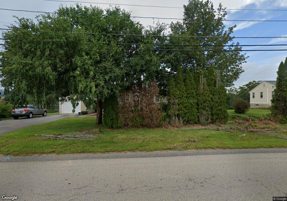
203 Shears St Wrentham, MA 02093
Estimated Value: $566,851 - $647,000
3
Beds
1
Bath
1,260
Sq Ft
$466/Sq Ft
Est. Value
About This Home
This home is located at 203 Shears St, Wrentham, MA 02093 and is currently estimated at $587,213, approximately $466 per square foot. 203 Shears St is a home located in Norfolk County with nearby schools including Delaney Elementary School and Charles E Roderick.
Ownership History
Date
Name
Owned For
Owner Type
Purchase Details
Closed on
Jan 27, 2005
Sold by
Tremblay Helen C
Bought by
Laplaca Brian M and Laplaca Karen E
Current Estimated Value
Home Financials for this Owner
Home Financials are based on the most recent Mortgage that was taken out on this home.
Original Mortgage
$240,000
Outstanding Balance
$121,346
Interest Rate
5.67%
Mortgage Type
Purchase Money Mortgage
Estimated Equity
$465,867
Purchase Details
Closed on
Aug 18, 1995
Sold by
Vatkevich Joseph
Bought by
Tremblay Helen C
Home Financials for this Owner
Home Financials are based on the most recent Mortgage that was taken out on this home.
Original Mortgage
$80,000
Interest Rate
7.61%
Mortgage Type
Purchase Money Mortgage
Create a Home Valuation Report for This Property
The Home Valuation Report is an in-depth analysis detailing your home's value as well as a comparison with similar homes in the area
Purchase History
| Date | Buyer | Sale Price | Title Company |
|---|---|---|---|
| Laplaca Brian M | $300,000 | -- | |
| Tremblay Helen C | $135,000 | -- |
Source: Public Records
Mortgage History
| Date | Status | Borrower | Loan Amount |
|---|---|---|---|
| Open | Laplaca Brian M | $240,000 | |
| Closed | Laplaca Brian M | $60,000 | |
| Previous Owner | Tremblay Helen C | $80,000 |
Source: Public Records
Map
Nearby Homes
- 246 Forest Grove Ave
- 287 Park St
- 500 Franklin St
- 45 Joshua Rd
- 10 Nature View Dr
- 15 Nature View Dr
- 50 Reed Fulton Ave Unit Lot 61
- 0 W Birch Rd
- 8 Ridgefield Rd
- 11 Weber Farm Rd Unit 11
- 8 Weber Farm Rd Unit 8
- 576 Dedham St
- 30 Weber Farm Rd Unit 30
- 11 Sharon Ave
- 9 Sharon Ave
- 2 Earle Stewart Ln
- 3 Earle Stewart Ln
- 12 Earle Stewart Ln
- 10 Earle Stewart Ln Unit Lot 5
- 23 Fredrickson Rd
Your Personal Tour Guide
Ask me questions while you tour the home.