Estimated Value: $115,000 - $132,000
--
Bed
--
Bath
568
Sq Ft
$224/Sq Ft
Est. Value
About This Home
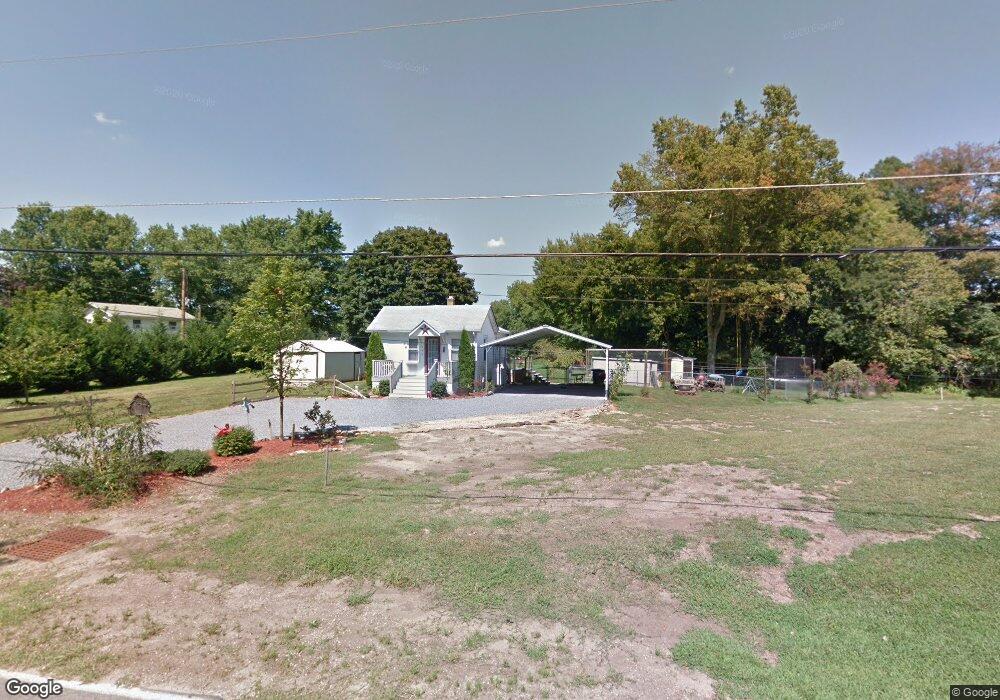
This home is located at 203 Sinnickson Landing Rd, Salem, NJ 08079 and is currently estimated at $127,243, approximately $224 per square foot. 203 Sinnickson Landing Rd is a home located in Salem County with nearby schools including Elsinboro Township School.
Ownership History
Date
Name
Owned For
Owner Type
Purchase Details
Closed on
Sep 27, 2007
Sold by
Drummond Robert
Bought by
Perry Jennifer Lynn
Current Estimated Value
Purchase Details
Closed on
Jul 20, 2000
Sold by
Cooper Billy R and Cooper Debra M
Bought by
Drummond Robert
Home Financials for this Owner
Home Financials are based on the most recent Mortgage that was taken out on this home.
Original Mortgage
$45,105
Interest Rate
8.28%
Purchase Details
Closed on
Aug 3, 1995
Sold by
Ball Virgil A and Ball Dollie B
Bought by
Cooper Billy and Cooper Debra
Create a Home Valuation Report for This Property
The Home Valuation Report is an in-depth analysis detailing your home's value as well as a comparison with similar homes in the area
Home Values in the Area
Average Home Value in this Area
Purchase History
| Date | Buyer | Sale Price | Title Company |
|---|---|---|---|
| Perry Jennifer Lynn | $69,149 | -- | |
| -- | $69,100 | -- | |
| Drummond Robert | $46,500 | Intercoastal Title Agency In | |
| Cooper Billy | -- | -- |
Source: Public Records
Mortgage History
| Date | Status | Borrower | Loan Amount |
|---|---|---|---|
| Previous Owner | Drummond Robert | $45,105 |
Source: Public Records
Tax History Compared to Growth
Tax History
| Year | Tax Paid | Tax Assessment Tax Assessment Total Assessment is a certain percentage of the fair market value that is determined by local assessors to be the total taxable value of land and additions on the property. | Land | Improvement |
|---|---|---|---|---|
| 2025 | $2,381 | $76,300 | $44,300 | $32,000 |
| 2024 | $2,256 | $76,300 | $44,300 | $32,000 |
| 2023 | $2,256 | $76,300 | $44,300 | $32,000 |
| 2022 | $2,200 | $76,300 | $44,300 | $32,000 |
| 2021 | $2,123 | $76,300 | $44,300 | $32,000 |
| 2020 | $2,153 | $76,300 | $44,300 | $32,000 |
| 2019 | $2,123 | $76,300 | $44,300 | $32,000 |
| 2018 | $2,073 | $76,300 | $44,300 | $32,000 |
| 2017 | $2,031 | $76,300 | $44,300 | $32,000 |
| 2016 | $1,957 | $76,300 | $44,300 | $32,000 |
| 2015 | $1,848 | $76,300 | $44,300 | $32,000 |
| 2014 | $1,788 | $76,300 | $44,300 | $32,000 |
Source: Public Records
Map
Nearby Homes
- 44 Delaware Ave
- 17 S Tilbury Rd
- 9 S Tilbury Rd
- 6 Friendship Dr
- 12 Phillip Dr
- 68 Amwellbury Rd
- 10 Delaware Dr
- 148 Amwellbury Rd
- 197 Pine Ave
- 243 Walnut Street Rd
- 188 Cook Ave
- 181 Crossland Ave
- 77 W Broadway
- 115 Chestnut St
- 39 Oak St
- 89 W Broadway
- 91 W Broadway
- 99 Chestnut St
- 43 45 Chestnut St
- 141 Wesley St
- 199 Sinnickson Landing Rd
- 211 Sinnickson Landing Rd
- 193 Sinnickson Landing Rd
- 191 Sinnickson Landing Rd
- 191 Sinnickson Landing Rd
- 189 Sinnickson Landing Rd
- 187 Sinnickson Landing Rd
- 188 Sinnickson Landing Rd
- 185 Sinnickson Landing Rd
- 179 Sinnickson Landing Rd
- 171 Sinnickson Landing Rd
- 184 Sinnickson Landing Rd
- 169 Sinnickson Landing Rd
- 167 Sinnickson Landing Rd
- 2 Schrier Ave
- 53 Schrier Ave
- 55 Slape Ave
- 59 Slape Ave
- 6 Schrier Ave
- 161 Sinnickson Landing Rd