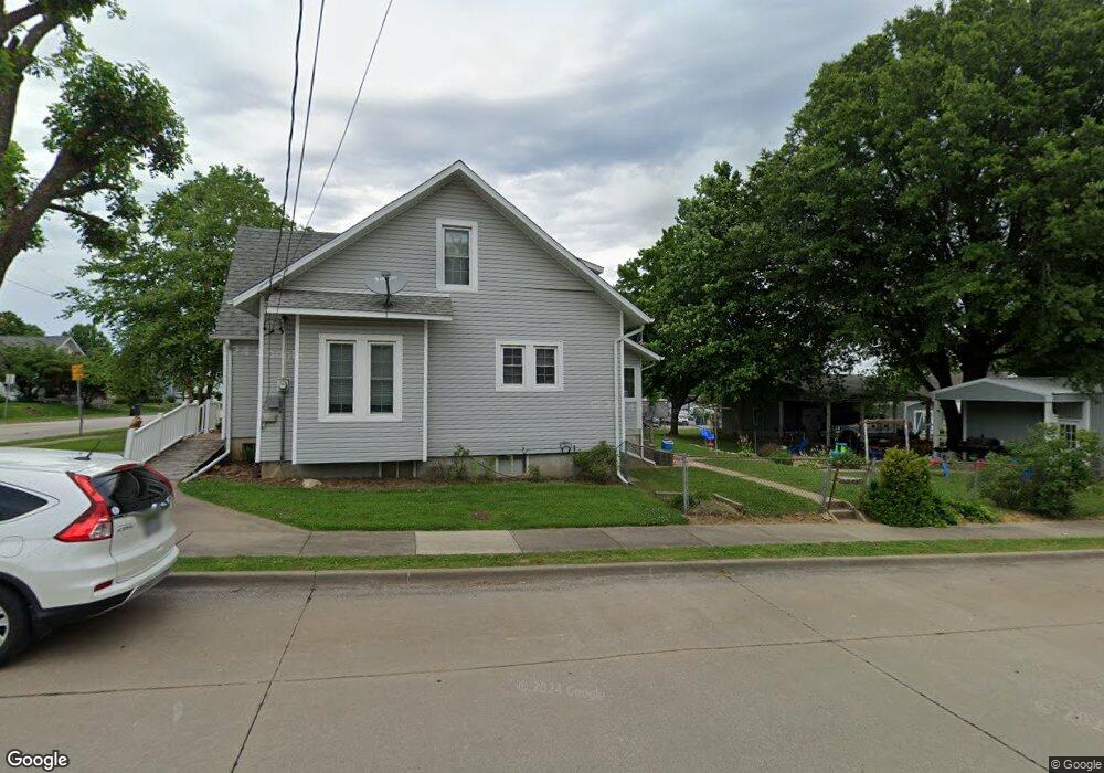
203 Smith St Perryville, MO 63775
Estimated Value: $134,000 - $192,000
1
Bed
1
Bath
1,282
Sq Ft
$124/Sq Ft
Est. Value
About This Home
This home is located at 203 Smith St, Perryville, MO 63775 and is currently estimated at $158,546, approximately $123 per square foot. 203 Smith St is a home with nearby schools including Perryville Elementary School, Perry County Middle School, and Perryville Senior High School.
Ownership History
Date
Name
Owned For
Owner Type
Purchase Details
Closed on
Apr 12, 2019
Sold by
Lukefahr Barbara L and Lukefahr Simon W
Bought by
Hadler Kirk T
Current Estimated Value
Home Financials for this Owner
Home Financials are based on the most recent Mortgage that was taken out on this home.
Original Mortgage
$105,050
Outstanding Balance
$91,598
Interest Rate
4.3%
Mortgage Type
Construction
Estimated Equity
$66,948
Create a Home Valuation Report for This Property
The Home Valuation Report is an in-depth analysis detailing your home's value as well as a comparison with similar homes in the area
Home Values in the Area
Average Home Value in this Area
Purchase History
| Date | Buyer | Sale Price | Title Company |
|---|---|---|---|
| Hadler Kirk T | $131,313 | Other |
Source: Public Records
Mortgage History
| Date | Status | Borrower | Loan Amount |
|---|---|---|---|
| Open | Hadler Kirk T | $105,050 |
Source: Public Records
Tax History
| Year | Tax Paid | Tax Assessment Tax Assessment Total Assessment is a certain percentage of the fair market value that is determined by local assessors to be the total taxable value of land and additions on the property. | Land | Improvement |
|---|---|---|---|---|
| 2025 | $880 | $17,486 | $2,684 | $14,802 |
| 2024 | $831 | $15,989 | $2,442 | $13,547 |
| 2023 | $828 | $15,989 | $2,442 | $13,547 |
| 2022 | $808 | $15,582 | $2,035 | $13,547 |
| 2021 | $808 | $15,582 | $2,035 | $13,547 |
| 2020 | $732 | $13,991 | $1,841 | $12,150 |
| 2019 | $705 | $13,520 | $1,841 | $11,679 |
| 2018 | $627 | $13,331 | $1,841 | $11,490 |
| 2017 | $627 | $13,331 | $1,841 | $11,490 |
| 2016 | $627 | $12,359 | $1,841 | $10,518 |
| 2015 | -- | $12,359 | $1,841 | $10,518 |
| 2014 | -- | $11,929 | $1,841 | $10,088 |
Source: Public Records
Map
Nearby Homes
- 202 Smith St
- 230 N Walnut St
- 23/25/27 W Saint Joseph St
- 333 Lynnie St
- 221 W Saint Joseph St
- 101 Ganahl St
- 317 S Shelby St
- 601 S Shelby St
- 710 Grand Ave
- 205 N Waters St
- 23 & 25 Henrietta Ln
- 0 N Highway 51
- 923 Chloe St
- 700 Feltz St
- 703 Bruce St
- 1021 Grand Ave
- 1841 N Main St
- 1512 Old Saint Marys Rd
- 1656 Redbud Ct
- 1654 Redbud Ct
- 207 Smith St
- 211 Smith St
- 501 E North St
- 423 E North St
- 509 E North St
- 423 East N
- 516 E North St
- 204 Smith St
- 519 E North St
- 208 Smith St
- 214 Smith St
- 219 Smith St
- 522 E North St
- 0 E North St
- 218 Smith St
- 223 Smith St
- 212 Doerr St
- 417 E North St
- 544 E Sainte Marie St
- 520 E Sainte Marie St Unit MARIES
Your Personal Tour Guide
Ask me questions while you tour the home.