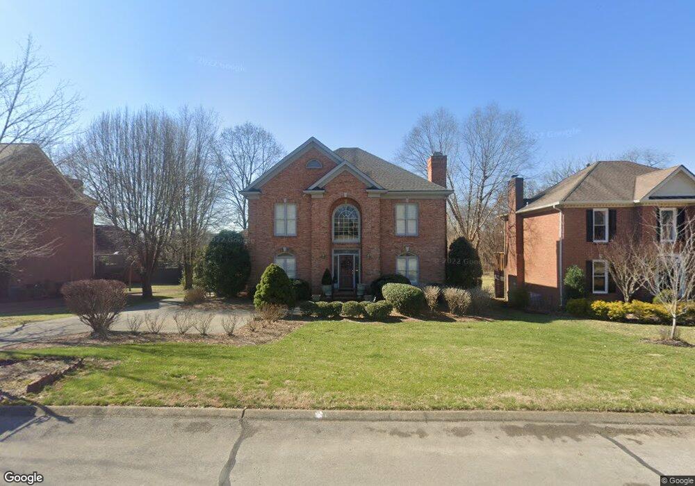
203 Sturbridge Dr Franklin, TN 37064
Central Franklin NeighborhoodEstimated Value: $1,067,121 - $1,384,000
--
Bed
5
Baths
4,147
Sq Ft
$306/Sq Ft
Est. Value
About This Home
This home is located at 203 Sturbridge Dr, Franklin, TN 37064 and is currently estimated at $1,271,030, approximately $306 per square foot. 203 Sturbridge Dr is a home located in Williamson County with nearby schools including Franklin Elementary School, Freedom Intermediate School, and Freedom Middle School.
Ownership History
Date
Name
Owned For
Owner Type
Purchase Details
Closed on
Aug 26, 2015
Sold by
Plummer Robert A and Plummer Mary
Bought by
Plummer Revocable Living Trust
Current Estimated Value
Purchase Details
Closed on
Oct 20, 2000
Sold by
Herrington Richard E and Herrington Retha L
Bought by
Plummer Robert A and Plummer Mary
Create a Home Valuation Report for This Property
The Home Valuation Report is an in-depth analysis detailing your home's value as well as a comparison with similar homes in the area
Home Values in the Area
Average Home Value in this Area
Purchase History
| Date | Buyer | Sale Price | Title Company |
|---|---|---|---|
| Plummer Revocable Living Trust | -- | Attorney | |
| Plummer Robert A | $415,000 | -- |
Source: Public Records
Tax History Compared to Growth
Tax History
| Year | Tax Paid | Tax Assessment Tax Assessment Total Assessment is a certain percentage of the fair market value that is determined by local assessors to be the total taxable value of land and additions on the property. | Land | Improvement |
|---|---|---|---|---|
| 2024 | -- | $173,250 | $37,500 | $135,750 |
| 2023 | $0 | $173,250 | $37,500 | $135,750 |
| 2022 | $4,715 | $173,250 | $37,500 | $135,750 |
| 2021 | $4,715 | $173,250 | $37,500 | $135,750 |
| 2020 | $4,387 | $135,975 | $25,000 | $110,975 |
| 2019 | $4,387 | $135,975 | $25,000 | $110,975 |
| 2018 | $4,292 | $135,975 | $25,000 | $110,975 |
| 2017 | $4,224 | $135,975 | $25,000 | $110,975 |
| 2016 | $4,211 | $135,975 | $25,000 | $110,975 |
| 2015 | -- | $123,825 | $21,250 | $102,575 |
| 2014 | -- | $123,825 | $21,250 | $102,575 |
Source: Public Records
Map
Nearby Homes
- 100 Basil Ct
- 624 Burghley Ln
- 306 Battery Ct
- 1412 Kinnard Dr
- 100 Ralston Ln
- 1251 Carriage Park Dr Unit 14A
- 215 Lewisburg Ave
- 121 Pebble View Dr
- 312 Bel Aire Dr
- 1 Pinewood Rd
- 308 Meadowlawn Dr
- 1277 Carriage Park Dr Unit 7B
- 1557 Kinnard Dr
- 314 James Ave
- 521 Maplegrove Dr
- 1335 Adams St
- 1405 Adams St
- 301 Mercury Dr
- 1324 Adams St
- 304 Berry Cir
- 199 Sturbridge Dr
- 705 Marlborough Place
- 207 Sturbridge Dr
- 195 Sturbridge Dr
- 709 Marlborough Place
- 191 Sturbridge Dr
- 208 Sturbridge Dr
- 194 Sturbridge Dr
- 708 Marlborough Place
- 604 Roanoke Place
- 603 Roanoke Place
- 187 Sturbridge Dr
- 704 Marlborough Place
- 700 Marlborough Place
- 186 Sturbridge Dr
- 210 Sturbridge Dr
- 608 Roanoke Place
- 804 Appomattox Place
- 612 Roanoke Place
- 607 Roanoke Place