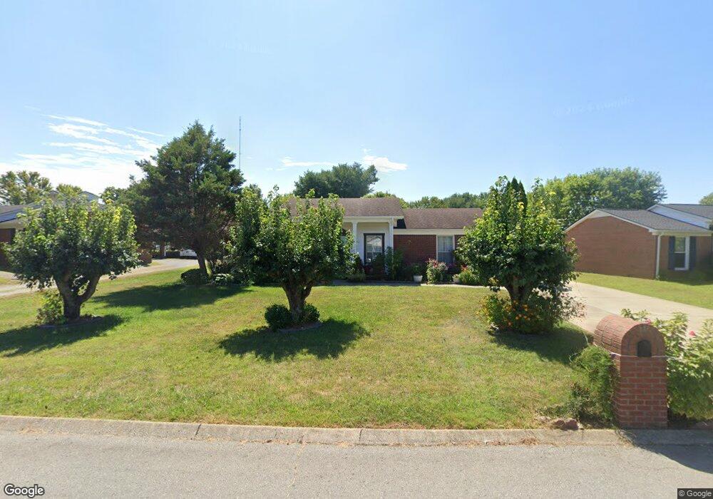
203 Westwind Dr Springfield, TN 37172
Estimated Value: $288,483 - $319,000
Studio
2
Baths
1,706
Sq Ft
$178/Sq Ft
Est. Value
About This Home
This home is located at 203 Westwind Dr, Springfield, TN 37172 and is currently estimated at $303,871, approximately $178 per square foot. 203 Westwind Dr is a home located in Robertson County with nearby schools including Coopertown Elementary School, Coopertown Middle School, and Springfield High School.
Ownership History
Date
Name
Owned For
Owner Type
Purchase Details
Closed on
May 12, 1999
Sold by
Antonio Angel
Bought by
Angel Alfredo C and Angel Celia M
Current Estimated Value
Purchase Details
Closed on
Nov 25, 1998
Sold by
Angel Antonio M
Bought by
Antonio Angel
Purchase Details
Closed on
Oct 30, 1993
Bought by
Moseley Charles M and Gilliam Sandra M
Create a Home Valuation Report for This Property
The Home Valuation Report is an in-depth analysis detailing your home's value as well as a comparison with similar homes in the area
Home Values in the Area
Average Home Value in this Area
Purchase History
| Date | Buyer | Sale Price | Title Company |
|---|---|---|---|
| Angel Alfredo C | $82,000 | -- | |
| Antonio Angel | $77,000 | -- | |
| Moseley Charles M | $20,000 | -- |
Source: Public Records
Tax History
| Year | Tax Paid | Tax Assessment Tax Assessment Total Assessment is a certain percentage of the fair market value that is determined by local assessors to be the total taxable value of land and additions on the property. | Land | Improvement |
|---|---|---|---|---|
| 2025 | -- | $57,000 | $13,750 | $43,250 |
| 2024 | -- | $57,000 | $13,750 | $43,250 |
| 2023 | $1,428 | $57,000 | $13,750 | $43,250 |
| 2022 | $1,464 | $40,125 | $6,200 | $33,925 |
| 2021 | $1,464 | $40,125 | $6,200 | $33,925 |
| 2020 | $1,464 | $40,125 | $6,200 | $33,925 |
| 2019 | $44,034 | $40,125 | $6,200 | $33,925 |
| 2018 | $1,464 | $40,125 | $6,200 | $33,925 |
| 2017 | $1,294 | $30,200 | $5,250 | $24,950 |
| 2016 | $1,294 | $30,200 | $5,250 | $24,950 |
| 2015 | $1,256 | $30,200 | $5,250 | $24,950 |
| 2014 | $1,068 | $25,675 | $5,250 | $20,425 |
Source: Public Records
Map
Nearby Homes
- 5148 Highway 49 W
- 7373 New Chapel Rd
- 2060 Beverly Ct
- 2086 Beverly Ct
- 588 19th Ave W
- 213 21st Ave W
- 2067 Bessie St
- 1421 Lawrence Ln
- 2083 Bessie St
- 2130 Bessie St
- 1 Bessie St
- 0 Bessie St
- 1511 Cheatham St
- 113 11th Ave W
- 1205 S Main St
- 1309 Batts Blvd
- 409 7th Ave W
- 702 Richard St
- 610 5th Ave W
- 301 E 22nd Ave
- 201 Westwind Dr
- 205 Westwind Dr
- 207 Westwind Dr
- 109 Westwind Dr
- 107 Westwind Dr
- 200 Valley Dr
- 202 Westwind Dr
- 204 Westwind Dr
- 200 Westwind Dr
- 105 Westwind Dr
- 206 Westwind Dr
- 209 Westwind Dr
- 208 Westwind Dr
- 103 Westwind Dr
- 108 Westwind Dr
- 110 Westwind Dr
- 210 Westwind Dr
- 212 Westwind Dr
- 106 Westwind Dr
- 201 Valley Dr
Your Personal Tour Guide
Ask me questions while you tour the home.