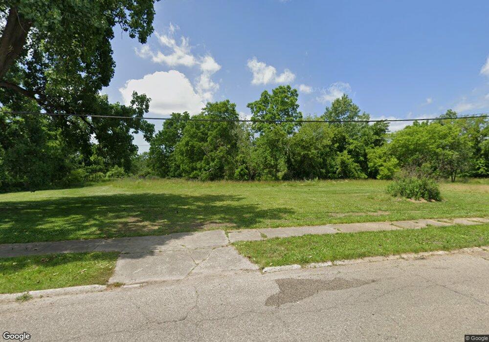
2030 Clifford St Flint, MI 48503
South Parks NeighborhoodEstimated Value: $54,000 - $69,000
3
Beds
1
Bath
1,016
Sq Ft
$61/Sq Ft
Est. Value
About This Home
This home is located at 2030 Clifford St, Flint, MI 48503 and is currently estimated at $61,500, approximately $60 per square foot. 2030 Clifford St is a home located in Genesee County with nearby schools including Freeman Elementary School, Flint Southwestern Classical Academy, and International Academy of Flint (K-12).
Ownership History
Date
Name
Owned For
Owner Type
Purchase Details
Closed on
Dec 20, 2016
Sold by
Cherry Deborah L
Bought by
Genesee Countuy Land Bank
Current Estimated Value
Purchase Details
Closed on
Jul 9, 2012
Sold by
Harvey Barbara A
Bought by
Quarles Ronese
Purchase Details
Closed on
Sep 24, 2009
Sold by
Reaves Roxie B
Bought by
Quarles Joe
Purchase Details
Closed on
Oct 11, 2004
Sold by
Green Shirley J and Reaves Roxie
Bought by
Reaves Roxie
Purchase Details
Closed on
Oct 1, 2001
Sold by
Jacobs Helen
Bought by
Green Shirley J and Gladney Roxie
Create a Home Valuation Report for This Property
The Home Valuation Report is an in-depth analysis detailing your home's value as well as a comparison with similar homes in the area
Home Values in the Area
Average Home Value in this Area
Purchase History
| Date | Buyer | Sale Price | Title Company |
|---|---|---|---|
| Genesee Countuy Land Bank | -- | None Available | |
| Quarles Ronese | -- | Cislo Title Company | |
| Quarles Joe | -- | None Available | |
| Reaves Roxie | -- | -- | |
| Green Shirley J | -- | -- |
Source: Public Records
Tax History Compared to Growth
Tax History
| Year | Tax Paid | Tax Assessment Tax Assessment Total Assessment is a certain percentage of the fair market value that is determined by local assessors to be the total taxable value of land and additions on the property. | Land | Improvement |
|---|---|---|---|---|
| 2025 | -- | $0 | $0 | $0 |
| 2024 | -- | $0 | $0 | $0 |
| 2023 | -- | $0 | $0 | $0 |
| 2022 | $0 | $0 | $0 | $0 |
| 2021 | $0 | $0 | $0 | $0 |
| 2020 | $0 | $0 | $0 | $0 |
| 2019 | $488 | $0 | $0 | $0 |
| 2018 | $221 | $0 | $0 | $0 |
| 2017 | $221 | $0 | $0 | $0 |
| 2016 | $488 | $0 | $0 | $0 |
| 2015 | $0 | $0 | $0 | $0 |
| 2014 | -- | $0 | $0 | $0 |
| 2012 | -- | $5,300 | $0 | $0 |
Source: Public Records
Map
Nearby Homes
- 420 Pingree Ave
- 2050 Ferris Ave
- 2121 Dwight Ave
- 2010 Crocker Ave
- 2224 Crocker Ave
- 1628 Broad Ct
- 2029 Aitken Ave
- 1110 Pingree Ave
- 2221 Howard Ave
- 133 E Oakley St
- 517 Morley Ave
- 639 Monroe St
- 1517 Tacoma St
- 1511 Tacoma St
- 647 Monroe St
- 930 Belmont Ave
- 1601 Wayne St
- A Avenue
- 213 E Lakeview Ave
- 911 E 7th St
- 2022 Clifford St
- 2015 Clifford St
- 2027 Clifford St
- 2046 Clifford St
- 2023 Clifford St
- 2012 Clifford St
- 218 E 15th St
- 2019 Clifford St
- 302 E 15th St
- 2010 Clifford St
- 2038 Warner Ave
- 2034 Warner Ave
- 2042 Warner Ave
- 2050 Warner Ave
- 2030 Warner Ave
- 2026 Warner Ave
- 2049 Warner Ave
- 2041 Warner Ave
- 2033 Warner Ave
- 2045 Warner Ave