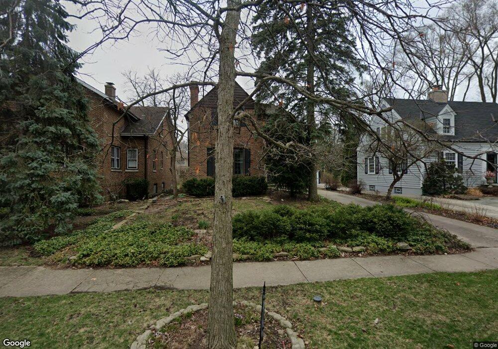
2030 Hawthorne Ln Evanston, IL 60201
North Evanston NeighborhoodEstimated Value: $787,000 - $915,000
4
Beds
2
Baths
2,056
Sq Ft
$423/Sq Ft
Est. Value
About This Home
This home is located at 2030 Hawthorne Ln, Evanston, IL 60201 and is currently estimated at $870,054, approximately $423 per square foot. 2030 Hawthorne Ln is a home located in Cook County with nearby schools including Lincolnwood Elementary School, Haven Middle School, and Evanston Township High School.
Ownership History
Date
Name
Owned For
Owner Type
Purchase Details
Closed on
Mar 11, 2025
Sold by
Cochran Richard J
Bought by
Richard J Cochran Trust and Cochran
Current Estimated Value
Purchase Details
Closed on
Dec 1, 1994
Sold by
Cochran Richard J and Cochran Barbara A
Bought by
Cochran Richard J and Cochran Barbara A
Create a Home Valuation Report for This Property
The Home Valuation Report is an in-depth analysis detailing your home's value as well as a comparison with similar homes in the area
Home Values in the Area
Average Home Value in this Area
Purchase History
| Date | Buyer | Sale Price | Title Company |
|---|---|---|---|
| Richard J Cochran Trust | -- | None Listed On Document | |
| Cochran Richard J | -- | -- |
Source: Public Records
Tax History Compared to Growth
Tax History
| Year | Tax Paid | Tax Assessment Tax Assessment Total Assessment is a certain percentage of the fair market value that is determined by local assessors to be the total taxable value of land and additions on the property. | Land | Improvement |
|---|---|---|---|---|
| 2024 | $13,081 | $60,000 | $16,875 | $43,125 |
| 2023 | $12,507 | $60,000 | $16,875 | $43,125 |
| 2022 | $12,507 | $60,000 | $16,875 | $43,125 |
| 2021 | $14,077 | $59,041 | $11,250 | $47,791 |
| 2020 | $13,997 | $59,041 | $11,250 | $47,791 |
| 2019 | $13,738 | $64,809 | $11,250 | $53,559 |
| 2018 | $15,137 | $61,432 | $9,375 | $52,057 |
| 2017 | $14,770 | $61,432 | $9,375 | $52,057 |
| 2016 | $14,463 | $61,432 | $9,375 | $52,057 |
| 2015 | $11,474 | $47,289 | $7,875 | $39,414 |
| 2014 | $11,390 | $47,289 | $7,875 | $39,414 |
| 2013 | $11,101 | $47,289 | $7,875 | $39,414 |
Source: Public Records
Map
Nearby Homes
- 2440 Simpson St
- 2101 Pioneer Rd
- 2422 Grant St
- 2011 Grey Ave
- 1808 Laurel Ave
- 1811 Laurel Ave
- 9433 Lincolnwood Dr
- 2221 Lincolnwood Dr
- 2020 Colfax St
- 1633 Mcdaniel Ave
- 1915 Grant St
- 1718 Hovland Ct
- 1813 Dodge Ave
- 2951 Colfax St
- 1811 Lyons St
- 2108 Harrison St
- 1801 Lyons St
- 2720 Central St Unit 4C
- 2726 Central St Unit 3D
- 2539.5 Prairie Ave Unit 3W
- 2026 Hawthorne Ln
- 2034 Hawthorne Ln
- 2038 Hawthorne Ln
- 2022 Hawthorne Ln
- 6 Martha Ln
- 5 Martha Ln
- 2016 Hawthorne Ln
- 2042 Hawthorne Ln
- 7 Martha Ln
- 2031 Hawthorne Ln
- 2027 Hawthorne Ln
- 2426 Simpson St
- 2012 Hawthorne Ln
- 2040 Hawthorne Ln
- 2048 Hawthorne Ln
- 8 Martha Ln
- 4 Martha Ln
- 2430 Simpson St
- 2020 Hawthorne Ln
- 2410 Simpson St