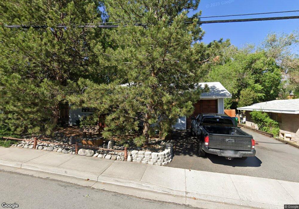
2030 Keystone Ave Reno, NV 89503
Kings Row NeighborhoodEstimated Value: $464,000 - $534,000
4
Beds
2
Baths
1,536
Sq Ft
$321/Sq Ft
Est. Value
About This Home
This home is located at 2030 Keystone Ave, Reno, NV 89503 and is currently estimated at $492,643, approximately $320 per square foot. 2030 Keystone Ave is a home located in Washoe County with nearby schools including Peavine Elementary School, Archie Clayton Pre-AP Academy, and Reno High School.
Ownership History
Date
Name
Owned For
Owner Type
Purchase Details
Closed on
Feb 23, 2017
Sold by
Fornia John W
Bought by
Forni John W
Current Estimated Value
Home Financials for this Owner
Home Financials are based on the most recent Mortgage that was taken out on this home.
Original Mortgage
$191,624
Interest Rate
4.09%
Mortgage Type
New Conventional
Purchase Details
Closed on
Feb 18, 1997
Sold by
Forni William J and Forni Marilyn A
Bought by
Forni John W
Create a Home Valuation Report for This Property
The Home Valuation Report is an in-depth analysis detailing your home's value as well as a comparison with similar homes in the area
Home Values in the Area
Average Home Value in this Area
Purchase History
| Date | Buyer | Sale Price | Title Company |
|---|---|---|---|
| Forni John W | -- | None Available | |
| Forni John W | -- | -- |
Source: Public Records
Mortgage History
| Date | Status | Borrower | Loan Amount |
|---|---|---|---|
| Closed | Forni John W | $191,624 |
Source: Public Records
Tax History
| Year | Tax Paid | Tax Assessment Tax Assessment Total Assessment is a certain percentage of the fair market value that is determined by local assessors to be the total taxable value of land and additions on the property. | Land | Improvement |
|---|---|---|---|---|
| 2026 | $1,182 | $65,560 | $36,257 | $29,304 |
| 2024 | $1,544 | $66,538 | $35,611 | $30,927 |
| 2023 | $2,652 | $66,960 | $37,240 | $29,720 |
| 2022 | $1,436 | $54,238 | $29,925 | $24,313 |
| 2021 | $1,396 | $44,653 | $20,183 | $24,470 |
| 2020 | $1,353 | $43,797 | $18,986 | $24,811 |
| 2019 | $1,316 | $43,463 | $19,285 | $24,178 |
| 2018 | $1,274 | $38,365 | $14,455 | $23,910 |
| 2017 | $1,240 | $37,090 | $12,915 | $24,175 |
| 2016 | $1,214 | $36,328 | $11,340 | $24,988 |
| 2015 | $2,576 | $35,084 | $9,625 | $25,459 |
| 2014 | $1,178 | $33,112 | $8,575 | $24,537 |
| 2013 | -- | $30,627 | $6,125 | $24,502 |
Source: Public Records
Map
Nearby Homes
- 1620 Harold Dr
- 1695 Severn Dr
- 2050 Lassen Dr
- 2295 Ellendale Rd
- 1540 O Farrell St
- 840 Brookfield Dr
- 2050 Ives Ave
- 971 Melba Dr
- 880 Ruby Ave
- 2801 Kings Row
- 2645 Emily St
- 1495 Exeter Way
- 407 Imperial Blvd
- 1045 Hartford Ct
- 1801 Carlin St
- 1111 Strand Place
- 960 Ralston St
- 1495 Doric Dr
- 3020 Kings Row
- 1470 Marne Dr
- 2050 Keystone Ave
- 2010 Keystone Ave
- 2000 Keystone Ave
- 2070 Keystone Ave
- 1890 Bonneville Ave
- 1902 Bonneville Ave
- 1870 Bonneville Ave
- 2045 Keystone Ave
- 2090 Keystone Ave
- 1850 Bonneville Ave
- 2025 Keystone Ave
- 1970 Keystone Ave
- 2065 Keystone Ave
- 2005 Keystone Ave
- 1985 Keystone Ave
- 1840 Bonneville Ave
- 60 Penrose Dr
- 60 Penrose St
- 1865 Bonneville Ave
- 1905 Bonneville Ave
Your Personal Tour Guide
Ask me questions while you tour the home.