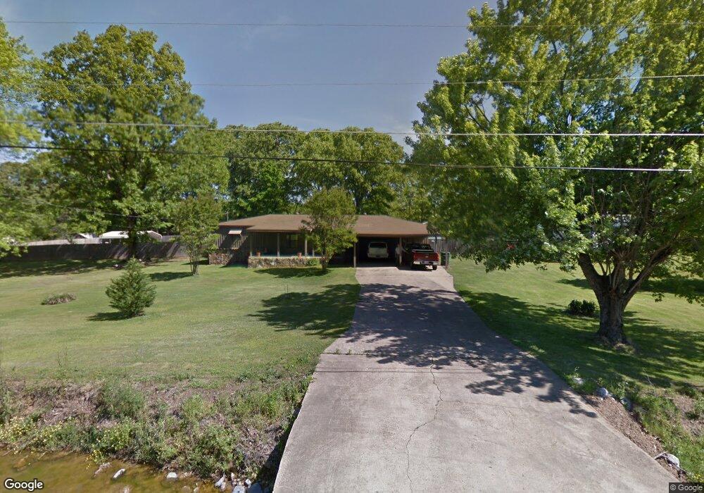
2030 King Rd Southaven, MS 38671
Estimated Value: $246,583 - $331,000
3
Beds
--
Bath
1,931
Sq Ft
$148/Sq Ft
Est. Value
About This Home
This home is located at 2030 King Rd, Southaven, MS 38671 and is currently estimated at $286,646, approximately $148 per square foot. 2030 King Rd is a home located in DeSoto County with nearby schools including DeSoto Central Elementary School, DeSoto Central Primary School, and DeSoto Central Middle School.
Ownership History
Date
Name
Owned For
Owner Type
Purchase Details
Closed on
Jan 25, 2021
Sold by
Hobbs Marvin L and Hobbs Phyllis M
Bought by
Tapley Brian David and Tapley Christina
Current Estimated Value
Home Financials for this Owner
Home Financials are based on the most recent Mortgage that was taken out on this home.
Original Mortgage
$78,184
Outstanding Balance
$69,891
Interest Rate
2.67%
Mortgage Type
FHA
Estimated Equity
$216,755
Create a Home Valuation Report for This Property
The Home Valuation Report is an in-depth analysis detailing your home's value as well as a comparison with similar homes in the area
Home Values in the Area
Average Home Value in this Area
Purchase History
| Date | Buyer | Sale Price | Title Company |
|---|---|---|---|
| Tapley Brian David | -- | Guardian Title Llc |
Source: Public Records
Mortgage History
| Date | Status | Borrower | Loan Amount |
|---|---|---|---|
| Open | Tapley Brian David | $78,184 |
Source: Public Records
Tax History Compared to Growth
Tax History
| Year | Tax Paid | Tax Assessment Tax Assessment Total Assessment is a certain percentage of the fair market value that is determined by local assessors to be the total taxable value of land and additions on the property. | Land | Improvement |
|---|---|---|---|---|
| 2024 | $336 | $9,767 | $1,000 | $8,767 |
| 2023 | $336 | $9,767 | $0 | $0 |
| 2022 | $244 | $9,166 | $1,000 | $8,166 |
| 2021 | $473 | $10,779 | $1,500 | $9,279 |
| 2020 | $575 | $11,500 | $1,500 | $10,000 |
| 2019 | $575 | $11,500 | $1,500 | $10,000 |
| 2017 | $542 | $20,996 | $11,248 | $9,748 |
| 2016 | $542 | $11,248 | $1,500 | $9,748 |
| 2015 | $1,602 | $20,996 | $11,248 | $9,748 |
| 2014 | $542 | $11,248 | $0 | $0 |
| 2013 | $1,310 | $11,248 | $0 | $0 |
Source: Public Records
Map
Nearby Homes
- 2041 King Rd
- 6612 Grand Oak Ln
- 2081 Eagle Point Cove
- 2224 Baird Cove
- 5098 Harlech Castle
- 5036 Harlech Castle
- 2595 Hunters Pointe Dr
- 5135 Windy Ridge Dr
- 2615 Dela Dr
- 2219 Metcalf Way
- 1920 Church Rd E
- 5623 Antler Trail
- 0 Church Rd E
- 771 Church Rd S
- 2531 Saint Charles Cove
- 6555 Westland Ct
- 000 Church Rd E
- 2558 Saint Charles Cove
- 6530 Eastland Ct
- 2543 Saint Charles Cove
- 1995 King Rd
- 2038 King Rd
- 1952 King Rd
- 0 King Rd
- 2064 King Rd
- 5805 Tchulahoma Rd
- 4 Carriage Ct
- 5808 Tchulahoma Rd
- 5802 Tchulahoma Rd
- 2075 King Rd
- 2058 Mallard Cove
- 5 Carriage Ct
- 1994 Mallard Cove
- 5829 Tchulahoma Rd
- 2088 Mallard Cove
- 5582 Mallard Cove
- 1962 Mallard Cove
- 5759 Tchulahoma Rd
- 5801 Tchulahoma Rd
- 2025 Queens Ct