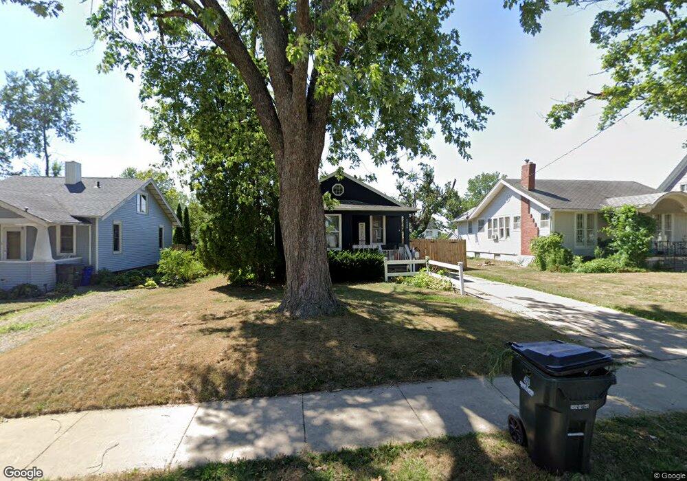
2030 Linn Blvd SE Cedar Rapids, IA 52403
Bever Park NeighborhoodEstimated Value: $129,000 - $158,000
2
Beds
1
Bath
704
Sq Ft
$211/Sq Ft
Est. Value
About This Home
This home is located at 2030 Linn Blvd SE, Cedar Rapids, IA 52403 and is currently estimated at $148,328, approximately $210 per square foot. 2030 Linn Blvd SE is a home located in Linn County with nearby schools including Arthur Elementary School, Franklin Middle School, and George Washington High School.
Ownership History
Date
Name
Owned For
Owner Type
Purchase Details
Closed on
May 31, 2007
Sold by
Eichler Edward C and Eichler Jeanne M
Bought by
Lacayo Dalin M
Current Estimated Value
Home Financials for this Owner
Home Financials are based on the most recent Mortgage that was taken out on this home.
Original Mortgage
$84,550
Interest Rate
8.37%
Mortgage Type
Unknown
Create a Home Valuation Report for This Property
The Home Valuation Report is an in-depth analysis detailing your home's value as well as a comparison with similar homes in the area
Home Values in the Area
Average Home Value in this Area
Purchase History
| Date | Buyer | Sale Price | Title Company |
|---|---|---|---|
| Lacayo Dalin M | $88,500 | Ticor Title Insurance |
Source: Public Records
Mortgage History
| Date | Status | Borrower | Loan Amount |
|---|---|---|---|
| Previous Owner | Lacayo Dalin M | $84,550 |
Source: Public Records
Tax History Compared to Growth
Tax History
| Year | Tax Paid | Tax Assessment Tax Assessment Total Assessment is a certain percentage of the fair market value that is determined by local assessors to be the total taxable value of land and additions on the property. | Land | Improvement |
|---|---|---|---|---|
| 2025 | $1,902 | $120,000 | $30,000 | $90,000 |
| 2024 | $2,060 | $107,500 | $26,300 | $81,200 |
| 2023 | $2,060 | $107,500 | $26,300 | $81,200 |
| 2022 | $1,924 | $97,700 | $26,300 | $71,400 |
| 2021 | $1,958 | $92,900 | $26,300 | $66,600 |
| 2020 | $1,958 | $88,700 | $20,000 | $68,700 |
| 2019 | $1,828 | $84,800 | $20,000 | $64,800 |
| 2018 | $1,778 | $84,800 | $20,000 | $64,800 |
| 2017 | $1,820 | $83,600 | $20,000 | $63,600 |
| 2016 | $1,710 | $80,400 | $20,000 | $60,400 |
| 2015 | $1,734 | $81,536 | $20,000 | $61,536 |
| 2014 | $1,734 | $91,146 | $25,000 | $66,146 |
| 2013 | $1,898 | $91,146 | $25,000 | $66,146 |
Source: Public Records
Map
Nearby Homes
- 2027 Linn Blvd SE
- 440 Liberty Dr SE
- 2241 Linden Dr SE
- 190 Cottage Grove Ave SE Unit 104
- 190 Cottage Grove Ave SE Unit 108
- 190 Cottage Grove Ave SE Unit 212
- 2135 1st Ave SE Unit 115
- 2135 1st Ave SE
- 2135 1st Ave SE Unit 121
- 2135 1st Ave SE Unit 215
- 2135 1st Ave SE Unit 325
- 2135 1st Ave SE Unit 217
- 2131 1st Ave SE Unit 116
- 2131 1st Ave SE Unit 310
- 2132 Lincolnshire Dr SE
- 18 Blake Terrace SE
- 100 Thompson Dr SE Unit 320
- 100 Thompson Dr SE Unit 212
- 2260 Country Club Pkwy SE
- 2144 Grande Ave SE
- 2026 Linn Blvd SE
- 2036 Linn Blvd SE
- 2022 Linn Blvd SE
- 2042 Linn Blvd SE
- 2033 Forest Dr SE
- 2016 Linn Blvd SE
- 2046 Linn Blvd SE
- 2041 Forest Dr SE
- 2027 Forest Dr SE
- 2035 Linn Blvd SE
- 2037 Linn Blvd SE
- 2052 Linn Blvd SE
- 2012 Linn Blvd SE
- 2055 Forest Dr SE
- 2043 Linn Blvd SE
- 2023 Linn Blvd SE
- 2047 Linn Blvd SE
- 2011 Forest Dr SE
- 2017 Linn Blvd SE
- 201 Liberty Dr SE