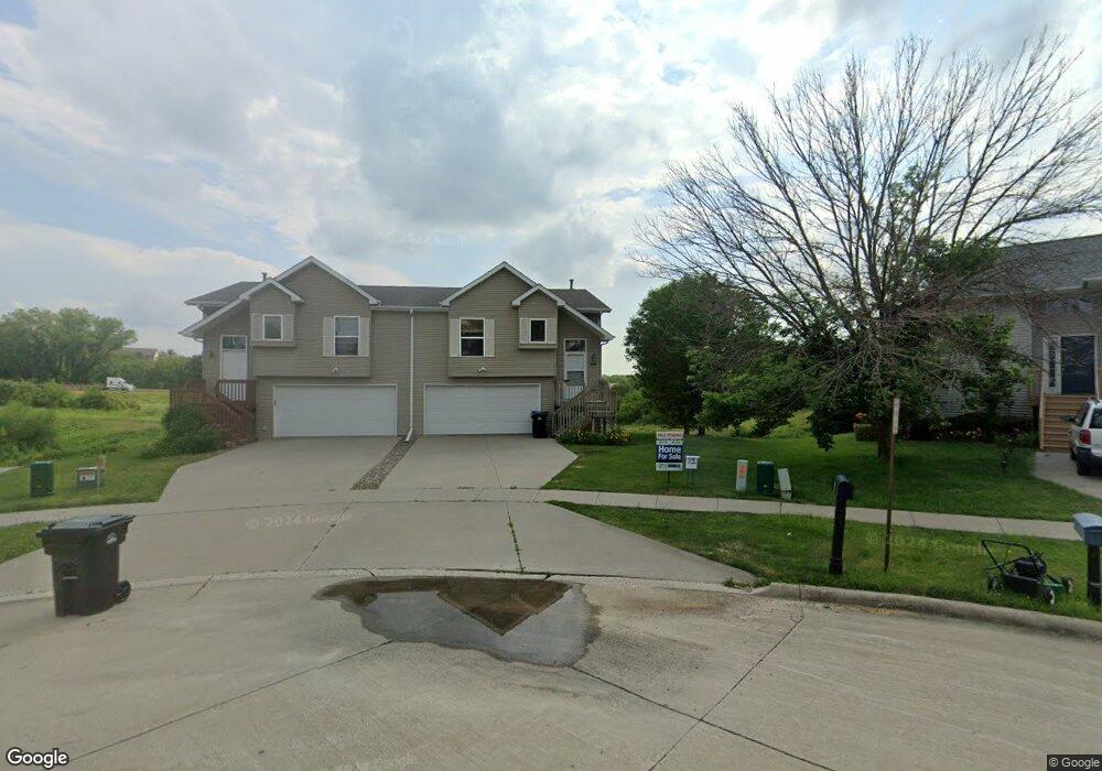
2030 Northland Cir Coralville, IA 52241
Estimated Value: $226,530 - $243,000
3
Beds
2
Baths
1,329
Sq Ft
$178/Sq Ft
Est. Value
About This Home
This home is located at 2030 Northland Cir, Coralville, IA 52241 and is currently estimated at $236,133, approximately $177 per square foot. 2030 Northland Cir is a home located in Johnson County with nearby schools including Central Elementary School, Northwest Junior High School, and West High School.
Ownership History
Date
Name
Owned For
Owner Type
Purchase Details
Closed on
Jun 27, 2024
Sold by
Bender Chad D
Bought by
Almberg Caroline E and Almberg Anders S
Current Estimated Value
Home Financials for this Owner
Home Financials are based on the most recent Mortgage that was taken out on this home.
Original Mortgage
$180,000
Outstanding Balance
$177,668
Interest Rate
6.94%
Mortgage Type
New Conventional
Estimated Equity
$58,465
Create a Home Valuation Report for This Property
The Home Valuation Report is an in-depth analysis detailing your home's value as well as a comparison with similar homes in the area
Home Values in the Area
Average Home Value in this Area
Purchase History
| Date | Buyer | Sale Price | Title Company |
|---|---|---|---|
| Almberg Caroline E | $225,000 | None Listed On Document |
Source: Public Records
Mortgage History
| Date | Status | Borrower | Loan Amount |
|---|---|---|---|
| Open | Almberg Caroline E | $180,000 |
Source: Public Records
Tax History Compared to Growth
Tax History
| Year | Tax Paid | Tax Assessment Tax Assessment Total Assessment is a certain percentage of the fair market value that is determined by local assessors to be the total taxable value of land and additions on the property. | Land | Improvement |
|---|---|---|---|---|
| 2025 | $3,960 | $220,900 | $54,500 | $166,400 |
| 2024 | $3,802 | $213,600 | $54,500 | $159,100 |
| 2023 | $3,416 | $207,800 | $54,500 | $153,300 |
| 2022 | $3,416 | $162,900 | $24,800 | $138,100 |
| 2021 | $3,260 | $162,900 | $24,800 | $138,100 |
| 2020 | $3,260 | $156,300 | $24,800 | $131,500 |
| 2019 | $2,828 | $156,300 | $24,800 | $131,500 |
| 2018 | $2,774 | $136,600 | $24,800 | $111,800 |
| 2017 | $2,774 | $136,600 | $24,800 | $111,800 |
| 2016 | $2,782 | $139,900 | $24,800 | $115,100 |
| 2015 | $2,782 | $139,900 | $24,800 | $115,100 |
| 2014 | $2,482 | $124,400 | $24,800 | $99,600 |
Source: Public Records
Map
Nearby Homes
- 1428 Kenai Ct
- 2100 14th St Unit 42A
- 1357 Ozark Ridge
- 2050 S Ridge Dr
- 2106 Holiday Rd
- 2060 Holiday Rd
- 1730 Lynncrest Dr
- 1731 Parkway Dr
- 2239 13th St
- 2262 Holiday Rd Unit 104
- 2267 13th St Unit 65B
- 2270 Holiday Rd Unit 509
- 1333 Woolridge Dr
- 996 22nd Ave
- 2102 10th Street Place
- 1912 N Ridge Dr
- 1018 16th Ave
- 1445 Valley View Dr
- 1721 12th Ave
- 1202 21st Avenue Place
- 2028 Northland Cir
- 2032 Northland Cir
- 2034 Northland Cir Unit B
- 2034 Northland Cir
- 2026 Northland Cir Unit A
- 2026 Northland Cir
- 2036 Northland Cir Unit 20A
- 2024 Northland Cir
- 2038 Northland Cir Unit 20B
- 2022 Northland Cir Unit A
- 2040 Northland Cir
- 2020 Northland Cir Unit B
- 2042 Northland Cir
- 2044 Northland Cir
- 2082 S Ridge Dr
- 2080 S Ridge Dr
- 2084 S Ridge Dr
- 2016 Northland Cir
- 2046 Northland Cir
- 2078 S Ridge Dr