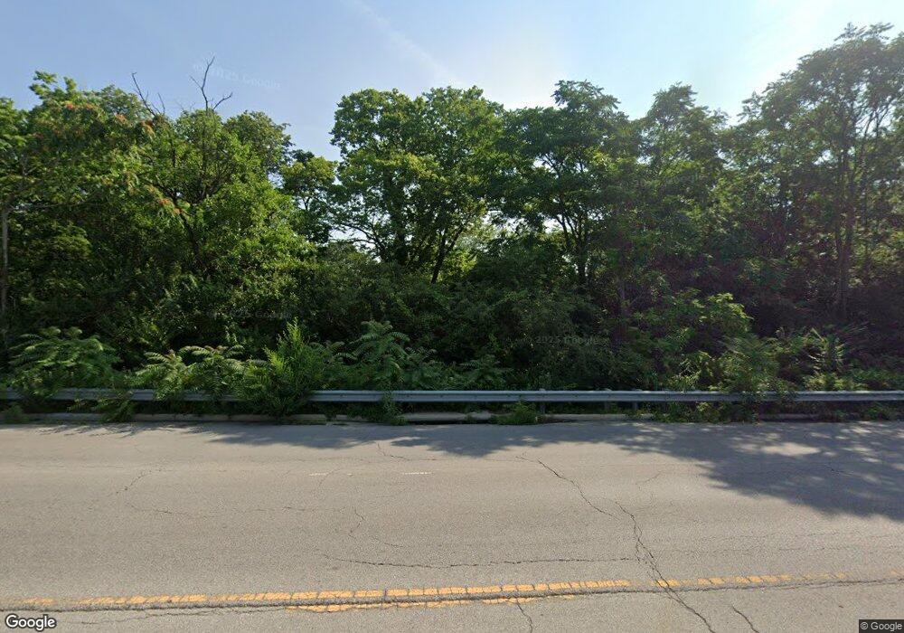
2030 Riverside Dr Columbus, OH 43221
Estimated Value: $418,000 - $526,000
2
Beds
2
Baths
1,324
Sq Ft
$364/Sq Ft
Est. Value
About This Home
This home is located at 2030 Riverside Dr, Columbus, OH 43221 and is currently estimated at $481,308, approximately $363 per square foot. 2030 Riverside Dr is a home located in Franklin County with nearby schools including Barrington Road Elementary School, Jones Middle School, and Upper Arlington High School.
Ownership History
Date
Name
Owned For
Owner Type
Purchase Details
Closed on
Oct 28, 2020
Sold by
Satchell Brian C and Keever Kyle
Bought by
Belvedere Joseph F and Soles Donald L
Current Estimated Value
Purchase Details
Closed on
Mar 28, 2007
Sold by
Myers Ann P and Leasure Perry
Bought by
Satchell Brian C
Home Financials for this Owner
Home Financials are based on the most recent Mortgage that was taken out on this home.
Original Mortgage
$159,080
Outstanding Balance
$97,028
Interest Rate
6.31%
Mortgage Type
Purchase Money Mortgage
Estimated Equity
$384,280
Purchase Details
Closed on
May 26, 1987
Bought by
Myers Ann P
Purchase Details
Closed on
Aug 1, 1985
Create a Home Valuation Report for This Property
The Home Valuation Report is an in-depth analysis detailing your home's value as well as a comparison with similar homes in the area
Home Values in the Area
Average Home Value in this Area
Purchase History
| Date | Buyer | Sale Price | Title Company |
|---|---|---|---|
| Belvedere Joseph F | $320,000 | Clean Title Agency Inc | |
| Satchell Brian C | $164,000 | Chicago Tit | |
| Myers Ann P | $64,000 | -- | |
| -- | $61,300 | -- |
Source: Public Records
Mortgage History
| Date | Status | Borrower | Loan Amount |
|---|---|---|---|
| Open | Satchell Brian C | $159,080 |
Source: Public Records
Tax History Compared to Growth
Tax History
| Year | Tax Paid | Tax Assessment Tax Assessment Total Assessment is a certain percentage of the fair market value that is determined by local assessors to be the total taxable value of land and additions on the property. | Land | Improvement |
|---|---|---|---|---|
| 2024 | $7,694 | $132,900 | $61,250 | $71,650 |
| 2023 | $7,599 | $132,900 | $61,250 | $71,650 |
| 2022 | $6,596 | $94,400 | $49,000 | $45,400 |
| 2021 | $6,153 | $94,400 | $49,000 | $45,400 |
| 2020 | $5,337 | $87,050 | $49,000 | $38,050 |
| 2019 | $5,524 | $79,660 | $49,000 | $30,660 |
| 2018 | $4,871 | $79,660 | $49,000 | $30,660 |
| 2017 | $4,992 | $79,660 | $49,000 | $30,660 |
| 2016 | $4,378 | $64,330 | $36,330 | $28,000 |
| 2015 | $4,250 | $64,330 | $36,330 | $28,000 |
| 2014 | $4,255 | $64,330 | $36,330 | $28,000 |
| 2013 | $2,032 | $58,485 | $33,040 | $25,445 |
Source: Public Records
Map
Nearby Homes
- 2170 Lane Woods Dr Unit 2170
- 2754 Scioto Station Dr
- 2704 Scioto Station Dr Unit 2704
- 2063 Westover Rd
- 2842 Gunnison Dr Unit 402
- 2842 Gunnison Dr Unit 403
- 2842 Gunnison Dr Unit 203
- 2792 Kobuk Dr
- 2800 Kobuk Dr
- 2806 Kobuk Dr
- 2248 Quarry Trails Dr
- 2812 Kobuk Dr
- 2250 Quarry Trails Dr
- 2262 Quarry Trails Dr
- 2832 Kobuk Dr
- 2841 Katmai Dr
- 2879 Kobuk Dr Unit 202
- 2808 Kobuk Dr
- 2853 Katmai Dr
- 2872 Kobuk Dr
- 2040 Riverside Dr
- 2020 Riverside Dr
- 2050 Riverside Dr
- 2010 Riverside Dr
- 2371 Cambridge Blvd
- 2363 Cambridge Blvd
- 2377 Cambridge Blvd
- 2060 Riverside Dr
- 2353 Cambridge Blvd
- 2025 Riverside Dr
- 2468 Club Rd
- 2383 Cambridge Blvd
- 2478 Club Rd
- 2460 Club Rd
- 2029 Riverside Dr
- 2070 Riverside Dr
- 2452 Club Rd
- 2011 Riverside Dr
- 1940 Scioto Pointe Dr
- 1940 Scioto Pointe Dr Unit 1940
