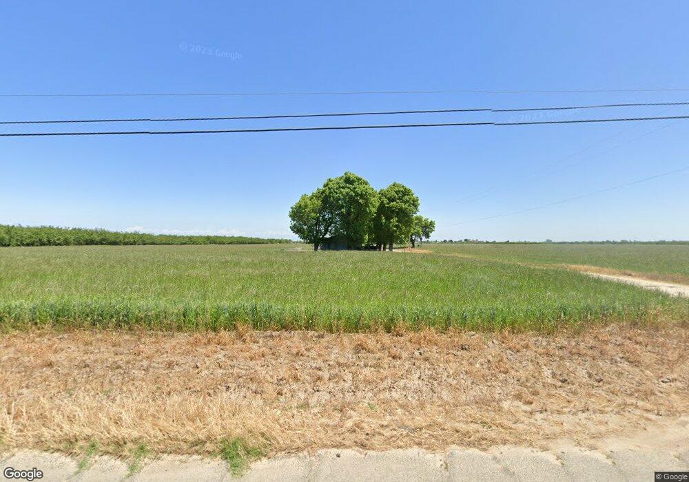
2030 S Tegner Rd Turlock, CA 95380
Estimated Value: $489,000 - $863,062
4
Beds
2
Baths
2,012
Sq Ft
$344/Sq Ft
Est. Value
About This Home
This home is located at 2030 S Tegner Rd, Turlock, CA 95380 and is currently estimated at $691,516, approximately $343 per square foot. 2030 S Tegner Rd is a home located in Stanislaus County with nearby schools including Chatom Elementary School, Marvin A. Dutcher Middle School, and Turlock Junior High School.
Ownership History
Date
Name
Owned For
Owner Type
Purchase Details
Closed on
Feb 2, 2015
Sold by
Toste John P and Toste Jeanette M
Bought by
2010 Toste Family Trust
Current Estimated Value
Purchase Details
Closed on
Aug 10, 2010
Sold by
Toste John P and Toste Jeanette M
Bought by
Toste Dairy Llc
Purchase Details
Closed on
May 26, 2003
Sold by
Umsted Leon R and Umsted Marjorie J
Bought by
Toste John P and Toste Jeanette M
Purchase Details
Closed on
Jun 8, 1999
Sold by
Umsted Rex J
Bought by
Umsted Leon R and Umsted Marjorie J
Create a Home Valuation Report for This Property
The Home Valuation Report is an in-depth analysis detailing your home's value as well as a comparison with similar homes in the area
Purchase History
| Date | Buyer | Sale Price | Title Company |
|---|---|---|---|
| 2010 Toste Family Trust | -- | None Available | |
| Toste John P | -- | None Available | |
| Toste Dairy Llc | -- | None Available | |
| Toste John P | $325,000 | North American Title Ins Co | |
| Umsted Leon R | -- | -- |
Source: Public Records
Tax History
| Year | Tax Paid | Tax Assessment Tax Assessment Total Assessment is a certain percentage of the fair market value that is determined by local assessors to be the total taxable value of land and additions on the property. | Land | Improvement |
|---|---|---|---|---|
| 2025 | $4,202 | $381,615 | $231,000 | $150,615 |
| 2024 | $4,170 | $381,030 | $233,368 | $147,662 |
| 2023 | $4,209 | $377,253 | $232,486 | $144,767 |
| 2022 | $4,157 | $370,553 | $228,624 | $141,929 |
| 2021 | $4,062 | $360,198 | $221,051 | $139,147 |
| 2020 | $3,976 | $353,118 | $215,397 | $137,721 |
| 2019 | $3,892 | $343,639 | $208,618 | $135,021 |
| 2018 | $3,748 | $322,863 | $190,489 | $132,374 |
| 2017 | $3,434 | $298,650 | $187,650 | $111,000 |
| 2016 | $3,293 | $290,515 | $187,515 | $103,000 |
| 2015 | $2,707 | $234,595 | $144,595 | $90,000 |
| 2014 | $2,486 | $214,270 | $113,770 | $100,500 |
Source: Public Records
Map
Nearby Homes
- 3601 W Simmons Rd
- 4207 W Linwood Ave
- 607 S Tegner Rd
- 1736 S Washington Rd
- 3918 S Kilroy Rd
- 2625 W Main St
- 3131 W Main St
- 306 Fransil Ln
- 2175 W Main St
- 4519 Idaho Rd
- 1065 Vermont Ave
- 531 Justin Dr
- 541 Justin Dr
- 808 West Ave S
- 200 N Tully Rd
- 628 Williams Ave
- 1330 Dianne Dr
- 250 Davis St
- 500 N Tully Rd Unit 39
- 500 N Tully Rd
- 2119 S Tegner Rd
- 1836 S Tegner Rd
- 1925 S Tegner Rd
- 2237 S Tegner Rd
- 2419 S Tegner Rd
- 1631 S Tegner Rd
- 1631 S Tegner Rd
- 2406 S Tegner Rd
- 1518 S Tegner Rd
- 3101 W Linwood Ave
- 2619 S Tegner Rd
- 3013 W Linwood Ave
- 2837 W Linwood Ave
- 3500 W Linwood Ave
- 3606 W Simmons Rd
- 3518 W Linwood Ave
- 2719 W Linwood Ave
- 1425 S Tegner Rd
- 1424 S Tegner Rd
- 3626 W Linwood Ave
Your Personal Tour Guide
Ask me questions while you tour the home.