2030 Speir St Savannah, GA 31406
Magnolia Park-Blueberry Hill NeighborhoodEstimated Value: $351,390 - $402,000
3
Beds
2
Baths
1,894
Sq Ft
$201/Sq Ft
Est. Value
About This Home
This home is located at 2030 Speir St, Savannah, GA 31406 and is currently estimated at $380,348, approximately $200 per square foot. 2030 Speir St is a home located in Chatham County with nearby schools including Myers Middle School, Jenkins High School, and Hancock Day School.
Ownership History
Date
Name
Owned For
Owner Type
Purchase Details
Closed on
Mar 12, 2018
Sold by
Scalisi V Christopher V
Bought by
Scalisi Christopher V and Butts Cynthia Ann
Current Estimated Value
Purchase Details
Closed on
Sep 3, 2010
Sold by
Scalisi Jodie
Bought by
Scalisi Christopher V
Home Financials for this Owner
Home Financials are based on the most recent Mortgage that was taken out on this home.
Original Mortgage
$116,000
Interest Rate
4.52%
Mortgage Type
New Conventional
Create a Home Valuation Report for This Property
The Home Valuation Report is an in-depth analysis detailing your home's value as well as a comparison with similar homes in the area
Home Values in the Area
Average Home Value in this Area
Purchase History
| Date | Buyer | Sale Price | Title Company |
|---|---|---|---|
| Scalisi Christopher V | -- | -- | |
| Scalisi Christopher V | $170,000 | -- |
Source: Public Records
Mortgage History
| Date | Status | Borrower | Loan Amount |
|---|---|---|---|
| Previous Owner | Scalisi Christopher V | $116,000 |
Source: Public Records
Tax History Compared to Growth
Tax History
| Year | Tax Paid | Tax Assessment Tax Assessment Total Assessment is a certain percentage of the fair market value that is determined by local assessors to be the total taxable value of land and additions on the property. | Land | Improvement |
|---|---|---|---|---|
| 2025 | $491 | $116,800 | $26,000 | $90,800 |
| 2024 | $491 | $98,440 | $24,000 | $74,440 |
| 2023 | $494 | $88,920 | $17,400 | $71,520 |
| 2022 | $670 | $81,840 | $17,400 | $64,440 |
| 2021 | $264 | $64,080 | $13,400 | $50,680 |
| 2020 | $269 | $68,360 | $13,400 | $54,960 |
| 2019 | $1,480 | $68,360 | $13,400 | $54,960 |
| 2018 | $2,313 | $60,280 | $13,400 | $46,880 |
| 2017 | $1,601 | $59,640 | $13,400 | $46,240 |
| 2016 | $1,008 | $57,160 | $11,520 | $45,640 |
| 2015 | $2,068 | $58,440 | $11,520 | $46,920 |
| 2014 | $2,027 | $59,440 | $0 | $0 |
Source: Public Records
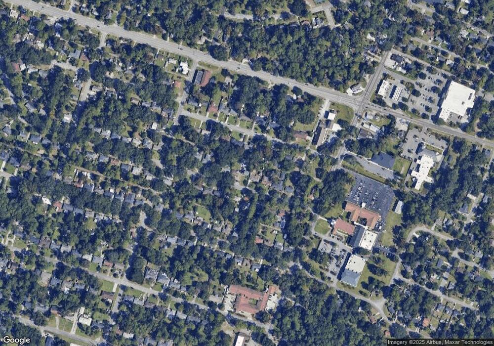
Map
Nearby Homes
- 2006 Cokesbury Dr
- 1940 Speir St
- 1844 Cokesbury Dr
- 2114 Teresa Dr
- 5415 Barry St
- 5435 Speir St
- 6 Redland Dr
- 2229 Walz Dr
- 2221 Walz Dr
- 2332 Walz Dr
- 5544 Emory Dr
- 2327 Toussaint Ave
- 5022 Greenway Ln
- 2113 Glynnwood Dr
- 113 Walz Cir
- 128 Walz Cir
- 2207 Mason Dr
- 5626 Lafitte Dr
- 4903 La Roche Ave
- 2237 Mason Dr
- 2026 Speir St
- 2036 Speir St
- 2022 Speir St
- 2042 Speir St
- 2019 Cokesbury Dr
- 2033 Speir St
- 2029 Speir St
- 2021 Cokesbury Dr
- 2037 Speir St
- 2017 Cokesbury Dr
- 2044 Speir St
- 2025 Speir St
- 2043 Speir St
- 2023 Cokesbury Dr
- 2015 Cokesbury Dr
- 0 Speir St Unit 7545980
- 0 Speir St Unit 7010717
- 2014 Speir St
- 2021 Speir St
- 2013 Cokesbury Dr