2030 W Highway 27 Lincolnton, NC 28092
Estimated Value: $338,000 - $608,050
3
Beds
2
Baths
1,769
Sq Ft
$244/Sq Ft
Est. Value
About This Home
This home is located at 2030 W Highway 27, Lincolnton, NC 28092 and is currently estimated at $431,013, approximately $243 per square foot. 2030 W Highway 27 is a home located in Lincoln County with nearby schools including Norris S. Childers Elementary School, West Lincoln Middle, and West Lincoln High School.
Ownership History
Date
Name
Owned For
Owner Type
Purchase Details
Closed on
Oct 1, 2020
Sold by
Hartsoe Jerry K and Hartsoe Robin R
Bought by
Hartsoe Jerry K and Hartsoe Robin R
Current Estimated Value
Purchase Details
Closed on
Sep 2, 2005
Sold by
Hendricks Lena Mae
Bought by
Perryman Barry R and Perryman Barbara H
Create a Home Valuation Report for This Property
The Home Valuation Report is an in-depth analysis detailing your home's value as well as a comparison with similar homes in the area
Home Values in the Area
Average Home Value in this Area
Purchase History
| Date | Buyer | Sale Price | Title Company |
|---|---|---|---|
| Hartsoe Jerry K | -- | None Available | |
| Perryman Barry R | -- | None Available |
Source: Public Records
Tax History Compared to Growth
Tax History
| Year | Tax Paid | Tax Assessment Tax Assessment Total Assessment is a certain percentage of the fair market value that is determined by local assessors to be the total taxable value of land and additions on the property. | Land | Improvement |
|---|---|---|---|---|
| 2025 | $3,058 | $459,859 | $186,197 | $273,662 |
| 2024 | $3,038 | $459,859 | $186,197 | $273,662 |
| 2023 | $3,033 | $459,859 | $186,197 | $273,662 |
| 2022 | $2,370 | $298,820 | $145,894 | $152,926 |
| 2021 | $2,370 | $298,820 | $145,894 | $152,926 |
| 2020 | $2,198 | $152,926 | $0 | $152,926 |
| 2019 | $2,198 | $299,257 | $146,331 | $152,926 |
| 2018 | $1,766 | $226,995 | $113,803 | $113,192 |
| 2017 | $1,665 | $226,995 | $113,803 | $113,192 |
| 2016 | $1,665 | $226,995 | $113,803 | $113,192 |
| 2015 | $1,713 | $226,995 | $113,803 | $113,192 |
| 2014 | $1,815 | $246,378 | $124,178 | $122,200 |
Source: Public Records
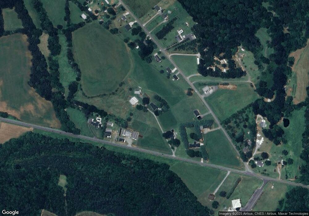
Map
Nearby Homes
- 146 Gallup Ln
- 2508 Rock Dam Rd
- 00 Pleasant Grove Church Rd
- 1865 Rockdam Creek Ct
- 00 George Brown Rd Unit 10
- 00 George Brown Rd Unit 9
- 00 George Brown Rd Unit 8
- 00 George Brown Rd Unit 7
- 00 George Brown Rd Unit 6
- 00 George Brown Rd Unit 5
- 00 George Brown Rd Unit 4
- 00 George Brown Rd Unit 3
- 00 George Brown Rd Unit 2
- 217 Blossom Hill Rd
- 000 Blossom Hill Rd Unit 138
- 963 Sunbeam Dr
- 0 Hillard Ln
- 2383 N Carolina 182
- 938 Lyndsey Brook Ct
- 1259 Haywood Ct
- 2026 W Highway 27
- 2241 Rock Dam Rd
- 2251 Rock Dam Rd
- 2199 Rock Dam Rd
- 2271 Rock Dam Rd
- Park Rock Dam Rd
- 2012 W Highway 27
- 2287 Rock Dam Rd
- 2114 N Carolina 27
- 2114 W Highway 27
- 2268 Rock Dam Rd
- 2311 Rock Dam Rd
- 2162 Rock Dam Rd
- 2294 Rock Dam Rd
- 2325 Rock Dam Rd
- 2302 Rock Dam Rd
- 2136 Rock Dam Rd
- 2333 Rock Dam Rd
- 224 Gallup Ln
- Lot 3 Rock Dam Rd