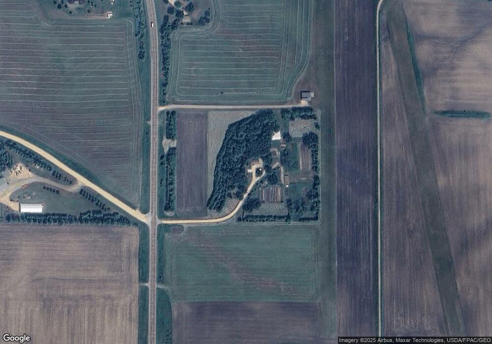
20301 State Highway 83 Mankato, MN 56001
Estimated Value: $406,000 - $602,000
4
Beds
4
Baths
2,372
Sq Ft
$195/Sq Ft
Est. Value
About This Home
This home is located at 20301 State Highway 83, Mankato, MN 56001 and is currently estimated at $462,416, approximately $194 per square foot. 20301 State Highway 83 is a home located in Blue Earth County with nearby schools including St. Clair Elementary School and St. Clair Secondary School.
Ownership History
Date
Name
Owned For
Owner Type
Purchase Details
Closed on
Apr 11, 2025
Sold by
Tacheny Thomas S and Tacheny Jolee G
Bought by
Tacheny Thomas S and Tacheny Jolee G
Current Estimated Value
Create a Home Valuation Report for This Property
The Home Valuation Report is an in-depth analysis detailing your home's value as well as a comparison with similar homes in the area
Home Values in the Area
Average Home Value in this Area
Purchase History
| Date | Buyer | Sale Price | Title Company |
|---|---|---|---|
| Tacheny Thomas S | $500 | None Listed On Document |
Source: Public Records
Tax History Compared to Growth
Tax History
| Year | Tax Paid | Tax Assessment Tax Assessment Total Assessment is a certain percentage of the fair market value that is determined by local assessors to be the total taxable value of land and additions on the property. | Land | Improvement |
|---|---|---|---|---|
| 2025 | $3,680 | $347,100 | $80,300 | $266,800 |
| 2024 | $3,388 | $364,700 | $80,300 | $284,400 |
| 2023 | $3,514 | $337,500 | $80,300 | $257,200 |
| 2022 | $3,160 | $317,700 | $80,300 | $237,400 |
| 2021 | $2,272 | $255,200 | $80,300 | $174,900 |
| 2020 | $2,152 | $212,200 | $64,500 | $147,700 |
| 2019 | $1,974 | $212,200 | $64,500 | $147,700 |
| 2018 | $1,808 | $193,600 | $64,500 | $129,100 |
| 2017 | $1,692 | $186,800 | $64,500 | $122,300 |
| 2016 | $1,716 | $173,200 | $64,500 | $108,700 |
| 2015 | $16 | $171,300 | $53,800 | $117,500 |
| 2014 | $2,020 | $171,400 | $53,800 | $117,600 |
Source: Public Records
Map
Nearby Homes
- XXX 602nd Ave
- 602nd Avenue
- 60451 211th St
- 0 Tbd Oak Dr
- 60639 211th St
- 205 Peregrine Ave
- 121 Hawk Ave
- 106 106 E Connie Ln Unit 106 Connie Lane E
- 105 105 Gray Fox Path
- 104 White Fox Path
- 100 White Fox Path
- 103 White Fox Path
- 102 White Fox Path
- 103 Gray Fox Path
- 102 Gray Fox Path
- 101 White Fox Path
- 101 Gray Fox Path
- 220 220 Connie Ln
- 101 Hawk Ave
- 309 Falcon Run
- 20337 State Highway 83
- 60063 203rd St
- 20111 603rd Ln
- 20343 State Highway 83
- 60310 200th Ln
- 20350 State Highway 83
- 20020 State Highway 83
- 20265 603rd Ln
- 20375 State Highway 83
- 60042 203rd St
- 19978 Minnesota 83
- 19985 Minnesota 83
- 60418 200th Ln
- 59999 203rd St
- 20448 State Highway 83
- 20448 State Highway 83 Unit St Hwy 83
- 20448 State Highway 83
- 59994 203rd St
- 19978 State Highway 83
- 19935 State Highway 83