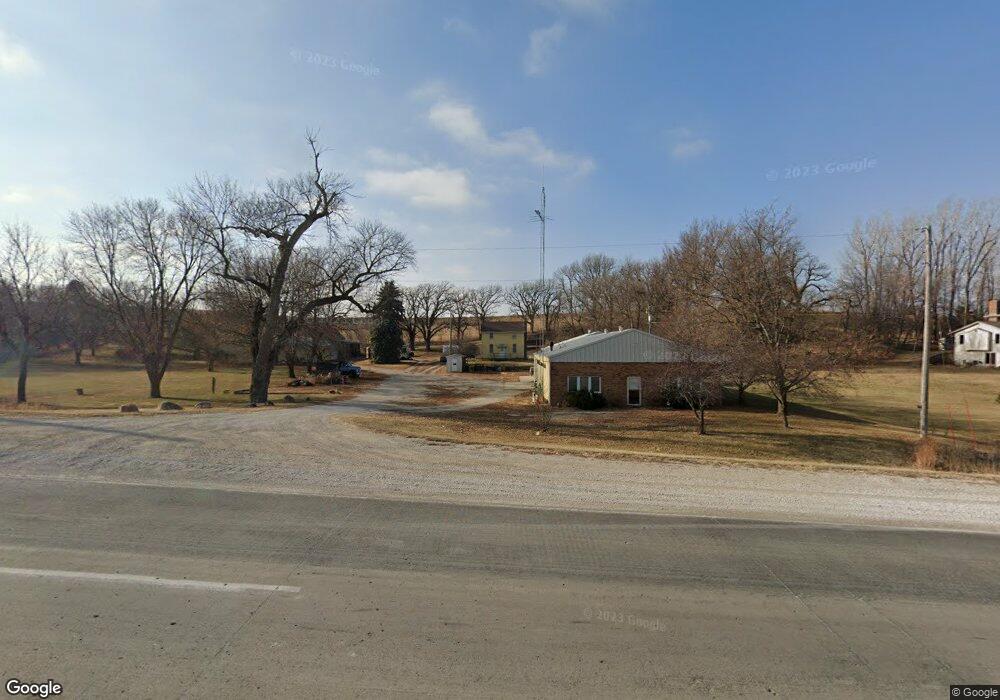
20305 Highway 71 Carroll, IA 51401
Estimated Value: $155,000 - $201,000
4
Beds
1
Bath
1,148
Sq Ft
$147/Sq Ft
Est. Value
About This Home
This home is located at 20305 Highway 71, Carroll, IA 51401 and is currently estimated at $168,580, approximately $146 per square foot. 20305 Highway 71 is a home with nearby schools including Fairview Elementary School, Adams Elementary School, and Carroll Middle School.
Ownership History
Date
Name
Owned For
Owner Type
Purchase Details
Closed on
Aug 25, 2025
Sold by
Warnke Randean A and Warnke Vickie L
Bought by
D/R Enterprises Llc
Current Estimated Value
Home Financials for this Owner
Home Financials are based on the most recent Mortgage that was taken out on this home.
Original Mortgage
$420,000
Outstanding Balance
$419,166
Interest Rate
6.72%
Mortgage Type
Credit Line Revolving
Estimated Equity
-$250,586
Purchase Details
Closed on
Dec 1, 2021
Sold by
Warnke Construction Co Inc
Bought by
Warnke Victor J and Warnke Randean A
Create a Home Valuation Report for This Property
The Home Valuation Report is an in-depth analysis detailing your home's value as well as a comparison with similar homes in the area
Home Values in the Area
Average Home Value in this Area
Purchase History
| Date | Buyer | Sale Price | Title Company |
|---|---|---|---|
| D/R Enterprises Llc | $470,000 | None Listed On Document | |
| Warnke Victor J | -- | None Listed On Document |
Source: Public Records
Mortgage History
| Date | Status | Borrower | Loan Amount |
|---|---|---|---|
| Open | D/R Enterprises Llc | $420,000 |
Source: Public Records
Tax History Compared to Growth
Tax History
| Year | Tax Paid | Tax Assessment Tax Assessment Total Assessment is a certain percentage of the fair market value that is determined by local assessors to be the total taxable value of land and additions on the property. | Land | Improvement |
|---|---|---|---|---|
| 2025 | $898 | $109,400 | $49,140 | $60,260 |
| 2024 | $882 | $99,920 | $48,200 | $51,720 |
| 2023 | $985 | $99,920 | $48,200 | $51,720 |
| 2022 | $914 | $92,990 | $48,200 | $44,790 |
| 2021 | $914 | $92,990 | $48,200 | $44,790 |
| 2020 | $721 | $69,070 | $26,030 | $43,040 |
| 2019 | $798 | $69,070 | $26,030 | $43,040 |
| 2018 | $734 | $69,070 | $26,030 | $43,040 |
| 2017 | $728 | $74,429 | $23,572 | $50,857 |
| 2016 | $674 | $69,560 | $0 | $0 |
| 2015 | $674 | $69,660 | $0 | $0 |
| 2014 | $662 | $69,660 | $0 | $0 |
Source: Public Records
Map
Nearby Homes
- 619 W 2nd St
- 407 Westridge Dr
- 121 S West St
- 308 Prairie View Dr
- 629 Meadow Ln
- 120 E 1st St Unit 2
- 0 Deer Creek Ln Unit 6302348
- 19383 U S 30
- 409 E Valley Dr
- 727 N Adams St
- 0 E 10th St Unit 5423085
- 0 E 10th St Unit 6324630
- 0 E 10th St Unit 6319081
- 907 Salinger Ave
- 519 E 1st St
- 807 N Court St
- 804 N Clark St
- 1015 N Adams St
- 1306 Simon Ave
- 926 N Court St
- 20303 U S Highway 71
- 20249 Hwy 71
- 20231 Highway 71
- 227 S Us Highway 71
- 202 S Us Highway 71
- 502 W Bluff St
- 119 S Whitney St
- 122 N Crawford St
- 109 S Whitney St
- 118 N Crawford St
- 519 W Anthony St
- 422 W Bluff St
- 519 W 1st St
- 418 W Bluff St
- 110 S Crawford St
- 517 W Anthony St
- 103 N Whitney St
- 511 W Anthony St
- 509 W Anthony St
- 622 Southgate Rd