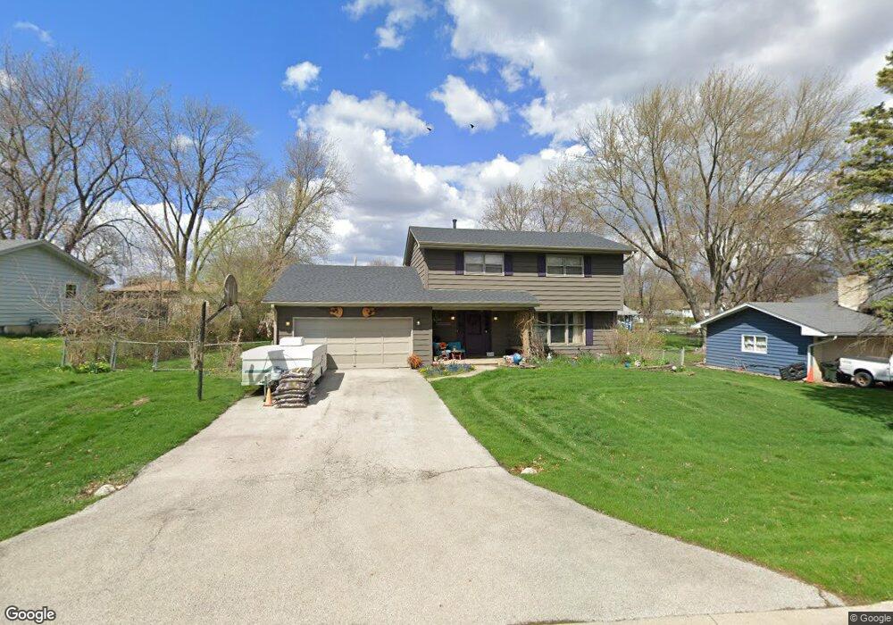
2031 Bryn Mawr Dr Unit 12 Aurora, IL 60506
Pine Knoll NeighborhoodEstimated Value: $359,000 - $402,000
4
Beds
4
Baths
2,080
Sq Ft
$180/Sq Ft
Est. Value
About This Home
This home is located at 2031 Bryn Mawr Dr Unit 12, Aurora, IL 60506 and is currently estimated at $373,640, approximately $179 per square foot. 2031 Bryn Mawr Dr Unit 12 is a home located in Kane County with nearby schools including Freeman Elementary School, Washington Middle School, and West Aurora High School.
Ownership History
Date
Name
Owned For
Owner Type
Purchase Details
Closed on
Mar 8, 1995
Sold by
Ruth Richard A and Ruth Jane M
Bought by
Schultz John E and Schultz Sherry W
Current Estimated Value
Home Financials for this Owner
Home Financials are based on the most recent Mortgage that was taken out on this home.
Original Mortgage
$141,550
Interest Rate
9.13%
Create a Home Valuation Report for This Property
The Home Valuation Report is an in-depth analysis detailing your home's value as well as a comparison with similar homes in the area
Home Values in the Area
Average Home Value in this Area
Purchase History
| Date | Buyer | Sale Price | Title Company |
|---|---|---|---|
| Schultz John E | $149,000 | Law Title Ins Co Inc |
Source: Public Records
Mortgage History
| Date | Status | Borrower | Loan Amount |
|---|---|---|---|
| Closed | Schultz John E | $141,550 |
Source: Public Records
Tax History Compared to Growth
Tax History
| Year | Tax Paid | Tax Assessment Tax Assessment Total Assessment is a certain percentage of the fair market value that is determined by local assessors to be the total taxable value of land and additions on the property. | Land | Improvement |
|---|---|---|---|---|
| 2024 | $6,768 | $110,437 | $13,260 | $97,177 |
| 2023 | $6,481 | $98,675 | $11,848 | $86,827 |
| 2022 | $6,200 | $90,032 | $10,810 | $79,222 |
| 2021 | $5,916 | $83,821 | $10,064 | $73,757 |
| 2020 | $5,603 | $77,857 | $9,348 | $68,509 |
| 2019 | $5,417 | $72,136 | $8,661 | $63,475 |
| 2018 | $5,543 | $71,732 | $8,011 | $63,721 |
| 2017 | $5,335 | $67,314 | $7,381 | $59,933 |
| 2016 | $5,265 | $64,363 | $6,327 | $58,036 |
| 2015 | -- | $65,641 | $5,441 | $60,200 |
| 2014 | -- | $61,477 | $5,233 | $56,244 |
| 2013 | -- | $60,601 | $5,158 | $55,443 |
Source: Public Records
Map
Nearby Homes
- 2021 Radcliffe Dr
- 977 Lindenwood Dr
- 1243 Jericho Rd
- 892 Audubon Ln Unit 1
- 430 Cottrell Ln
- 422 Cottrell Ln
- 408 Cottrell Ln
- 399 S Constitution Dr
- 1 Highway 30
- 888 Summerhill Dr Unit 2
- Rutherford Plan at Prairie Meadows
- Napa Plan at Prairie Meadows
- Sonoma Plan at Prairie Meadows
- Siena Plan at Prairie Meadows
- 2451 Roseglen Way
- 2242 Brentwood Ave
- 381 S Constitution Dr
- 369 S Constitution Dr
- 381 Constitution Dr
- 375 Constitution Dr
- 2041 Bryn Mawr Dr
- 2021 Bryn Mawr Dr
- 2030 Radcliffe Dr
- 2020 Radcliffe Dr
- 2040 Radcliffe Dr Unit 9
- 2051 Bryn Mawr Dr Unit 10
- 2030 Bryn Mawr Dr
- 2011 Bryn Mawr Dr
- 2040 Bryn Mawr Dr
- 2020 Bryn Mawr Dr
- 1145 Lindenwood Dr
- 2050 Bryn Mawr Dr
- 2050 Radcliffe Dr Unit 8
- 2061 Bryn Mawr Dr Unit 10
- 1211 Lindenwood Dr Unit 12
- 1221 Lindenwood Dr
- 2060 Bryn Mawr Dr
- 2031 Radcliffe Dr
- 2041 Radcliffe Dr
- 2068 Radcliffe Dr Unit 8