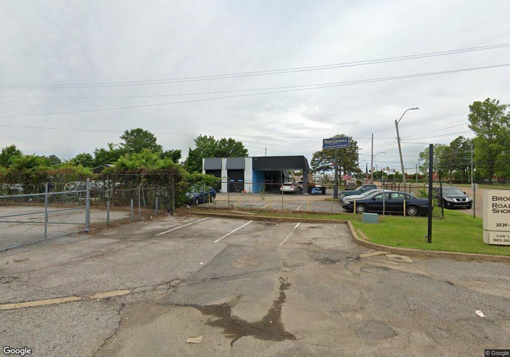
2031 E Brooks Rd Memphis, TN 38116
Whitehaven NeighborhoodEstimated Value: $274,177
Studio
--
Bath
1,031
Sq Ft
$266/Sq Ft
Est. Value
About This Home
This home is located at 2031 E Brooks Rd, Memphis, TN 38116 and is currently estimated at $274,177, approximately $265 per square foot. 2031 E Brooks Rd is a home located in Shelby County with nearby schools including Winchester Elementary School, A. Maceo Walker Middle School, and Southern Avenue Charter School of Academic Excellence Creat.
Ownership History
Date
Name
Owned For
Owner Type
Purchase Details
Closed on
Nov 2, 2009
Sold by
H/Retail Llc
Bought by
Skefos Harry J
Current Estimated Value
Purchase Details
Closed on
Sep 24, 2009
Sold by
H/Brooks Shops Llc
Bought by
Skefos Harry J
Purchase Details
Closed on
Jul 11, 2007
Sold by
Skefos Harry J
Bought by
H/Retail Llc
Purchase Details
Closed on
Sep 8, 1999
Sold by
Century Investments Inc
Bought by
Skefos Harry J
Create a Home Valuation Report for This Property
The Home Valuation Report is an in-depth analysis detailing your home's value as well as a comparison with similar homes in the area
Home Values in the Area
Average Home Value in this Area
Purchase History
| Date | Buyer | Sale Price | Title Company |
|---|---|---|---|
| Skefos Harry J | -- | None Available | |
| Skefos Harry J | -- | None Available | |
| H/Retail Llc | -- | None Available | |
| H/Brooks Shops Llc | -- | None Available | |
| Skefos Harry J | $120,000 | -- | |
| Skefos Harry J | $120,000 | -- |
Source: Public Records
Tax History
| Year | Tax Paid | Tax Assessment Tax Assessment Total Assessment is a certain percentage of the fair market value that is determined by local assessors to be the total taxable value of land and additions on the property. | Land | Improvement |
|---|---|---|---|---|
| 2025 | $1,448 | $81,360 | $63,880 | $17,480 |
| 2024 | $1,448 | $42,720 | $30,640 | $12,080 |
| 2023 | $2,602 | $42,720 | $30,640 | $12,080 |
| 2022 | $1,448 | $42,720 | $30,640 | $12,080 |
| 2021 | $1,474 | $42,720 | $30,640 | $12,080 |
| 2020 | $3,081 | $42,520 | $30,640 | $11,880 |
| 2019 | $3,081 | $42,520 | $30,640 | $11,880 |
| 2018 | $3,081 | $42,520 | $30,640 | $11,880 |
| 2017 | $1,748 | $42,520 | $30,640 | $11,880 |
| 2016 | $1,846 | $42,240 | $0 | $0 |
Source: Public Records
Map
Nearby Homes
- 2015 E Brooks Rd
- 3643 W Big Bend Dr
- 2944 Millbranch Rd
- 3687 Windcrest Rd
- 3612 Hazelhedge Dr
- 3843 Blue Jay Rd
- 3539 Acacia St
- 1540 Clementine Rd
- 1932 E Alcy Rd
- 2525 Rozelle St
- 3595 Huckleberry St
- 2416 Verdun St
- 3629 Huckleberry St
- 3639 Huckleberry St
- 1435 Blueberry Dr
- 0 Bridgeport Dr Unit 10214295
- 2196 Ketchum Rd
- 2601 Darlene St
- 0 W Hollyford Rd
- 2428 Rozelle St
- 3254 Winbrook Dr
- 2018 E Brooks Rd
- 3301 Winbrook Dr
- 3121 Directors Row
- 3349 Winbrook Dr
- 3071 Directors Row
- 1942 Lynnbrook Place
- 1938 Lynnbrook Place
- 3385 Airways Blvd
- 2080 Winchester Rd
- 1943 Lynnbrook Place
- 1910 Lynnbrook Place
- 1937 Lynnbrook Place
- 1900 Lynnbrook Place
- 3388 Cazassa Rd
- 1891 Lynnbrook Place
- 3471 W Briarpark Dr
- 3471 W Briarpark Dr
- 1964 Winchester Rd
- 2949 Airways Blvd
Your Personal Tour Guide
Ask me questions while you tour the home.