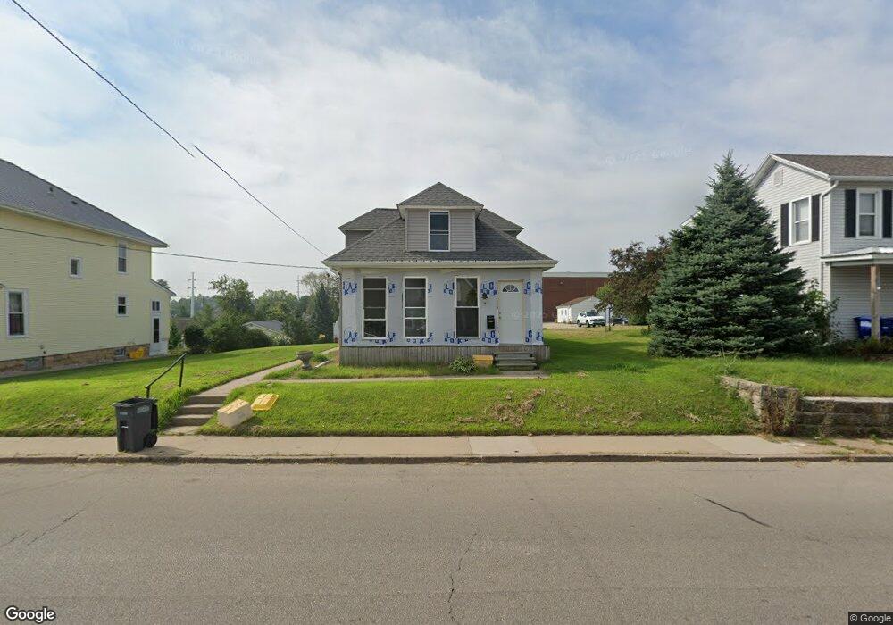
2032 Clarke Dr Dubuque, IA 52001
Estimated Value: $176,000 - $249,765
5
Beds
3
Baths
1,813
Sq Ft
$119/Sq Ft
Est. Value
About This Home
This home is located at 2032 Clarke Dr, Dubuque, IA 52001 and is currently estimated at $216,191, approximately $119 per square foot. 2032 Clarke Dr is a home located in Dubuque County with nearby schools including Irving Elementary School, George Washington Middle School, and Dubuque Senior High School.
Ownership History
Date
Name
Owned For
Owner Type
Purchase Details
Closed on
Jul 22, 2008
Sold by
Fuller Louis E
Bought by
Meisenburg Robert J
Current Estimated Value
Home Financials for this Owner
Home Financials are based on the most recent Mortgage that was taken out on this home.
Original Mortgage
$93,532
Outstanding Balance
$61,221
Interest Rate
6.36%
Mortgage Type
FHA
Estimated Equity
$154,970
Create a Home Valuation Report for This Property
The Home Valuation Report is an in-depth analysis detailing your home's value as well as a comparison with similar homes in the area
Home Values in the Area
Average Home Value in this Area
Purchase History
| Date | Buyer | Sale Price | Title Company |
|---|---|---|---|
| Meisenburg Robert J | $95,000 | None Available |
Source: Public Records
Mortgage History
| Date | Status | Borrower | Loan Amount |
|---|---|---|---|
| Open | Meisenburg Robert J | $93,532 |
Source: Public Records
Tax History Compared to Growth
Tax History
| Year | Tax Paid | Tax Assessment Tax Assessment Total Assessment is a certain percentage of the fair market value that is determined by local assessors to be the total taxable value of land and additions on the property. | Land | Improvement |
|---|---|---|---|---|
| 2025 | $2,752 | $219,100 | $38,900 | $180,200 |
| 2024 | $2,752 | $201,600 | $35,300 | $166,300 |
| 2023 | $2,668 | $201,600 | $35,300 | $166,300 |
| 2022 | $2,422 | $155,390 | $33,580 | $121,810 |
| 2021 | $2,422 | $155,390 | $33,580 | $121,810 |
| 2020 | $2,362 | $141,610 | $31,810 | $109,800 |
| 2019 | $2,346 | $141,610 | $31,810 | $109,800 |
| 2018 | $2,308 | $134,730 | $31,810 | $102,920 |
| 2017 | $2,158 | $134,730 | $31,810 | $102,920 |
| 2016 | $2,110 | $120,290 | $31,810 | $88,480 |
| 2015 | $2,110 | $120,290 | $31,810 | $88,480 |
| 2014 | $1,996 | $117,130 | $31,810 | $85,320 |
Source: Public Records
Map
Nearby Homes
- 1949 Saint Ambrose St
- 1896 Floraview Dr
- 1821 Glendale Ct
- 1865 Wood St
- 1735 Wood St
- 1455 Adair St
- 1425 Adair St
- 2095 Mullin Rd
- 1445 Wood St
- 1390 Loras Blvd
- 1495 Glen Oak St
- 1730 Chaney Rd
- 1568 Fairfax Ave
- 2625 New Haven St
- 1650 Drexel Ave
- 1395 Brown Ave
- 2341 Cir
- 2347 Coventry Park Unit C-011
- 1993 Hale St
- 0 Kaufmann Ave Unit 150494
- 2020 Clarke Dr
- 2044 Clarke Dr
- 1995 N Grandview Ave
- 2012 Clarke Dr
- 2015 Clarke Dr
- 2011 Clarke Dr
- 2033 Clarke Dr
- 1985 N Grandview Ave
- 2017 Clarke Dr
- 2175 Rosedale Ave
- 2045 Clarke Dr
- 2085 Rosedale Ave
- 2059 Clarke Dr
- 2095 Rosedale Ave
- 2005 Rosedale Ave
- 2071 Clarke Dr
- 2045 N Grandview Ave
- 2085 Clarke Dr
- 1985 Clarke Dr
- 2087 Clarke Dr