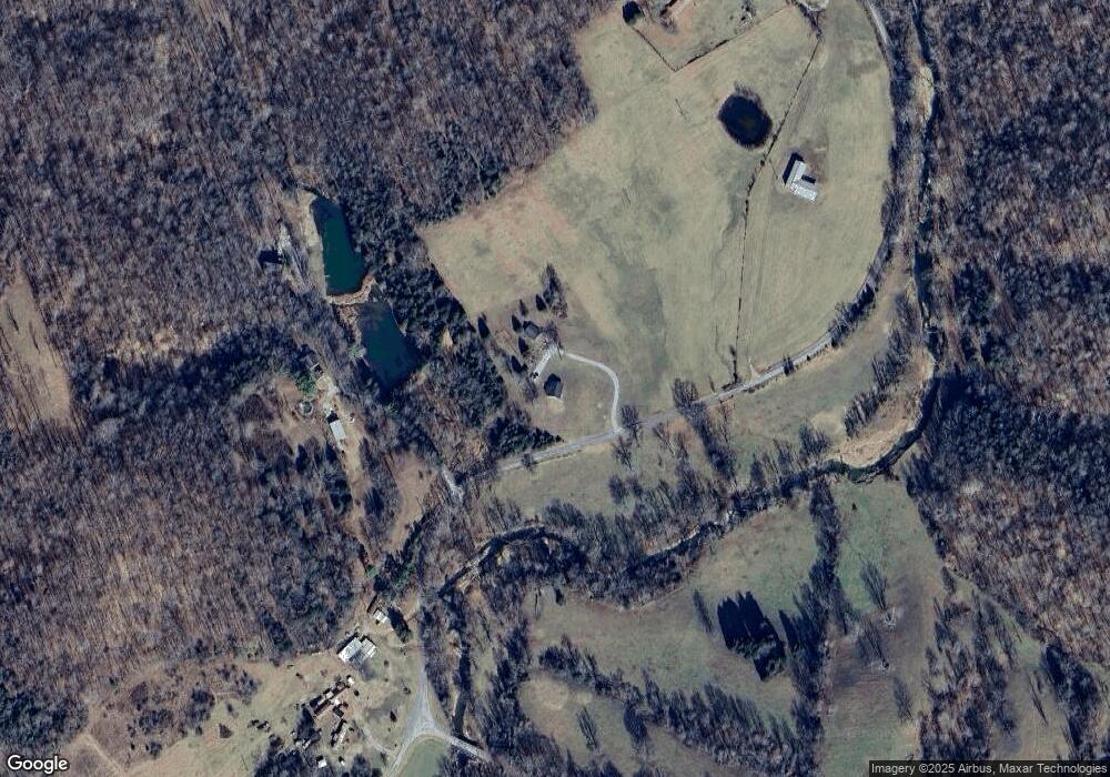
2032 Lewis Branch Rd Tennessee Ridge, TN 37178
Estimated Value: $221,539 - $300,000
--
Bed
2
Baths
1,326
Sq Ft
$207/Sq Ft
Est. Value
About This Home
This home is located at 2032 Lewis Branch Rd, Tennessee Ridge, TN 37178 and is currently estimated at $273,885, approximately $206 per square foot. 2032 Lewis Branch Rd is a home located in Houston County.
Ownership History
Date
Name
Owned For
Owner Type
Purchase Details
Closed on
Apr 28, 2022
Sold by
Jacqueline Henry
Bought by
Henry Michael
Current Estimated Value
Home Financials for this Owner
Home Financials are based on the most recent Mortgage that was taken out on this home.
Original Mortgage
$154,660
Outstanding Balance
$143,652
Interest Rate
3.25%
Mortgage Type
FHA
Estimated Equity
$130,233
Purchase Details
Closed on
May 25, 2010
Sold by
Brooks Amanda Lynn
Bought by
Henry Michael
Home Financials for this Owner
Home Financials are based on the most recent Mortgage that was taken out on this home.
Original Mortgage
$88,000
Interest Rate
5.03%
Mortgage Type
Cash
Purchase Details
Closed on
Dec 8, 2006
Bought by
Brooks Amanda Lynn
Create a Home Valuation Report for This Property
The Home Valuation Report is an in-depth analysis detailing your home's value as well as a comparison with similar homes in the area
Home Values in the Area
Average Home Value in this Area
Purchase History
| Date | Buyer | Sale Price | Title Company |
|---|---|---|---|
| Henry Michael | -- | Betters Law Firm Pllc | |
| Henry Michael | $110,000 | -- | |
| Brooks Amanda Lynn | $85,000 | -- |
Source: Public Records
Mortgage History
| Date | Status | Borrower | Loan Amount |
|---|---|---|---|
| Open | Henry Michael | $154,660 | |
| Previous Owner | Brooks Amanda Lynn | $88,000 |
Source: Public Records
Tax History Compared to Growth
Tax History
| Year | Tax Paid | Tax Assessment Tax Assessment Total Assessment is a certain percentage of the fair market value that is determined by local assessors to be the total taxable value of land and additions on the property. | Land | Improvement |
|---|---|---|---|---|
| 2024 | $876 | $49,200 | $3,350 | $45,850 |
| 2023 | $876 | $49,200 | $3,350 | $45,850 |
| 2022 | $778 | $27,800 | $2,300 | $25,500 |
| 2021 | $778 | $27,800 | $2,300 | $25,500 |
| 2020 | $837 | $27,800 | $2,300 | $25,500 |
| 2019 | $837 | $26,250 | $2,000 | $24,250 |
| 2018 | $837 | $26,250 | $2,000 | $24,250 |
| 2017 | $837 | $26,250 | $2,000 | $24,250 |
| 2016 | $837 | $26,250 | $2,000 | $24,250 |
| 2015 | $837 | $26,250 | $2,000 | $24,250 |
| 2014 | -- | $26,240 | $0 | $0 |
Source: Public Records
Map
Nearby Homes
- 0 Cooley Ford Rd Unit LotWP007 22557710
- 0 Cooley Ford Rd Unit RTC2974712
- 0 White Oak Rd Unit LotWP008 22557711
- 0 White Oak Rd Unit RTC2974711
- 0 White Oak Rd Unit RTC2974735
- 0 White Oak Rd Unit LotWP011 22557713
- 0 White Oak Rd Unit LotWP012 22557714
- 0 White Oak Rd Unit RTC2974718
- 0 White Oak Rd Unit LotWP010 22557712
- 0 White Oak Rd Unit RTC2974736
- 0 White Oak Rd Unit RTC2974724
- 110 Peachtree St
- 155 Rolling Hills Dr
- 0 Carl Taylor Rd
- 0 Taylor St Unit RTC2764409
- 0 Taylor St Unit RTC2764404
- 0 Taylor St Unit RTC2764411
- 0 Taylor St Unit RTC2764420
- 0 Taylor St Unit RTC2764418
- 0 Taylor St Unit RTC2764423
- 89 Love Lady Hollow Ln
- 171 Love Lady Hollow Ln
- 2340 Lewis Branch Rd
- 400 Brown Cemetery Ln
- 5595 Long Branch Rd
- 374 Brown Cemetery Ln
- 330 Cliff Ln
- 518 Montana Ln
- 1252 Lewis Branch Rd
- 0 Long Branch Rd
- 5330 Long Branch Rd
- 2960 Lewis Branch Rd
- 927 Lewis Branch Rd Unit 950
- 5032 Long Branch Rd
- 5030 Long Branch Rd
- 842 Lewis Branch Rd
