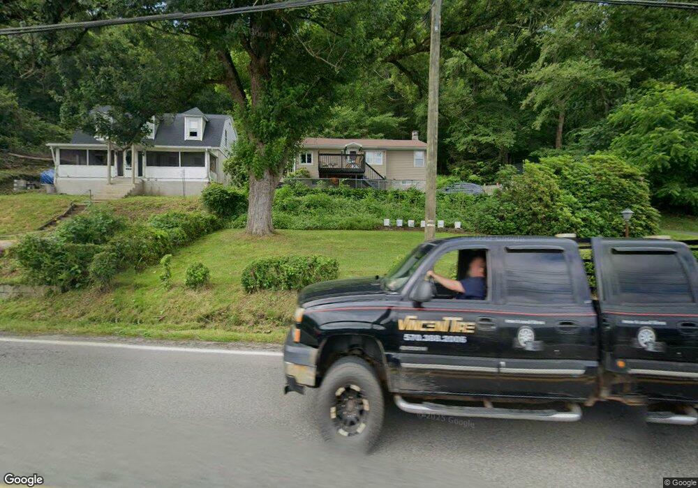
2032 State Route 92 Hwy Harding, PA 18643
Estimated Value: $138,354 - $224,000
3
Beds
1
Bath
1,000
Sq Ft
$176/Sq Ft
Est. Value
About This Home
This home is located at 2032 State Route 92 Hwy, Harding, PA 18643 and is currently estimated at $176,339, approximately $176 per square foot. 2032 State Route 92 Hwy is a home located in Luzerne County with nearby schools including Wyoming Area Secondary Center.
Ownership History
Date
Name
Owned For
Owner Type
Purchase Details
Closed on
Jun 21, 2013
Sold by
Kasmark Benjamin J and Kasmark Christine
Bought by
Swainbank Donald L and Strenfel Donna R
Current Estimated Value
Home Financials for this Owner
Home Financials are based on the most recent Mortgage that was taken out on this home.
Original Mortgage
$61,110
Outstanding Balance
$43,393
Interest Rate
3.45%
Mortgage Type
New Conventional
Estimated Equity
$132,946
Create a Home Valuation Report for This Property
The Home Valuation Report is an in-depth analysis detailing your home's value as well as a comparison with similar homes in the area
Home Values in the Area
Average Home Value in this Area
Purchase History
| Date | Buyer | Sale Price | Title Company |
|---|---|---|---|
| Swainbank Donald L | $63,000 | None Available |
Source: Public Records
Mortgage History
| Date | Status | Borrower | Loan Amount |
|---|---|---|---|
| Open | Swainbank Donald L | $61,110 |
Source: Public Records
Tax History Compared to Growth
Tax History
| Year | Tax Paid | Tax Assessment Tax Assessment Total Assessment is a certain percentage of the fair market value that is determined by local assessors to be the total taxable value of land and additions on the property. | Land | Improvement |
|---|---|---|---|---|
| 2025 | $2,002 | $69,000 | $25,000 | $44,000 |
| 2024 | $1,914 | $69,000 | $25,000 | $44,000 |
| 2023 | $1,786 | $69,000 | $25,000 | $44,000 |
| 2022 | $1,773 | $69,000 | $25,000 | $44,000 |
| 2021 | $1,748 | $69,000 | $25,000 | $44,000 |
| 2020 | $1,707 | $69,000 | $25,000 | $44,000 |
| 2019 | $1,658 | $69,000 | $25,000 | $44,000 |
| 2018 | $1,602 | $69,000 | $25,000 | $44,000 |
| 2017 | $1,566 | $69,000 | $25,000 | $44,000 |
| 2016 | -- | $69,000 | $25,000 | $44,000 |
| 2015 | -- | $69,000 | $25,000 | $44,000 |
| 2014 | -- | $69,000 | $25,000 | $44,000 |
Source: Public Records
Map
Nearby Homes
- 675 Apple Tree Rd
- 3018 Main St
- 3061 Main St
- 2356 Newton Ransom Blvd
- 2352 Newton Ransom Blvd
- 750 Slocum Ave
- 314 Terrace Ave
- 2694 Ransom Rd
- 2607 Ransom Rd
- 0 Spring & Red Oak Dr Unit GSBSC1753
- 41 Gashi Rd
- 278 Cider Run Rd
- 0 Lockville Rd Church Rd Unit 25-1114
- 633 Campground Rd
- 0 Wintermoot Island Unit 25-5891
- 212 Bennett St
- 846 Exeter Ave
- 827 Luzerne Ave
- 456 Village Rd
- 707 Exeter Ave
- 2032 Sullivan Trail
- 2032 Pennsylvania 92
- 2030 Pennsylvania 92
- 132 Rr 1
- 2040 State Route 92 Hwy
- 0 Sullivan Trail
- 2046 Pennsylvania 92
- 133 Rr 1
- 2050 State Route 92 Hwy
- 2014 State Route 92 Hwy
- 2052 State Route 92 Hwy
- 2056 State Route 92 Hwy
- 2058 State Route 92 Hwy
- 2060 State Route 92 Hwy
- 2064 State Route 92 Hwy
- 1994 State Route 92 Hwy
- 605 Apple Tree Rd
- 1984 State Route 92 Hwy
- 2092 State Route 92 Hwy
- 1976 State Route 92 Hwy