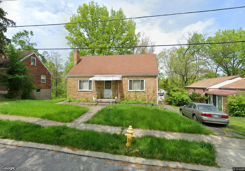
2032 Weron Ln Cincinnati, OH 45225
East Westwood NeighborhoodEstimated Value: $112,000 - $137,000
3
Beds
1
Bath
816
Sq Ft
$146/Sq Ft
Est. Value
About This Home
This home is located at 2032 Weron Ln, Cincinnati, OH 45225 and is currently estimated at $118,871, approximately $145 per square foot. 2032 Weron Ln is a home located in Hamilton County with nearby schools including Western Hills High School, Gilbert A. Dater High School, and Robert A. Taft Information Technology High School.
Ownership History
Date
Name
Owned For
Owner Type
Purchase Details
Closed on
Mar 26, 2011
Sold by
Warren John and Warren Susan Michele
Bought by
Dean Beverly
Current Estimated Value
Purchase Details
Closed on
Mar 9, 2011
Sold by
Warren Sheila
Bought by
Dean Beverly
Purchase Details
Closed on
Mar 7, 2011
Sold by
Warren Glenda
Bought by
Dean Beverly
Create a Home Valuation Report for This Property
The Home Valuation Report is an in-depth analysis detailing your home's value as well as a comparison with similar homes in the area
Home Values in the Area
Average Home Value in this Area
Purchase History
| Date | Buyer | Sale Price | Title Company |
|---|---|---|---|
| Dean Beverly | -- | Attorney | |
| Dean Beverly | -- | Attorney | |
| Dean Beverly | -- | Attorney |
Source: Public Records
Tax History Compared to Growth
Tax History
| Year | Tax Paid | Tax Assessment Tax Assessment Total Assessment is a certain percentage of the fair market value that is determined by local assessors to be the total taxable value of land and additions on the property. | Land | Improvement |
|---|---|---|---|---|
| 2024 | $1,193 | $19,579 | $1,400 | $18,179 |
| 2023 | $1,217 | $19,579 | $1,400 | $18,179 |
| 2022 | $816 | $11,344 | $921 | $10,423 |
| 2021 | $763 | $11,344 | $921 | $10,423 |
| 2020 | $781 | $11,344 | $921 | $10,423 |
| 2019 | $829 | $11,012 | $893 | $10,119 |
| 2018 | $830 | $11,012 | $893 | $10,119 |
| 2017 | $790 | $11,012 | $893 | $10,119 |
| 2016 | $958 | $13,266 | $1,474 | $11,792 |
| 2015 | $864 | $13,266 | $1,474 | $11,792 |
| 2014 | $870 | $13,266 | $1,474 | $11,792 |
| 2013 | $1,315 | $19,800 | $2,202 | $17,598 |
Source: Public Records
Map
Nearby Homes
- 2315 Iroll Ave
- 2355 Baltimore Ave
- 2352 Iroll Ave
- 1917 Webman Ct
- 3407 Ninann Ct
- 3384 Ninann Ct
- 3372 Ninann Ct
- 3733 Cass Ave
- 2784 Cass Ave
- 1792 Dreman Ave
- 3069 Moosewood Ave
- 3065 Moosewood Ave
- 256 Nottingham Rd
- 3069 Beekman St
- 1965 Baltimore Ave
- 3923 Cass Ave
- 3295 Fyffe Ave
- 3353 Saffer St
- 3836 Llewellyn Ave
- 3413 Fyffe Ave