Estimated Value: $385,650 - $452,000
3
Beds
3
Baths
1,632
Sq Ft
$260/Sq Ft
Est. Value
About This Home
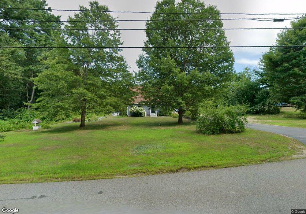
This home is located at 2032 White Pond Rd, Athol, MA 01331 and is currently estimated at $423,663, approximately $259 per square foot. 2032 White Pond Rd is a home located in Worcester County with nearby schools including Athol High School.
Ownership History
Date
Name
Owned For
Owner Type
Purchase Details
Closed on
Jan 28, 2005
Sold by
Stoddard Mark S and Stoddard Rebecca Joy
Bought by
Hume Jaime D and Hume Lorne K
Current Estimated Value
Home Financials for this Owner
Home Financials are based on the most recent Mortgage that was taken out on this home.
Original Mortgage
$100,000
Outstanding Balance
$50,561
Interest Rate
5.67%
Mortgage Type
Purchase Money Mortgage
Estimated Equity
$373,102
Create a Home Valuation Report for This Property
The Home Valuation Report is an in-depth analysis detailing your home's value as well as a comparison with similar homes in the area
Home Values in the Area
Average Home Value in this Area
Purchase History
| Date | Buyer | Sale Price | Title Company |
|---|---|---|---|
| Hume Jaime D | $175,000 | -- |
Source: Public Records
Mortgage History
| Date | Status | Borrower | Loan Amount |
|---|---|---|---|
| Open | Hume Jaime D | $100,000 |
Source: Public Records
Tax History Compared to Growth
Tax History
| Year | Tax Paid | Tax Assessment Tax Assessment Total Assessment is a certain percentage of the fair market value that is determined by local assessors to be the total taxable value of land and additions on the property. | Land | Improvement |
|---|---|---|---|---|
| 2025 | $4,204 | $330,800 | $72,300 | $258,500 |
| 2024 | $4,035 | $314,500 | $72,300 | $242,200 |
| 2023 | $3,855 | $274,600 | $52,300 | $222,300 |
| 2022 | $3,671 | $228,700 | $49,800 | $178,900 |
| 2021 | $3,641 | $206,200 | $45,200 | $161,000 |
| 2020 | $3,508 | $204,200 | $41,200 | $163,000 |
| 2019 | $2,764 | $191,300 | $38,700 | $152,600 |
| 2018 | $2,649 | $189,300 | $35,200 | $154,100 |
| 2017 | $3,427 | $168,000 | $35,200 | $132,800 |
| 2016 | $3,181 | $160,400 | $35,200 | $125,200 |
| 2015 | $3,052 | $160,400 | $35,200 | $125,200 |
| 2014 | $2,956 | $160,400 | $35,200 | $125,200 |
Source: Public Records
Map
Nearby Homes
- 120 Horton Rd
- 0 Riceville Rd Unit 73429842
- 0000 Gage Rd
- 11 Jeri Dr
- 53 Earl Dr
- 58 Earl Dr
- 0 S Main St
- Back Lot 0 Petersham Rd
- 245 Brookside Rd
- 610 S Main St
- 20 Marjorie St
- 25 Marjorie St
- 0 Brickyard Rd
- 2 Fay Rd
- 00 S Main St
- 000 S Main St
- 1 Batchelder Rd
- 321 Doe Valley Rd
- 288 Chase Rd
- 120 Arlington St
- 2064 White Pond Rd
- 1997 White Pond Rd
- 2106 White Pond Rd
- 2083 White Pond Rd
- 1946 White Pond Rd
- 2160 White Pond Rd
- 2165 White Pond Rd
- 1851 White Pond Rd
- 2201 White Pond Rd
- 2198 White Pond Rd
- 1751 White Pond Rd
- 1745 White Pond Rd
- 1819 White Pond Rd
- 2207 White Pond Rd
- 1808 White Pond Rd
- 1799 White Pond Rd
- 1753 White Pond Rd
- 1749 White Pond Rd
- 1794 White Pond Rd
- 1747 White Pond Rd