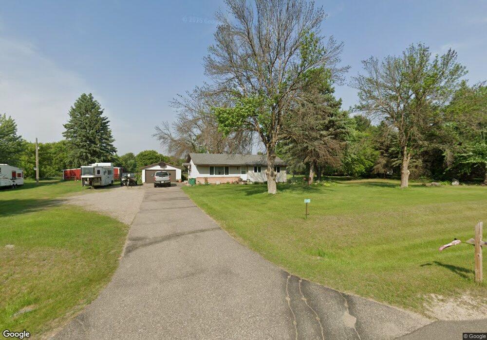
20320 Red Wing Blvd Hastings, MN 55033
Ravenna NeighborhoodEstimated Value: $357,000 - $441,816
5
Beds
2
Baths
2,090
Sq Ft
$193/Sq Ft
Est. Value
About This Home
This home is located at 20320 Red Wing Blvd, Hastings, MN 55033 and is currently estimated at $403,454, approximately $193 per square foot. 20320 Red Wing Blvd is a home located in Dakota County with nearby schools including Pinecrest Elementary School, Hastings Middle School, and Hastings High School.
Ownership History
Date
Name
Owned For
Owner Type
Purchase Details
Closed on
Apr 24, 2012
Sold by
Riddle Randy W and Riddle Debra J
Bought by
Lusk Rachel A
Current Estimated Value
Home Financials for this Owner
Home Financials are based on the most recent Mortgage that was taken out on this home.
Original Mortgage
$185,183
Outstanding Balance
$129,941
Interest Rate
4.25%
Mortgage Type
FHA
Estimated Equity
$273,513
Purchase Details
Closed on
Dec 5, 1996
Sold by
Mcalpine Mary R
Bought by
Riddle Randy W and Riddle Debra J
Create a Home Valuation Report for This Property
The Home Valuation Report is an in-depth analysis detailing your home's value as well as a comparison with similar homes in the area
Home Values in the Area
Average Home Value in this Area
Purchase History
| Date | Buyer | Sale Price | Title Company |
|---|---|---|---|
| Lusk Rachel A | $190,000 | Trademark Title Services | |
| Riddle Randy W | $155,000 | -- |
Source: Public Records
Mortgage History
| Date | Status | Borrower | Loan Amount |
|---|---|---|---|
| Open | Lusk Rachel A | $185,183 |
Source: Public Records
Tax History Compared to Growth
Tax History
| Year | Tax Paid | Tax Assessment Tax Assessment Total Assessment is a certain percentage of the fair market value that is determined by local assessors to be the total taxable value of land and additions on the property. | Land | Improvement |
|---|---|---|---|---|
| 2024 | $2,346 | $354,400 | $116,400 | $238,000 |
| 2023 | $2,346 | $336,400 | $112,000 | $224,400 |
| 2022 | $2,098 | $331,200 | $111,700 | $219,500 |
| 2021 | $2,346 | $284,100 | $97,200 | $186,900 |
| 2020 | $2,180 | $291,800 | $97,200 | $194,600 |
| 2019 | $2,173 | $264,800 | $92,500 | $172,300 |
| 2018 | $2,195 | $249,200 | $88,100 | $161,100 |
| 2017 | $2,089 | $242,200 | $100,600 | $141,600 |
| 2016 | $2,051 | $232,200 | $95,900 | $136,300 |
| 2015 | $2,005 | $205,830 | $85,470 | $120,360 |
| 2014 | -- | $201,906 | $84,480 | $117,426 |
| 2013 | -- | $187,518 | $75,753 | $111,765 |
Source: Public Records
Map
Nearby Homes
- XXX Otero Ave
- 20550 Otero Ave
- XXX Red Wing Blvd
- 21211 Red Wing Blvd
- 20430 Rhoda Ave
- TBD Ravenna Trail
- Lot 3 Orlando Ave
- Lot 2 Orlando Ave
- Lot 1 Orlando Ave
- 17994 Michael Ave
- N4387 1115th St
- 4198 Starling Dr
- 545 Tuttle Dr
- 115 Kinglet Dr
- 18135 Lillehei Ave
- xxxxx 130th Ave
- 182 Sandpiper Cir
- 2341 Glacier Way
- 2211 Glacier Way
- 17323 County 31 Blvd
- 20338 Red Wing Blvd
- 20251 Red Wing Blvd
- 20358 Red Wing Blvd
- 20355 Red Wing Blvd
- 20240 Red Wing Blvd
- 20370 Red Wing Blvd
- 20269 Polk Ave
- 20525 Puttnam Path
- 20400 Red Wing Blvd
- 20400 Polk Ave
- 20195 Red Wing Blvd
- 20157 Red Wing Blvd
- 16880 200th St E
- 16850 200th St E
- 16800 200th St E
- 20500 Polk Ave
- 16760 200th St E
- 20121 Red Wing Blvd
- 20325 Polk Ave
- 16940 200th St E