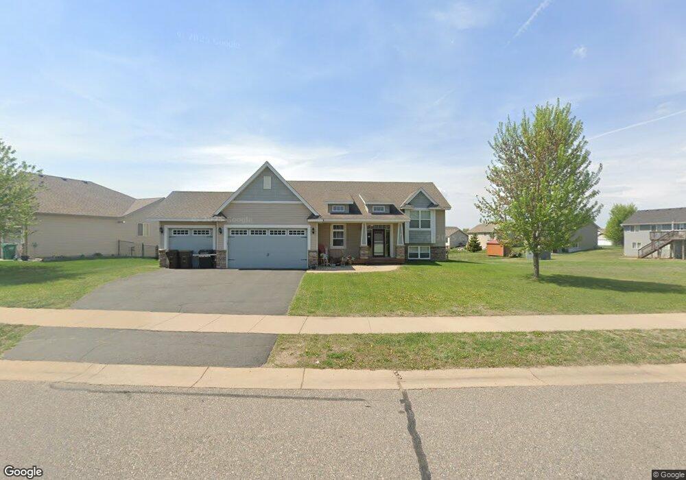
20321 Gordon Ln Big Lake, MN 55309
Estimated Value: $386,323 - $433,000
3
Beds
2
Baths
1,513
Sq Ft
$268/Sq Ft
Est. Value
About This Home
This home is located at 20321 Gordon Ln, Big Lake, MN 55309 and is currently estimated at $404,831, approximately $267 per square foot. 20321 Gordon Ln is a home located in Sherburne County with nearby schools including Liberty Elementary School, Independence Elementary School, and Big Lake Middle School.
Ownership History
Date
Name
Owned For
Owner Type
Purchase Details
Closed on
Feb 25, 2008
Sold by
Hsbc Bank Usa
Bought by
Gervasi Robert P and Gervasi Heather K
Current Estimated Value
Purchase Details
Closed on
Mar 1, 2006
Sold by
Minks Enterprises Inc
Bought by
Wilke Rodney
Purchase Details
Closed on
Aug 30, 2005
Sold by
Norland Park Of Big Lake Llc
Bought by
Minks Enterprises Inc
Create a Home Valuation Report for This Property
The Home Valuation Report is an in-depth analysis detailing your home's value as well as a comparison with similar homes in the area
Home Values in the Area
Average Home Value in this Area
Purchase History
| Date | Buyer | Sale Price | Title Company |
|---|---|---|---|
| Gervasi Robert P | $200,550 | -- | |
| Wilke Rodney | $267,697 | -- | |
| Minks Enterprises Inc | $119,800 | -- |
Source: Public Records
Tax History Compared to Growth
Tax History
| Year | Tax Paid | Tax Assessment Tax Assessment Total Assessment is a certain percentage of the fair market value that is determined by local assessors to be the total taxable value of land and additions on the property. | Land | Improvement |
|---|---|---|---|---|
| 2025 | $4,782 | $396,700 | $82,700 | $314,000 |
| 2024 | $4,770 | $392,300 | $82,700 | $309,600 |
| 2023 | $4,528 | $393,100 | $83,800 | $309,300 |
| 2022 | $4,260 | $361,400 | $71,000 | $290,400 |
| 2020 | $3,944 | $276,100 | $40,700 | $235,400 |
| 2019 | $3,726 | $260,800 | $36,000 | $224,800 |
| 2018 | $3,606 | $244,500 | $33,100 | $211,400 |
| 2017 | $3,464 | $228,500 | $30,200 | $198,300 |
| 2016 | $3,426 | $213,400 | $27,100 | $186,300 |
| 2015 | $3,148 | $194,500 | $31,500 | $163,000 |
| 2014 | $2,808 | $188,100 | $31,300 | $156,800 |
| 2013 | -- | $159,200 | $25,400 | $133,800 |
Source: Public Records
Map
Nearby Homes
- 20311 Gordon Ln
- 20172 Truman Dr
- 20189 Esther Pkwy
- 4265 Lake Ridge Dr
- 4650 Pondview Cir
- 491 Highland Ave
- TBD Manitou St
- 241 Leighton Dr
- 3300 Lake View Ln
- 679 Lakeshore Dr
- TBD Highway 10 NW
- 5607 Egret Ave
- 1641 Kenabec St
- 5008 Bluff Rd
- 21122 County Road 81 NW
- 1106 Kilbirnie Rd
- 4327 Sterling Dr
- 1075 Kilbirnie Rd
- 5365 Mitchell Ridge Dr
- 1280 Hill St
- 20331 Gordon Ln
- 20341 Gordon Ln
- 19851 204th Ave
- 20326 Gordon Ln
- 20347 Gordon Ln
- 20320 Gordon Ln
- 19861 204th Ave
- 19861 19861 204th Ave NW
- 20314 Gordon Ln
- 20332 Gordon Ln
- 20308 Gordon Ln
- 19877 204th Ave
- 20353 Gordon Ln
- 20338 Gordon Ln
- 20302 Gordon Ln
- 20344 Gordon Ln
- 19891 204th Ave
- 20359 Gordon Ln
- 20350 Gordon Ln
- 19901 204th Ave