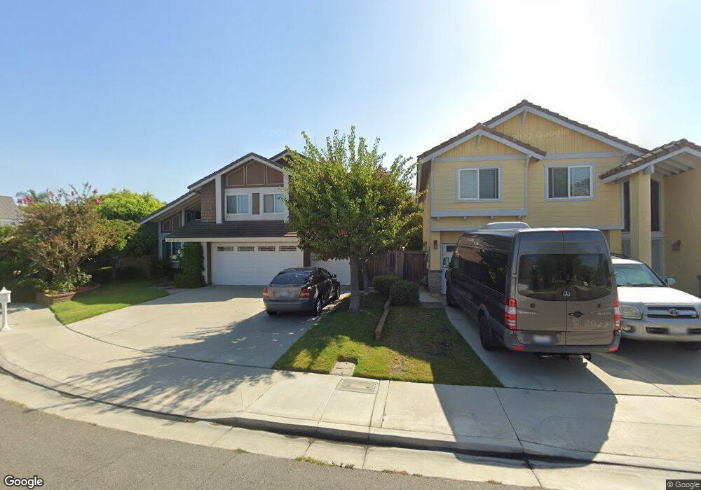
20322 Beam Cir Huntington Beach, CA 92646
Southeast NeighborhoodEstimated Value: $1,742,000 - $1,790,000
5
Beds
3
Baths
2,370
Sq Ft
$745/Sq Ft
Est. Value
About This Home
This home is located at 20322 Beam Cir, Huntington Beach, CA 92646 and is currently estimated at $1,766,468, approximately $745 per square foot. 20322 Beam Cir is a home located in Orange County with nearby schools including S.A. Moffett Elementary School, Isaac L. Sowers Middle School, and Edison High School.
Ownership History
Date
Name
Owned For
Owner Type
Purchase Details
Closed on
Jun 9, 2005
Sold by
Richey Marrianne
Bought by
Tonel Wesley and Tonel Elaine
Current Estimated Value
Home Financials for this Owner
Home Financials are based on the most recent Mortgage that was taken out on this home.
Original Mortgage
$671,920
Outstanding Balance
$327,728
Interest Rate
4.75%
Mortgage Type
Purchase Money Mortgage
Estimated Equity
$1,438,740
Create a Home Valuation Report for This Property
The Home Valuation Report is an in-depth analysis detailing your home's value as well as a comparison with similar homes in the area
Home Values in the Area
Average Home Value in this Area
Purchase History
| Date | Buyer | Sale Price | Title Company |
|---|---|---|---|
| Tonel Wesley | $840,000 | Ticor |
Source: Public Records
Mortgage History
| Date | Status | Borrower | Loan Amount |
|---|---|---|---|
| Open | Tonel Wesley | $671,920 |
Source: Public Records
Tax History Compared to Growth
Tax History
| Year | Tax Paid | Tax Assessment Tax Assessment Total Assessment is a certain percentage of the fair market value that is determined by local assessors to be the total taxable value of land and additions on the property. | Land | Improvement |
|---|---|---|---|---|
| 2025 | $13,771 | $1,237,723 | $972,497 | $265,226 |
| 2024 | $13,771 | $1,213,454 | $953,428 | $260,026 |
| 2023 | $12,568 | $1,108,026 | $860,658 | $247,368 |
| 2022 | $12,240 | $1,086,300 | $843,782 | $242,518 |
| 2021 | $12,013 | $1,065,000 | $827,237 | $237,763 |
| 2020 | $12,789 | $1,131,742 | $889,224 | $242,518 |
| 2019 | $12,635 | $1,109,551 | $871,788 | $237,763 |
| 2018 | $12,439 | $1,087,796 | $854,695 | $233,101 |
| 2017 | $11,453 | $993,000 | $793,012 | $199,988 |
| 2016 | $10,205 | $906,000 | $706,012 | $199,988 |
| 2015 | $9,699 | $855,000 | $655,012 | $199,988 |
| 2014 | $9,680 | $855,000 | $655,012 | $199,988 |
Source: Public Records
Map
Nearby Homes
- 20251 Lighthouse Ln
- 20302 Tidepool Cir Unit 204
- 20162 S New Britain Ln
- 8182 Mainsail Dr Unit 203
- 8472 Norfolk Dr
- 20401 Somerville Ln
- 20371 Bluffside Cir Unit B214
- 20371 Bluffside Cir Unit 401
- 20251 Cape Coral Ln Unit 315
- 20301 Bluffside Cir Unit D401
- 20301 Bluffside Cir Unit D312
- 20331 Bluffside Cir Unit 411
- 20331 Bluffside Cir Unit A108
- 20331 Bluffside Cir Unit 303
- 20331 Bluffside Cir Unit 222
- 20331 Bluffside Cir Unit A320
- 20331 Bluffside Cir Unit 417
- 20191 Imperial Cove Ln
- 8565 Colusa Cir Unit 906C
- 8565 Trinity Cir
- 20312 Beam Cir
- 20321 Harpoon Cir
- 20311 Harpoon Cir
- 8332 Seaport Dr
- 8342 Seaport Dr
- 20321 Beam Cir
- 20302 Beam Cir
- 8322 Seaport Dr
- 20291 Harpoon Cir
- 20311 Beam Cir
- 8362 Seaport Dr
- 20292 Beam Cir
- 8312 Seaport Dr
- 8372 Seaport Dr
- 20291 Beam Cir
- 20281 Harpoon Cir
- 20301 Beam Cir
- 8381 Seaport Dr
- 8341 Munster Dr
- 8351 Munster Dr