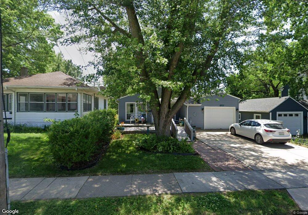
2033 Elm St Davenport, IA 52803
East End NeighborhoodEstimated Value: $163,000 - $176,000
3
Beds
1
Bath
1,092
Sq Ft
$154/Sq Ft
Est. Value
About This Home
This home is located at 2033 Elm St, Davenport, IA 52803 and is currently estimated at $167,983, approximately $153 per square foot. 2033 Elm St is a home located in Scott County with nearby schools including Garfield Elementary School, Casey County Middle School, and Sudlow Intermediate School.
Ownership History
Date
Name
Owned For
Owner Type
Purchase Details
Closed on
Mar 25, 2025
Sold by
Burris Deborah S and Phelps Deborah Sue
Bought by
Phelps Deborah Sue and Smith David Francis
Current Estimated Value
Purchase Details
Closed on
Oct 3, 2008
Sold by
Miller Vern E and Miller Debbie
Bought by
Burris Deborah S
Home Financials for this Owner
Home Financials are based on the most recent Mortgage that was taken out on this home.
Original Mortgage
$73,530
Interest Rate
6.43%
Mortgage Type
Purchase Money Mortgage
Create a Home Valuation Report for This Property
The Home Valuation Report is an in-depth analysis detailing your home's value as well as a comparison with similar homes in the area
Home Values in the Area
Average Home Value in this Area
Purchase History
| Date | Buyer | Sale Price | Title Company |
|---|---|---|---|
| Phelps Deborah Sue | -- | None Listed On Document | |
| Burris Deborah S | $77,500 | None Available |
Source: Public Records
Mortgage History
| Date | Status | Borrower | Loan Amount |
|---|---|---|---|
| Previous Owner | Burris Deborah S | $73,530 |
Source: Public Records
Tax History Compared to Growth
Tax History
| Year | Tax Paid | Tax Assessment Tax Assessment Total Assessment is a certain percentage of the fair market value that is determined by local assessors to be the total taxable value of land and additions on the property. | Land | Improvement |
|---|---|---|---|---|
| 2025 | $2,420 | $159,260 | $22,560 | $136,700 |
| 2024 | $2,356 | $145,590 | $22,560 | $123,030 |
| 2023 | $2,572 | $145,590 | $22,560 | $123,030 |
| 2022 | $2,298 | $129,270 | $20,300 | $108,970 |
| 2021 | $2,298 | $116,040 | $20,300 | $95,740 |
| 2020 | $2,212 | $110,620 | $20,300 | $90,320 |
| 2019 | $2,194 | $106,330 | $20,300 | $86,030 |
| 2018 | $2,336 | $106,330 | $20,300 | $86,030 |
| 2017 | $591 | $106,330 | $20,300 | $86,030 |
| 2016 | $2,042 | $93,260 | $0 | $0 |
| 2015 | $2,042 | $95,120 | $0 | $0 |
| 2014 | $2,112 | $95,120 | $0 | $0 |
| 2013 | $2,076 | $0 | $0 | $0 |
| 2012 | -- | $88,210 | $18,630 | $69,580 |
Source: Public Records
Map
Nearby Homes
- 2103 E Lombard St
- 2003 E Rusholme St
- 2125 Eastern Ave
- 1604 E Pleasant St
- 2111 Mississippi Ave
- 1504 Christie St
- 9 Parkwood Dr
- 1734 Ridgewood Ave
- 2706 Ridgewood Ave
- 1626 Esplanade Ave
- 2704 E High St
- 2131 Lorton Ave
- 1411 Jersey Ridge Rd
- 1325 Mississippi Ave
- 1233 Eastern Ave
- 2538 E Garfield St
- 71 Crestwood Terrace
- 1202 Adams St
- 2538 Fulton Ave
- 1920 Carey Ave