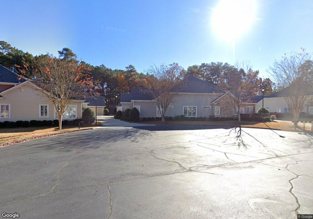
2033 MacLand Square Dr Unit 7 Marietta, GA 30064
Estimated Value: $366,991 - $382,000
3
Beds
2
Baths
1,734
Sq Ft
$216/Sq Ft
Est. Value
About This Home
This home is located at 2033 MacLand Square Dr Unit 7, Marietta, GA 30064 and is currently estimated at $374,248, approximately $215 per square foot. 2033 MacLand Square Dr Unit 7 is a home located in Cobb County with nearby schools including Dowell Elementary School, Lovinggood Middle School, and Hillgrove High School.
Ownership History
Date
Name
Owned For
Owner Type
Purchase Details
Closed on
Mar 25, 2005
Sold by
Circle W Construction Co Inc
Bought by
Jacobi Elaine
Current Estimated Value
Home Financials for this Owner
Home Financials are based on the most recent Mortgage that was taken out on this home.
Original Mortgage
$80,000
Interest Rate
5.62%
Mortgage Type
New Conventional
Create a Home Valuation Report for This Property
The Home Valuation Report is an in-depth analysis detailing your home's value as well as a comparison with similar homes in the area
Home Values in the Area
Average Home Value in this Area
Purchase History
| Date | Buyer | Sale Price | Title Company |
|---|---|---|---|
| Jacobi Elaine | $314,600 | -- |
Source: Public Records
Mortgage History
| Date | Status | Borrower | Loan Amount |
|---|---|---|---|
| Closed | Jacobi Elaine | $80,000 |
Source: Public Records
Tax History Compared to Growth
Tax History
| Year | Tax Paid | Tax Assessment Tax Assessment Total Assessment is a certain percentage of the fair market value that is determined by local assessors to be the total taxable value of land and additions on the property. | Land | Improvement |
|---|---|---|---|---|
| 2024 | $1,145 | $139,644 | $20,800 | $118,844 |
| 2023 | $939 | $139,644 | $20,800 | $118,844 |
| 2022 | $1,045 | $106,176 | $20,800 | $85,376 |
| 2021 | $1,045 | $106,176 | $20,800 | $85,376 |
| 2020 | $1,035 | $102,868 | $20,800 | $82,068 |
| 2019 | $1,035 | $102,868 | $20,800 | $82,068 |
| 2018 | $952 | $90,560 | $16,000 | $74,560 |
| 2017 | $824 | $90,560 | $16,000 | $74,560 |
| 2016 | $667 | $74,452 | $16,000 | $58,452 |
| 2015 | $711 | $74,452 | $16,000 | $58,452 |
| 2014 | $575 | $60,480 | $0 | $0 |
Source: Public Records
Map
Nearby Homes
- 2001 MacLand Square Dr Unit 11
- 1946 MacLand Rd SW
- 1952 Freestone Way
- Hillside Plan at Freestone Station
- Hendricks Plan at Freestone Station
- Antioch Plan at Freestone Station
- Hedgerow Plan at Freestone Station
- Monteluce Plan at Freestone Station
- Oakshire Plan at Freestone Station
- 1960 McEachern Manor Dr SW
- 1985 Freestone Way
- 2009 Freestone Way
- 1697 Dyeson Rd SW
- 1706 Brandon Lee Way SW Unit 1
- 1763 Benningfield Dr SW
- 2050 Heritage Green Dr
- 2040 Hardwood Cir SW Unit 3
- 2035 MacLand Square Dr Unit 28
- 2035 MacLand Square Dr Unit 7
- 2037 MacLand Square Dr Unit 7
- 2031 MacLand Square Dr
- 2029 MacLand Square Dr Unit 8
- 2043 MacLand Square Dr Unit 24
- 2043 MacLand Square Dr Unit 6
- 2025 MacLand Square Dr
- 2027 MacLand Square Dr Unit 8
- 2044 MacLand Square Dr
- 2041 MacLand Square Dr Unit 6
- 2042 MacLand Square Dr Unit 6
- 2038 MacLand Square Dr Unit 2038
- 2038 MacLand Square Dr Unit 5
- 2038 MacLand Square Dr
- 2023 MacLand Square Dr Unit 9
- 2021 MacLand Square Dr Unit 33
- 2021 MacLand Square Dr Unit 9
- 2021 MacLand Square Dr Unit 2021
- 2036 MacLand Square Dr Unit 17