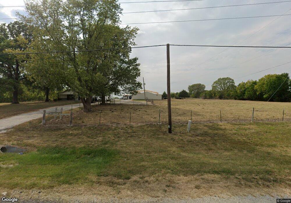
20330 Webster St Spring Hill, KS 66083
Estimated Value: $363,000 - $526,676
2
Beds
1
Bath
1,280
Sq Ft
$342/Sq Ft
Est. Value
About This Home
This home is located at 20330 Webster St, Spring Hill, KS 66083 and is currently estimated at $437,892, approximately $342 per square foot. 20330 Webster St is a home located in Johnson County with nearby schools including Wolf Creek Elementary School, Spring Hill Middle School, and Spring Hill High School.
Ownership History
Date
Name
Owned For
Owner Type
Purchase Details
Closed on
May 16, 2024
Sold by
Bell Michael W and Bell Mike
Bought by
Bell Homes
Current Estimated Value
Home Financials for this Owner
Home Financials are based on the most recent Mortgage that was taken out on this home.
Original Mortgage
$2,200,000
Outstanding Balance
$2,169,152
Interest Rate
6.88%
Mortgage Type
Credit Line Revolving
Estimated Equity
-$1,731,260
Purchase Details
Closed on
Feb 25, 2012
Sold by
Bell Gary
Bought by
Bell Mike and Bell Kathlene
Purchase Details
Closed on
May 20, 2003
Sold by
Pasternak Nicholas and Pasternak Kimberly A
Bought by
Bell Gary
Home Financials for this Owner
Home Financials are based on the most recent Mortgage that was taken out on this home.
Original Mortgage
$165,000
Interest Rate
5.79%
Mortgage Type
Construction
Create a Home Valuation Report for This Property
The Home Valuation Report is an in-depth analysis detailing your home's value as well as a comparison with similar homes in the area
Home Values in the Area
Average Home Value in this Area
Purchase History
| Date | Buyer | Sale Price | Title Company |
|---|---|---|---|
| Bell Homes | -- | Security 1St Title | |
| Bell Mike | -- | Midwest Title Co Inc | |
| Bell Gary | -- | Chicago Title Insurance Co |
Source: Public Records
Mortgage History
| Date | Status | Borrower | Loan Amount |
|---|---|---|---|
| Open | Bell Homes | $2,200,000 | |
| Previous Owner | Bell Gary | $165,000 |
Source: Public Records
Tax History Compared to Growth
Tax History
| Year | Tax Paid | Tax Assessment Tax Assessment Total Assessment is a certain percentage of the fair market value that is determined by local assessors to be the total taxable value of land and additions on the property. | Land | Improvement |
|---|---|---|---|---|
| 2024 | $5,311 | $46,018 | $30,707 | $15,311 |
| 2023 | $4,808 | $40,868 | $26,682 | $14,186 |
| 2022 | $4,442 | $37,396 | $21,359 | $16,037 |
| 2021 | $3,856 | $31,533 | $18,671 | $12,862 |
| 2020 | $3,855 | $31,247 | $18,671 | $12,576 |
| 2019 | $3,701 | $29,818 | $18,589 | $11,229 |
| 2018 | $3,499 | $29,302 | $18,589 | $10,713 |
| 2017 | $3,097 | $25,656 | $17,375 | $8,281 |
| 2016 | $1,665 | $13,886 | $6,933 | $6,953 |
| 2015 | $1,558 | $13,000 | $6,903 | $6,097 |
| 2013 | -- | $12,236 | $6,882 | $5,354 |
Source: Public Records
Map
Nearby Homes
- 20127 Falcon Ridge Dr
- 20410 W 201st St
- 19985 W 199th St
- 20711 W 199th St
- 20206 Cornice St
- 20190 Cornice St
- 20182 Cornice St
- 20174 Cornice St
- 19595 W 202nd Terrace
- 20193 Cornice St
- 20177 Cornice St
- 19631 W 201st St
- 19614 W 201st Terrace
- Chatham Plan at Woodland Crossing
- 19621 W 201st St
- Holcombe Plan at Woodland Crossing
- Bellamy Plan at Woodland Crossing
- Newcastle Plan at Woodland Crossing
- Harmony Plan at Woodland Crossing
- 19620 W 201st St
- 20430 Webster St
- 20230 N Webster St
- 20135 Webster St
- 20110 Webster St
- 20681 W 201st St
- 20641 W 201st St
- 20601 W 201st St
- 20561 W 201st St
- 20541 W 201st St
- 20094 S Palisade St
- 20521 W 201st St
- 19616 W 196th St
- 19628 W 196th St
- 19608 W 196th St
- 21595 Franklin St
- 19604 W 196th St
- 20089 S Palisade St
- 20084 S Palisade St
- 20542 W 201st St
- 20590 Webster St