20331 Portview Cir Unit 104 Huntington Beach, CA 92646
Southeast NeighborhoodEstimated Value: $707,784 - $792,000
2
Beds
2
Baths
1,104
Sq Ft
$685/Sq Ft
Est. Value
About This Home
This home is located at 20331 Portview Cir Unit 104, Huntington Beach, CA 92646 and is currently estimated at $756,696, approximately $685 per square foot. 20331 Portview Cir Unit 104 is a home located in Orange County with nearby schools including John R. Peterson Elementary, Isaac L. Sowers Middle School, and Edison High School.
Ownership History
Date
Name
Owned For
Owner Type
Purchase Details
Closed on
Dec 18, 2024
Sold by
Miller Andre C and Miller Erin L
Bought by
Jmsk Miller Family Trust and Miller
Current Estimated Value
Purchase Details
Closed on
Oct 24, 2011
Sold by
Talamantes Clarence Scott and Talamantes Cheryl Ann
Bought by
Miller Andre C and Miller Erin L
Home Financials for this Owner
Home Financials are based on the most recent Mortgage that was taken out on this home.
Original Mortgage
$275,500
Interest Rate
3.94%
Mortgage Type
New Conventional
Purchase Details
Closed on
Jan 26, 2006
Sold by
Ekstedt Christopher and Ekstedt Amber D
Bought by
Talamantes Clarence Scott and Talamantes Cheryl Ann
Home Financials for this Owner
Home Financials are based on the most recent Mortgage that was taken out on this home.
Original Mortgage
$417,000
Interest Rate
5.62%
Mortgage Type
Purchase Money Mortgage
Purchase Details
Closed on
Apr 5, 2005
Sold by
Ekstedt Christopher and Herder Greg
Bought by
Ekstedt Christopher and Ekstedt Amber D
Home Financials for this Owner
Home Financials are based on the most recent Mortgage that was taken out on this home.
Original Mortgage
$285,000
Interest Rate
5.25%
Mortgage Type
New Conventional
Purchase Details
Closed on
Feb 3, 2003
Sold by
Coyston James A and Coyston Patricia L
Bought by
Ekstedt Christopher and Herder Greg
Home Financials for this Owner
Home Financials are based on the most recent Mortgage that was taken out on this home.
Original Mortgage
$283,000
Interest Rate
5.35%
Purchase Details
Closed on
Aug 26, 1996
Sold by
Henderson Don L and Henderson Diana B
Bought by
Coyston James A and Coyston Patricia L
Home Financials for this Owner
Home Financials are based on the most recent Mortgage that was taken out on this home.
Original Mortgage
$155,950
Interest Rate
7.87%
Create a Home Valuation Report for This Property
The Home Valuation Report is an in-depth analysis detailing your home's value as well as a comparison with similar homes in the area
Home Values in the Area
Average Home Value in this Area
Purchase History
| Date | Buyer | Sale Price | Title Company |
|---|---|---|---|
| Jmsk Miller Family Trust | -- | None Listed On Document | |
| Jmsk Miller Family Trust | -- | None Listed On Document | |
| Miller Andre C | $290,000 | First American Title Company | |
| Talamantes Clarence Scott | $522,000 | Chicago Title Co | |
| Ekstedt Christopher | -- | Commonwealth Title | |
| Ekstedt Christopher | $315,000 | -- | |
| Coyston James A | $164,500 | Old Republic Title Company |
Source: Public Records
Mortgage History
| Date | Status | Borrower | Loan Amount |
|---|---|---|---|
| Previous Owner | Miller Andre C | $275,500 | |
| Previous Owner | Talamantes Clarence Scott | $417,000 | |
| Previous Owner | Ekstedt Christopher | $285,000 | |
| Previous Owner | Ekstedt Christopher | $283,000 | |
| Previous Owner | Coyston James A | $155,950 |
Source: Public Records
Tax History Compared to Growth
Tax History
| Year | Tax Paid | Tax Assessment Tax Assessment Total Assessment is a certain percentage of the fair market value that is determined by local assessors to be the total taxable value of land and additions on the property. | Land | Improvement |
|---|---|---|---|---|
| 2025 | $4,324 | $364,249 | $248,063 | $116,186 |
| 2024 | $4,324 | $357,107 | $243,199 | $113,908 |
| 2023 | $4,225 | $350,105 | $238,430 | $111,675 |
| 2022 | $4,114 | $343,241 | $233,755 | $109,486 |
| 2021 | $4,039 | $336,511 | $229,171 | $107,340 |
| 2020 | $4,012 | $333,061 | $226,821 | $106,240 |
| 2019 | $3,967 | $326,531 | $222,374 | $104,157 |
| 2018 | $3,907 | $320,129 | $218,014 | $102,115 |
| 2017 | $3,855 | $313,852 | $213,739 | $100,113 |
| 2016 | $3,690 | $307,699 | $209,549 | $98,150 |
| 2015 | $3,654 | $303,078 | $206,402 | $96,676 |
| 2014 | $3,578 | $297,142 | $202,359 | $94,783 |
Source: Public Records
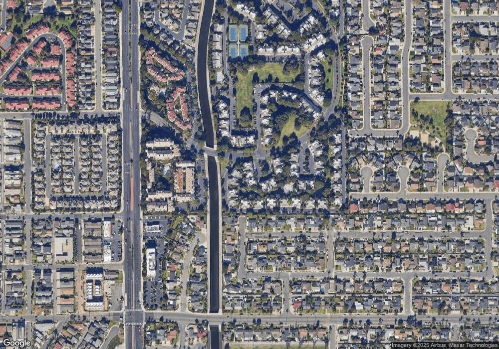
Map
Nearby Homes
- 20371 Bluffside Cir Unit B214
- 20401 Somerville Ln
- 8182 Mainsail Dr Unit 203
- 20331 Bluffside Cir Unit A108
- 20331 Bluffside Cir Unit 303
- 20331 Bluffside Cir Unit 222
- 20331 Bluffside Cir Unit A320
- 20331 Bluffside Cir Unit 417
- 20301 Bluffside Cir Unit D401
- 20301 Bluffside Cir Unit D312
- 20251 Cape Coral Ln Unit 315
- 20341 Bluffside Cir Unit C301
- 20162 S New Britain Ln
- 1015 Georgia St
- 20251 Lighthouse Ln
- 632 Indianapolis Ave
- 20642 Goshawk Ln
- 20701 Beach Blvd Unit 103
- 20701 Beach Blvd Unit 65
- 20701 Beach Blvd Unit 100
- 20362 Bridgeside Ln Unit 101
- 20362 Bridgeside Ln Unit 203
- 20342 Bridgeside Ln Unit 104
- 20362 Bridgeside Ln Unit 204
- 20362 Bridgeside Ln Unit 201
- 20342 Bridgeside Ln Unit 201
- 20342 Bridgeside Ln Unit 202
- 20342 Bridgeside Ln Unit 203
- 20342 Bridgeside Ln Unit 101
- 20342 Bridgeside Ln Unit 204
- 20362 Bridgeside Ln Unit 102
- 20362 Bridgeside Ln Unit 104
- 20342 Bridgeside Ln Unit 103
- 20362 Bridgeside Ln Unit 103
- 20342 Bridgeside Ln Unit 102
- 20331 Portview Cir
- 20321 Tidepool Cir
- 20331 Portview Cir Unit 103
- 20331 Portview Cir Unit 205
- 20321 Tidepool Cir Unit 103