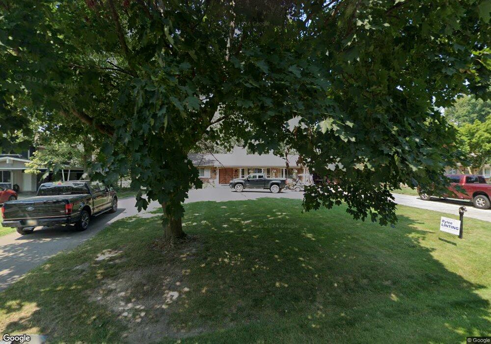
20332 Canal Dr Grosse Ile, MI 48138
Estimated Value: $504,000 - $613,000
--
Bed
--
Bath
1,759
Sq Ft
$308/Sq Ft
Est. Value
About This Home
This home is located at 20332 Canal Dr, Grosse Ile, MI 48138 and is currently estimated at $541,396, approximately $307 per square foot. 20332 Canal Dr is a home located in Wayne County with nearby schools including St. Cyprian Elementary School.
Ownership History
Date
Name
Owned For
Owner Type
Purchase Details
Closed on
Aug 29, 2014
Sold by
Harris Robert Kenneth and Moxlow Harris Doreen J
Bought by
Symons Jeffrey and Symons Leah
Current Estimated Value
Purchase Details
Closed on
Jan 28, 2003
Sold by
Harris Robert Kenneth and Harris Robert K
Bought by
Harris Robert Kenneth
Home Financials for this Owner
Home Financials are based on the most recent Mortgage that was taken out on this home.
Original Mortgage
$250,000
Interest Rate
6.06%
Create a Home Valuation Report for This Property
The Home Valuation Report is an in-depth analysis detailing your home's value as well as a comparison with similar homes in the area
Home Values in the Area
Average Home Value in this Area
Purchase History
| Date | Buyer | Sale Price | Title Company |
|---|---|---|---|
| Symons Jeffrey | $375,000 | Michigan Title Insurance Age | |
| Harris Robert Kenneth | -- | Multiple |
Source: Public Records
Mortgage History
| Date | Status | Borrower | Loan Amount |
|---|---|---|---|
| Previous Owner | Harris Robert Kenneth | $250,000 |
Source: Public Records
Tax History Compared to Growth
Tax History
| Year | Tax Paid | Tax Assessment Tax Assessment Total Assessment is a certain percentage of the fair market value that is determined by local assessors to be the total taxable value of land and additions on the property. | Land | Improvement |
|---|---|---|---|---|
| 2025 | $3,370 | $268,500 | $0 | $0 |
| 2024 | $3,370 | $260,300 | $0 | $0 |
| 2023 | $3,854 | $242,000 | $0 | $0 |
| 2022 | $8,971 | $222,600 | $0 | $0 |
| 2021 | $8,581 | $216,600 | $0 | $0 |
| 2019 | $8,510 | $202,800 | $0 | $0 |
| 2018 | $3,660 | $200,200 | $0 | $0 |
| 2017 | $9,451 | $192,800 | $0 | $0 |
| 2016 | $8,363 | $181,200 | $0 | $0 |
| 2015 | $17,810 | $178,100 | $0 | $0 |
| 2013 | $16,090 | $163,800 | $0 | $0 |
| 2012 | $3,405 | $157,200 | $49,100 | $108,100 |
Source: Public Records
Map
Nearby Homes
- 21071 Thorofare Rd
- 21321 Knudsen Dr
- 0 West River Unit 20250008619
- 21438 Meridian Rd
- 21644 Knudsen Dr
- 9447 Whitall Ln
- 8415 Bridge Rd
- 21599 Parke Ln
- 21604 E River Rd
- 21819 Meridian Rd
- 9020 Bridge Rd
- 22015 Ember Ct
- 22133 Meridian Rd
- 8614 Island Blvd
- 8232 Island Blvd
- 22220 E River Rd
- 9281 Island Dr
- 7806 Island Blvd
- 0 W Jefferson Ave Unit 20250000763
- 18802 Jefferson
- 20356 Canal Dr
- 20308 Canal Dr
- 20286 Canal Dr
- 20380 Canal Dr
- 20404 Canal Dr
- 20264 Canal Dr
- 20331 Canal Dr
- 20309 Canal Dr
- 20373 Canal Dr
- 20289 Canal Dr
- 20395 Canal Dr
- 20428 Canal Dr
- 20222 Canal Dr
- 20267 Canal Dr
- 0000 Middleton Ct
- 20407 Canal Dr
- 20579 Thorofare Rd
- 20495 Thorofare Rd
- 20253 Canal Dr
- 20594 Hcl Jackson