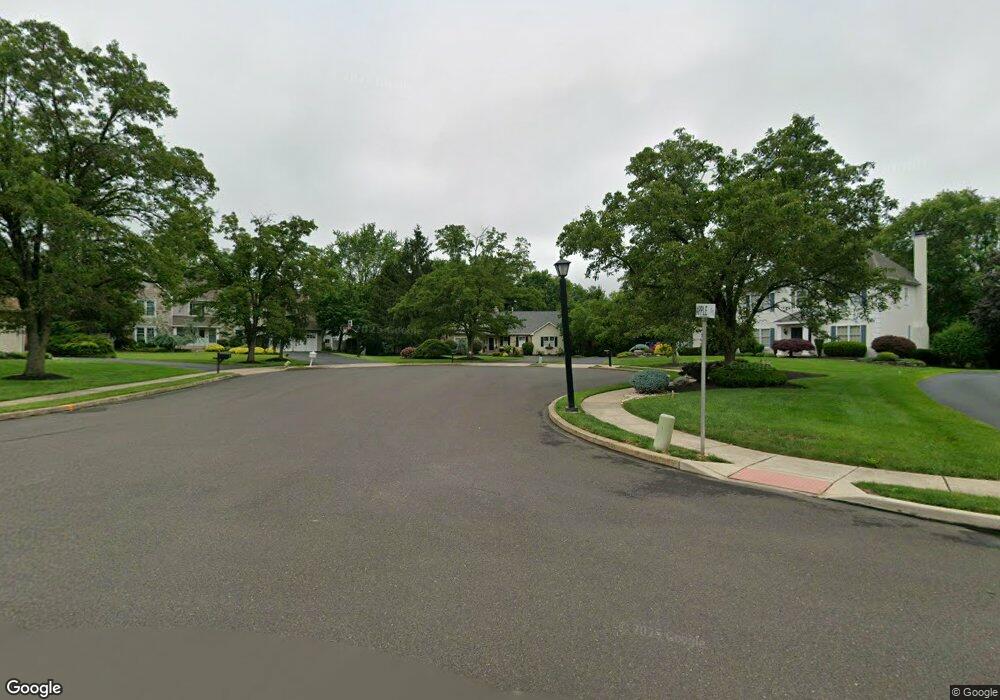
2034 Apple Ct Warrington, PA 18976
Estimated Value: $694,082 - $805,000
3
Beds
3
Baths
2,298
Sq Ft
$332/Sq Ft
Est. Value
About This Home
This home is located at 2034 Apple Ct, Warrington, PA 18976 and is currently estimated at $762,521, approximately $331 per square foot. 2034 Apple Ct is a home located in Bucks County with nearby schools including Barclay Elementary School, Tamanend Middle School, and Central Bucks High School - South.
Ownership History
Date
Name
Owned For
Owner Type
Purchase Details
Closed on
Nov 20, 2008
Sold by
Moore Patricia E and Hofmann Patricia
Bought by
Hagy Susan A and Sacks Jeffrey M
Current Estimated Value
Home Financials for this Owner
Home Financials are based on the most recent Mortgage that was taken out on this home.
Original Mortgage
$328,000
Interest Rate
6.16%
Mortgage Type
Purchase Money Mortgage
Purchase Details
Closed on
Apr 20, 1993
Bought by
Hofmann Herbert H
Create a Home Valuation Report for This Property
The Home Valuation Report is an in-depth analysis detailing your home's value as well as a comparison with similar homes in the area
Home Values in the Area
Average Home Value in this Area
Purchase History
| Date | Buyer | Sale Price | Title Company |
|---|---|---|---|
| Hagy Susan A | $410,000 | None Available | |
| Hofmann Herbert H | $214,000 | -- |
Source: Public Records
Mortgage History
| Date | Status | Borrower | Loan Amount |
|---|---|---|---|
| Closed | Hagy Susan A | $328,000 |
Source: Public Records
Tax History Compared to Growth
Tax History
| Year | Tax Paid | Tax Assessment Tax Assessment Total Assessment is a certain percentage of the fair market value that is determined by local assessors to be the total taxable value of land and additions on the property. | Land | Improvement |
|---|---|---|---|---|
| 2025 | $6,754 | $38,800 | $10,000 | $28,800 |
| 2024 | $6,754 | $38,800 | $10,000 | $28,800 |
| 2023 | $7,079 | $42,000 | $10,000 | $32,000 |
| 2022 | $7,000 | $42,000 | $10,000 | $32,000 |
| 2021 | $6,922 | $42,000 | $10,000 | $32,000 |
| 2020 | $6,922 | $42,000 | $10,000 | $32,000 |
| 2019 | $6,880 | $42,000 | $10,000 | $32,000 |
| 2018 | $6,880 | $42,000 | $10,000 | $32,000 |
| 2017 | $6,827 | $42,000 | $10,000 | $32,000 |
| 2016 | $6,827 | $42,000 | $10,000 | $32,000 |
| 2015 | -- | $42,000 | $10,000 | $32,000 |
| 2014 | -- | $42,000 | $10,000 | $32,000 |
Source: Public Records
Map
Nearby Homes
- 2226 Orchard Hill Cir
- 1656 S Ash Cir
- 1447 Bentley Dr
- 1992 Falabella Cir
- 1402 Valley View
- 1917 Brook Ln
- 2234 Evin Dr
- 2302 MacIs Cir
- Kingswood Plan at Breton Hill
- Mayweather Plan at Breton Hill
- Cloverfield Plan at Breton Hill
- Raintree Plan at Breton Hill
- Rollins Plan at Breton Hill
- 0 W Bristol Rd
- 1805 Roan Dr
- 1105 Madison Cir
- 100 Ginko St Unit 303
- 2018 Buckingham Dr
- 100 Fiddleleaf Ln Unit 104
- 200 Beech Blvd Unit 202
- 2028 Apple Ct
- 2040 Apple Ct
- 2061 Mulberry Ln
- 2071 Mulberry Ln
- 2051 Mulberry Ln
- 2044 Apple Ct
- 2018 Cedar Dr
- 2081 Mulberry Ln
- 2041 Mulberry Ln
- 1539 Guinea Ln
- 2022 Cedar Dr
- 2024 Cedar Dr
- 2020 Cedar Dr
- 2015 Cedar Dr
- 2016 Cedar Dr
- 2031 Mulberry Ln
- 2026 Cedar Dr
- 2091 Mulberry Ln
- 00 Cedar Dr
- Lot 2 Cedar Dr