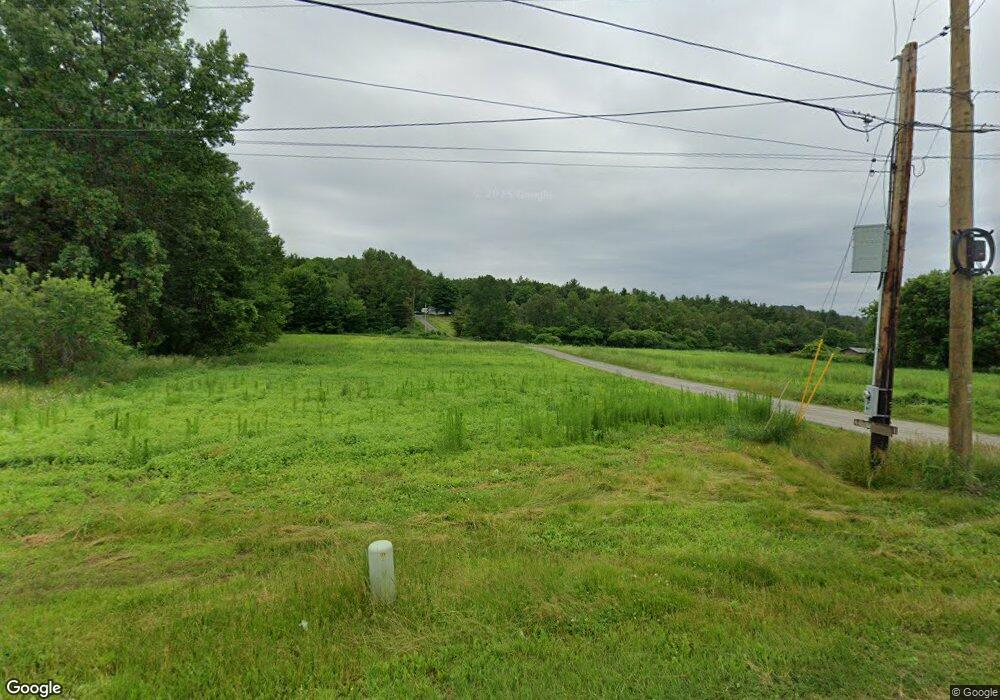
2034 Littleton Rd Monroe, NH 03771
Estimated Value: $286,000 - $453,000
2
Beds
1
Bath
1,321
Sq Ft
$263/Sq Ft
Est. Value
About This Home
This home is located at 2034 Littleton Rd, Monroe, NH 03771 and is currently estimated at $347,113, approximately $262 per square foot. 2034 Littleton Rd is a home with nearby schools including Monroe Consolidated School.
Ownership History
Date
Name
Owned For
Owner Type
Purchase Details
Closed on
Oct 18, 1999
Sold by
Labbe Sheryl L
Bought by
Stafford Brian E
Current Estimated Value
Home Financials for this Owner
Home Financials are based on the most recent Mortgage that was taken out on this home.
Original Mortgage
$63,000
Outstanding Balance
$18,979
Interest Rate
7.8%
Estimated Equity
$328,134
Create a Home Valuation Report for This Property
The Home Valuation Report is an in-depth analysis detailing your home's value as well as a comparison with similar homes in the area
Home Values in the Area
Average Home Value in this Area
Purchase History
| Date | Buyer | Sale Price | Title Company |
|---|---|---|---|
| Stafford Brian E | $70,000 | -- |
Source: Public Records
Mortgage History
| Date | Status | Borrower | Loan Amount |
|---|---|---|---|
| Open | Stafford Brian E | $30,000 | |
| Closed | Stafford Brian E | $20,000 | |
| Open | Stafford Brian E | $63,000 |
Source: Public Records
Tax History Compared to Growth
Tax History
| Year | Tax Paid | Tax Assessment Tax Assessment Total Assessment is a certain percentage of the fair market value that is determined by local assessors to be the total taxable value of land and additions on the property. | Land | Improvement |
|---|---|---|---|---|
| 2024 | $2,207 | $207,000 | $61,700 | $145,300 |
| 2023 | $2,014 | $207,000 | $61,700 | $145,300 |
| 2022 | $1,576 | $129,300 | $53,700 | $75,600 |
| 2020 | $1,549 | $129,300 | $53,700 | $75,600 |
| 2019 | $1,466 | $129,300 | $53,700 | $75,600 |
| 2018 | $1,382 | $129,300 | $53,700 | $75,600 |
| 2016 | $1,378 | $121,500 | $46,300 | $75,200 |
| 2015 | $1,278 | $121,500 | $46,300 | $75,200 |
| 2014 | $1,457 | $121,500 | $46,300 | $75,200 |
| 2012 | $1,654 | $146,000 | $47,200 | $98,800 |
Source: Public Records
Map
Nearby Homes
- 396 Nelson Rd
- 00 Coppermine Rd Unit 59
- 342 Grange Hall Rd
- 1291 Littleton Rd
- 1573 Us Route 5 S
- 433 Grange Hall Rd
- 286 Carter St
- 88 Mill Hill
- 391 Bimson Dr
- 0 Denio Rd Unit 5059200
- 0 Denio Rd Unit 5059211
- 0 Denio Rd Unit 5059215
- 0 Denio Rd Unit 24587948
- 0 Denio Rd
- 0 Denio Rd Unit 5059206
- 0 Denio Rd Unit 24587953
- - Denio Rd
- 4615 U S 5
- 4706 Us Route 5 S
- 1374 Old Silo Rd
- 2032 Littleton Rd
- 1944 Littleton Rd
- 96 Sunset Dr
- 126 Sunset Dr
- 78 Sunset Dr
- Lot 22H Sunset Dr
- 77 Sunset Dr
- 129 Sunset Dr
- 149 Sunset Dr
- 1974 Littleton Rd
- 2112 Littleton Rd
- 39 Judys Ln
- 2031 Littleton Rd
- 1890 Littleton Rd
- 1743 Coppermine Rd
- 1895 Littleton Rd
- 1823 Coppermine Rd
- 1855 Littleton Rd
- 1743 Coppermind Rd
- 1889 Littleton Rd
