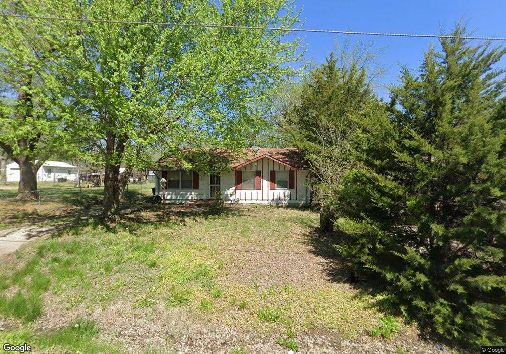
2034 SE 10th St Topeka, KS 66607
East Topeka NeighborhoodEstimated Value: $59,624 - $88,000
2
Beds
1
Bath
925
Sq Ft
$76/Sq Ft
Est. Value
About This Home
This home is located at 2034 SE 10th St, Topeka, KS 66607 and is currently estimated at $70,656, approximately $76 per square foot. 2034 SE 10th St is a home located in Shawnee County with nearby schools including Scott Dual Language Magnet Elementary School, North Bayou Rapides New Vision Academy, and Chase Middle School.
Ownership History
Date
Name
Owned For
Owner Type
Purchase Details
Closed on
Jun 16, 2009
Sold by
Maurath Travis and Maurath Mindy D
Bought by
Ipa Llc
Current Estimated Value
Home Financials for this Owner
Home Financials are based on the most recent Mortgage that was taken out on this home.
Original Mortgage
$25,200
Outstanding Balance
$15,982
Interest Rate
4.84%
Mortgage Type
Future Advance Clause Open End Mortgage
Estimated Equity
$54,674
Purchase Details
Closed on
May 26, 2009
Sold by
Page Jacqueline J
Bought by
Maurath Travis
Home Financials for this Owner
Home Financials are based on the most recent Mortgage that was taken out on this home.
Original Mortgage
$25,200
Outstanding Balance
$15,982
Interest Rate
4.84%
Mortgage Type
Future Advance Clause Open End Mortgage
Estimated Equity
$54,674
Create a Home Valuation Report for This Property
The Home Valuation Report is an in-depth analysis detailing your home's value as well as a comparison with similar homes in the area
Home Values in the Area
Average Home Value in this Area
Purchase History
| Date | Buyer | Sale Price | Title Company |
|---|---|---|---|
| Ipa Llc | -- | Lawyers Title Of Topeka Inc | |
| Maurath Travis | -- | Lawyers Title Of Topeka Inc |
Source: Public Records
Mortgage History
| Date | Status | Borrower | Loan Amount |
|---|---|---|---|
| Open | Ipa Llc | $25,200 |
Source: Public Records
Tax History Compared to Growth
Tax History
| Year | Tax Paid | Tax Assessment Tax Assessment Total Assessment is a certain percentage of the fair market value that is determined by local assessors to be the total taxable value of land and additions on the property. | Land | Improvement |
|---|---|---|---|---|
| 2025 | $907 | $7,531 | -- | -- |
| 2023 | $907 | $4,849 | $0 | $0 |
| 2022 | $610 | $4,531 | $0 | $0 |
| 2021 | $613 | $4,120 | $0 | $0 |
| 2020 | $606 | $4,120 | $0 | $0 |
| 2019 | $597 | $4,039 | $0 | $0 |
| 2018 | $579 | $3,922 | $0 | $0 |
| 2017 | $581 | $3,922 | $0 | $0 |
| 2014 | $598 | $4,290 | $0 | $0 |
Source: Public Records
Map
Nearby Homes
- 1911 SE Iowa Ave
- 816 SE Wear Ave
- 1906 SE Illinois Ave
- 711 SE Lawrence St
- 509 SE Lafayette St
- 514 SE Locust St
- 2233 SE Swygart St
- 620 SE Lake St
- 1710 SE 24th St
- 1708 SE 24th St
- 1943 SE Hudson Blvd
- 802 SE 17th St
- 216 SE Lake St
- 505 SE Fairfax St
- 2328 SE Maryland Ave
- 2345 SE Virginia Ave
- 206 SE Klein St
- 1435 SE Madison St
- 317 SE 11th St
- 2310 SE Massachusetts Ave
- 2034 SE 10th St
- 2038 SE 10th St
- 2030 SE 10th St
- 2026 SE 10th St
- 2042 SE 10th St
- 2022 SE 10th St
- 2046 SE 10th St
- 926 SE California Ave
- 2027 SE 10th St
- 2045 SE 10th St
- 936 SE California Ave
- 1010 SE California Ave
- 1252 SE Republican Ave
- 1254 SE Republican Ave
- 1244 SE Republican Ave
- 1265 SE Republican Ave
- 1242 SE Republican Ave
- 1240 SE Republican Ave
- 1020 SE California Ave
- 2110 SE 11th St