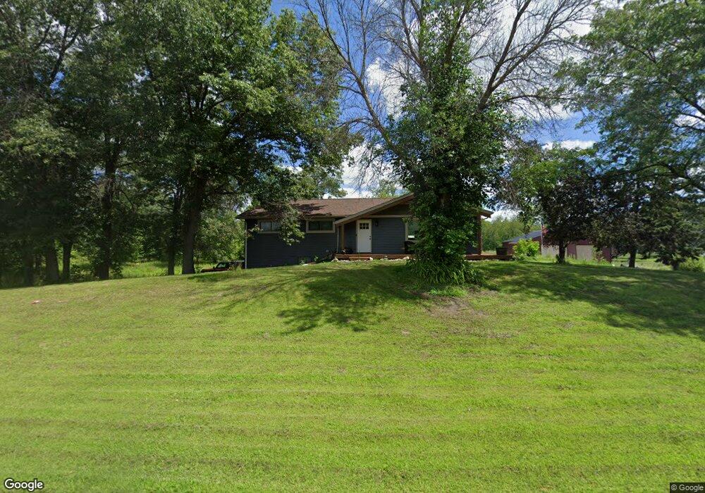
20341 Durant St NE Wyoming, MN 55092
Estimated Value: $393,000 - $546,269
4
Beds
3
Baths
1,344
Sq Ft
$359/Sq Ft
Est. Value
About This Home
This home is located at 20341 Durant St NE, Wyoming, MN 55092 and is currently estimated at $482,317, approximately $358 per square foot. 20341 Durant St NE is a home located in Anoka County with nearby schools including Linwood Elementary School and Forest Lake Area High School.
Ownership History
Date
Name
Owned For
Owner Type
Purchase Details
Closed on
Jan 13, 2017
Sold by
Maalis Andrew Andrew
Bought by
Lammert Ronald and Lammert Ashley
Current Estimated Value
Home Financials for this Owner
Home Financials are based on the most recent Mortgage that was taken out on this home.
Original Mortgage
$245,471
Outstanding Balance
$202,059
Interest Rate
4.08%
Estimated Equity
$280,258
Purchase Details
Closed on
Oct 3, 2011
Sold by
Federal Home Loan
Bought by
Maalis Andrew
Home Financials for this Owner
Home Financials are based on the most recent Mortgage that was taken out on this home.
Original Mortgage
$149,710
Interest Rate
4.5%
Mortgage Type
FHA
Purchase Details
Closed on
Nov 18, 2002
Sold by
Kvistberg Warren and Kvistberg Tammy R
Bought by
Xiong Wachue Nialou and Xiong True Vang
Create a Home Valuation Report for This Property
The Home Valuation Report is an in-depth analysis detailing your home's value as well as a comparison with similar homes in the area
Home Values in the Area
Average Home Value in this Area
Purchase History
| Date | Buyer | Sale Price | Title Company |
|---|---|---|---|
| Lammert Ronald | $250,000 | -- | |
| Lammert Ronald | $250,000 | First American Title Insuran | |
| Maalis Andrew | $121,500 | -- | |
| Xiong Wachue Nialou | $261,000 | -- |
Source: Public Records
Mortgage History
| Date | Status | Borrower | Loan Amount |
|---|---|---|---|
| Open | Lammert Ronald | $245,471 | |
| Previous Owner | Maalis Andrew | $149,710 |
Source: Public Records
Tax History Compared to Growth
Tax History
| Year | Tax Paid | Tax Assessment Tax Assessment Total Assessment is a certain percentage of the fair market value that is determined by local assessors to be the total taxable value of land and additions on the property. | Land | Improvement |
|---|---|---|---|---|
| 2025 | $4,711 | $496,400 | $193,000 | $303,400 |
| 2024 | $4,711 | $470,600 | $168,800 | $301,800 |
| 2023 | $4,233 | $441,900 | $134,600 | $307,300 |
| 2022 | $4,530 | $449,600 | $129,900 | $319,700 |
| 2021 | $4,011 | $411,800 | $149,800 | $262,000 |
| 2020 | $3,648 | $350,400 | $101,200 | $249,200 |
| 2019 | $3,556 | $307,000 | $94,700 | $212,300 |
| 2018 | $3,417 | $286,700 | $0 | $0 |
| 2017 | $3,409 | $287,200 | $0 | $0 |
| 2016 | $3,188 | $248,700 | $0 | $0 |
| 2015 | $3,018 | $248,700 | $78,500 | $170,200 |
| 2014 | -- | $232,300 | $79,500 | $152,800 |
Source: Public Records
Map
Nearby Homes
- 20136 Erskine St NE
- 20826 Austin St NE
- 21057 Tippecanoe St NE
- 21061 Kissel St NE
- 20852 Okinawa St NE
- 21087 National St NE
- 5160 202nd Ln NE
- 21207 Tippecanoe St NE
- 20610 E Bethel Blvd NE
- 4310 Channel Ln NE
- 21933 Edison St NE
- xxxx Alamo St
- 21928 Edison St NE
- 19479 Leyte St NE
- 20715 Minnie B Grant Ln NE
- L1, XXXX 217th Ave NE
- L2,4XXX 217th Ave NE
- lot 1 217th Ave NE
- LOT 2 217th Ave NE
- lot 3 217th Ave NE
- 20357 Austin St NE
- 4243 Wild Rice Dr NE
- 20380 Austin St NE
- 20400 Austin St NE
- 20325 Austin St NE
- 4255 Wild Rice Dr NE
- 20332 Austin St NE
- 20285 Erskin St NE
- 4325 Wild Rice Dr NE
- 20436 Austin St NE
- 20271 Austin St NE
- 20286 Frazer St NE
- 20246 Erskin St NE
- 20245 Erskin St NE
- 20302 Austin St NE
- 20245 Austin St NE
- 20285 Frazer St NE
- 20236 Frazer St NE
- 20206 Erskin St NE
- 20205 Erskin St NE