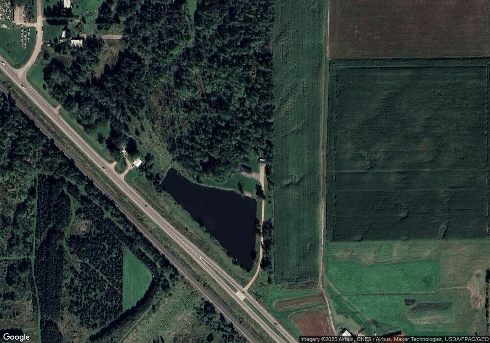
203475 State Highway 13 Marshfield, WI 54449
Estimated Value: $364,000 - $410,000
4
Beds
3
Baths
2,916
Sq Ft
$133/Sq Ft
Est. Value
About This Home
This home is located at 203475 State Highway 13, Marshfield, WI 54449 and is currently estimated at $387,030, approximately $132 per square foot. 203475 State Highway 13 is a home located in Marathon County with nearby schools including Spencer Elementary School, Spencer Middle/High School, and Marshfield Childrens House.
Ownership History
Date
Name
Owned For
Owner Type
Purchase Details
Closed on
Mar 20, 2019
Sold by
Weber Judy and Weber Judith C
Bought by
Olson Brittany J and Olson Jason T
Current Estimated Value
Home Financials for this Owner
Home Financials are based on the most recent Mortgage that was taken out on this home.
Original Mortgage
$198,341
Outstanding Balance
$175,590
Interest Rate
4.75%
Mortgage Type
FHA
Estimated Equity
$211,440
Create a Home Valuation Report for This Property
The Home Valuation Report is an in-depth analysis detailing your home's value as well as a comparison with similar homes in the area
Home Values in the Area
Average Home Value in this Area
Purchase History
| Date | Buyer | Sale Price | Title Company |
|---|---|---|---|
| Olson Brittany J | $202,000 | None Available |
Source: Public Records
Mortgage History
| Date | Status | Borrower | Loan Amount |
|---|---|---|---|
| Open | Olson Brittany J | $198,341 |
Source: Public Records
Tax History Compared to Growth
Tax History
| Year | Tax Paid | Tax Assessment Tax Assessment Total Assessment is a certain percentage of the fair market value that is determined by local assessors to be the total taxable value of land and additions on the property. | Land | Improvement |
|---|---|---|---|---|
| 2024 | $3,511 | $275,900 | $48,500 | $227,400 |
| 2023 | $3,373 | $275,900 | $48,500 | $227,400 |
| 2022 | $3,559 | $186,400 | $26,500 | $159,900 |
| 2021 | $3,205 | $186,400 | $26,500 | $159,900 |
| 2020 | $3,648 | $186,400 | $26,500 | $159,900 |
| 2019 | $3,346 | $186,400 | $26,500 | $159,900 |
| 2018 | $3,384 | $186,400 | $26,500 | $159,900 |
| 2017 | $3,522 | $186,400 | $26,500 | $159,900 |
| 2016 | $3,456 | $186,400 | $26,500 | $159,900 |
| 2015 | $3,105 | $186,400 | $26,500 | $159,900 |
| 2014 | $3,332 | $186,400 | $26,500 | $159,900 |
Source: Public Records
Map
Nearby Homes
- 2909 W Mann St
- 200890 Robin Rd
- Lot 3 Saint Joseph Ave Unit CSM 1302
- 1922 Pheasant Run Dr Unit 6B
- 203536 Sun Ridge Dr
- 1832 Pheasant Run Dr Unit 2B
- Lot 1 Saint Joseph Ave
- 103447 County Road C
- 803 E Birch St
- 110985 Candlewood Ct
- 111133 Mann St
- Lot #1 Meadow Ave
- 1601 Immanuel Ct
- 1006 N Columbus Ave
- 112019 Winterberry Cir
- 205070 Marsh Run Ln
- 1311 N Wood Ave
- 1511 N Broadway Ave
- 9850 County Road Y
- 900 Sawyer Dr
- 203475 State Highway 13
- 203475 State Highway 13
- 203475 State Highway 13
- S2946 State Highway 13
- S2960 State Highway 13
- 203733 State Highway 13
- 203733 State Highway 13
- Lot 29 N Schmidt Rd
- S2979 Schmidt Rd
- 203682 Bauer Dr
- 203724 Bauer Dr
- 203852 Bauer Dr
- S2990 Schmidt Rd
- S2982 Schmidt Rd
- Lot 4 Bauer Dr
- 203501 Bauer Dr
- 203223 State Highway 13
- 204151 Merkel Rd
- 203944 Bauer Dr
- 203345 Bauer Dr
