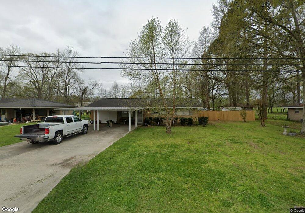
2035 Allene St Brusly, LA 70719
West Baton Rouge Parish NeighborhoodEstimated Value: $164,000 - $237,000
3
Beds
1
Bath
1,350
Sq Ft
$150/Sq Ft
Est. Value
About This Home
This home is located at 2035 Allene St, Brusly, LA 70719 and is currently estimated at $203,072, approximately $150 per square foot. 2035 Allene St is a home located in West Baton Rouge Parish with nearby schools including Brusly Elementary School, Lukeville Upper Elementary School, and Brusly Middle School.
Ownership History
Date
Name
Owned For
Owner Type
Purchase Details
Closed on
Jun 26, 2014
Sold by
Black Joan and Huckaby Michael
Bought by
Badeaux Joshua J
Current Estimated Value
Home Financials for this Owner
Home Financials are based on the most recent Mortgage that was taken out on this home.
Original Mortgage
$96,938
Outstanding Balance
$73,893
Interest Rate
4.18%
Mortgage Type
New Conventional
Estimated Equity
$129,179
Create a Home Valuation Report for This Property
The Home Valuation Report is an in-depth analysis detailing your home's value as well as a comparison with similar homes in the area
Home Values in the Area
Average Home Value in this Area
Purchase History
| Date | Buyer | Sale Price | Title Company |
|---|---|---|---|
| Badeaux Joshua J | $95,000 | Baton Rouge Title Company |
Source: Public Records
Mortgage History
| Date | Status | Borrower | Loan Amount |
|---|---|---|---|
| Open | Badeaux Joshua J | $96,938 |
Source: Public Records
Tax History Compared to Growth
Tax History
| Year | Tax Paid | Tax Assessment Tax Assessment Total Assessment is a certain percentage of the fair market value that is determined by local assessors to be the total taxable value of land and additions on the property. | Land | Improvement |
|---|---|---|---|---|
| 2024 | $809 | $15,850 | $3,400 | $12,450 |
| 2023 | $525 | $12,560 | $3,030 | $9,530 |
| 2022 | $1,317 | $12,560 | $3,030 | $9,530 |
| 2021 | $1,303 | $12,150 | $3,030 | $9,120 |
| 2020 | $1,185 | $10,940 | $2,730 | $8,210 |
| 2019 | $1,382 | $12,250 | $2,420 | $9,830 |
| 2018 | $1,407 | $12,250 | $2,420 | $9,830 |
| 2017 | $1,299 | $12,250 | $2,420 | $9,830 |
| 2015 | $1,042 | $12,130 | $2,300 | $9,830 |
| 2014 | $1,025 | $12,130 | $2,300 | $9,830 |
| 2013 | $1,025 | $12,130 | $2,300 | $9,830 |
Source: Public Records
Map
Nearby Homes
- 2508 Orleans Quarters Dr
- 2809 Live Oak Dr
- 2821 Live Oak Dr
- 3200 Orleans Quarters Dr
- 2805 Live Oak Dr
- 2820 Live Oak Dr
- 2824 Live Oak Dr
- 723 Water Oak Dr
- 6423 Choctaw Rd
- 428 Quiet Oak Blvd
- 6312 Louisiana 1
- 3986 Union Dr
- 3675 Union Dr
- 4922 Belmont Dr
- 6465 Clarkland Blvd
- 4123 Stonewall Dr
- 6378 Yatton Dr
- 4516 Stonewall Dr
- 6458 Highland Dr
- 4744 Trial Dr
- 2049 Allene St
- 2021 Allene St
- 1957 Allene St
- 2101 Allene St
- 1944 Allene St
- 2060 Allene St
- 2117 Allene St
- 1939 Allene St
- 2010 Allene St
- 2070 Allene St
- 1848 Allene St
- 2137 Allene St
- 2072 Allene St
- 1915 Allene St
- 2127 Allene St
- 2120 Allene St
- 1969 Allene St
- 1755 Orleans Quarters Dr
- 1765 Orleans Quarters Dr
- 1745 Orleans Quarters Dr