2035 Middle High Dr Estes Park, CO 80517
Estimated Value: $473,000 - $896,000
5
Beds
1
Bath
1,330
Sq Ft
$496/Sq Ft
Est. Value
About This Home
This home is located at 2035 Middle High Dr, Estes Park, CO 80517 and is currently estimated at $660,206, approximately $496 per square foot. 2035 Middle High Dr is a home located in Larimer County with nearby schools including Estes Park K-5 School, Estes Park Options School, and Estes Park Middle School.
Ownership History
Date
Name
Owned For
Owner Type
Purchase Details
Closed on
Nov 18, 2010
Sold by
Swanson James R and Swanson Lisa E
Bought by
Kempf Trust
Current Estimated Value
Purchase Details
Closed on
Aug 10, 2006
Sold by
Swanson Lisa and Riedesel Michelle A
Bought by
Swanson James R and Swanson Lisa E
Home Financials for this Owner
Home Financials are based on the most recent Mortgage that was taken out on this home.
Original Mortgage
$220,000
Interest Rate
6.79%
Mortgage Type
New Conventional
Purchase Details
Closed on
Jan 1, 1995
Sold by
Newby John W
Bought by
Newby John W Inter-Vivos Trust
Create a Home Valuation Report for This Property
The Home Valuation Report is an in-depth analysis detailing your home's value as well as a comparison with similar homes in the area
Home Values in the Area
Average Home Value in this Area
Purchase History
| Date | Buyer | Sale Price | Title Company |
|---|---|---|---|
| Kempf Trust | -- | None Available | |
| Swanson James R | -- | Capital Title Agency Inc | |
| Newby John W Inter-Vivos Trust | -- | -- |
Source: Public Records
Mortgage History
| Date | Status | Borrower | Loan Amount |
|---|---|---|---|
| Previous Owner | Swanson James R | $220,000 |
Source: Public Records
Tax History Compared to Growth
Tax History
| Year | Tax Paid | Tax Assessment Tax Assessment Total Assessment is a certain percentage of the fair market value that is determined by local assessors to be the total taxable value of land and additions on the property. | Land | Improvement |
|---|---|---|---|---|
| 2025 | $2,859 | $40,736 | $28,140 | $12,596 |
| 2024 | $2,579 | $40,736 | $28,140 | $12,596 |
| 2022 | $2,284 | $31,060 | $13,831 | $17,229 |
| 2021 | $2,345 | $31,954 | $14,229 | $17,725 |
| 2020 | $2,024 | $27,171 | $14,229 | $12,942 |
| 2019 | $2,009 | $27,171 | $14,229 | $12,942 |
| 2018 | $1,983 | $25,978 | $13,320 | $12,658 |
| 2017 | $1,994 | $25,978 | $13,320 | $12,658 |
| 2016 | $1,835 | $24,764 | $14,726 | $10,038 |
| 2015 | $1,811 | $24,770 | $14,730 | $10,040 |
| 2014 | $1,544 | $21,710 | $17,910 | $3,800 |
Source: Public Records
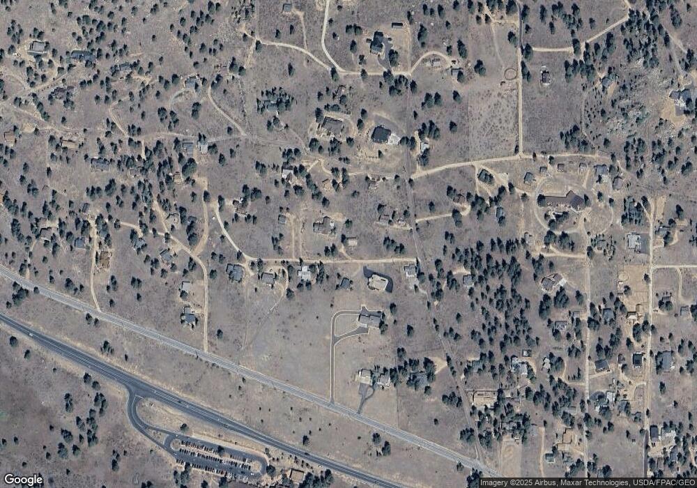
Map
Nearby Homes
- 725 Upper Larkspur Ln
- 739 Larkspur Rd
- 1611 High Dr
- 810 Larkspur Rd
- 811 Larkspur Rd
- 831 Larkspur Rd
- 1565 Highway 66 Unit 46
- 1565 Highway 66 Unit 33
- 1565 Highway 66 Unit 27
- 1565 Highway 66 Unit 49
- 1565 Highway 66 Unit 28
- 1401 High Dr
- 1575 Lower Broadview Rd
- 2220 Eagle Cliff Rd
- 2238 Eagle Cliff Rd
- 1263 Broadview
- 870 Moraine Ave
- 2327 Deer Ridge Dr
- 1141 Wallace Ln
- 683 Cedar Ridge Cir Unit 2
- 575 Tanager Rd
- 2030 High Dr
- 2041 High Dr
- 2004 Penstemon Dr
- 2050 Penstemon Dr
- 2031 High Dr
- 2075 Middle High Dr
- 645 Tanager Rd
- 1945 Tanager Rd
- 0 Upper High Dr Unit 379874
- 0 Upper High Dr Unit 7847976
- 0 Upper High Dr Unit 905600
- 0 Upper High Dr Unit 770156
- 2061 High Dr
- 2060 Upper High Dr
- 2051 Upper High Dr
- 2501 High Dr
- 570 Tanager Rd
- 1951 Upper High Dr
- 1954 High Dr