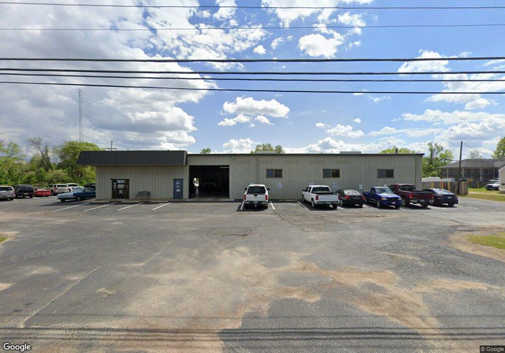
2035 Stateline Rd W Southaven, MS 38671
Estimated Value: $309,000
--
Bed
--
Bath
8,086
Sq Ft
$38/Sq Ft
Est. Value
About This Home
This home is located at 2035 Stateline Rd W, Southaven, MS 38671 and is currently estimated at $309,000, approximately $38 per square foot. 2035 Stateline Rd W is a home located in DeSoto County with nearby schools including Hope Sullivan Elementary School, Southaven Intermediate School, and Southaven Middle School.
Ownership History
Date
Name
Owned For
Owner Type
Purchase Details
Closed on
Sep 2, 2009
Sold by
Alberson Bonnie S
Bought by
Griffin Mitchell A and Griffin Pamela
Current Estimated Value
Home Financials for this Owner
Home Financials are based on the most recent Mortgage that was taken out on this home.
Original Mortgage
$310,000
Outstanding Balance
$201,399
Interest Rate
5.14%
Mortgage Type
Commercial
Estimated Equity
$107,601
Create a Home Valuation Report for This Property
The Home Valuation Report is an in-depth analysis detailing your home's value as well as a comparison with similar homes in the area
Home Values in the Area
Average Home Value in this Area
Purchase History
| Date | Buyer | Sale Price | Title Company |
|---|---|---|---|
| Griffin Mitchell A | -- | None Available |
Source: Public Records
Mortgage History
| Date | Status | Borrower | Loan Amount |
|---|---|---|---|
| Open | Griffin Mitchell A | $310,000 |
Source: Public Records
Tax History Compared to Growth
Tax History
| Year | Tax Paid | Tax Assessment Tax Assessment Total Assessment is a certain percentage of the fair market value that is determined by local assessors to be the total taxable value of land and additions on the property. | Land | Improvement |
|---|---|---|---|---|
| 2024 | $4,702 | $32,390 | $9,177 | $23,213 |
| 2023 | $4,702 | $32,390 | $0 | $0 |
| 2022 | $4,603 | $32,390 | $9,177 | $23,213 |
| 2021 | $4,603 | $32,390 | $9,177 | $23,213 |
| 2020 | $4,302 | $30,265 | $9,177 | $21,088 |
| 2019 | $4,302 | $30,265 | $9,177 | $21,088 |
| 2017 | $4,252 | $50,349 | $29,763 | $20,586 |
| 2016 | $4,252 | $29,762 | $9,177 | $20,585 |
| 2015 | $4,239 | $50,347 | $29,762 | $20,585 |
| 2014 | $4,252 | $29,762 | $0 | $0 |
| 2013 | $4,424 | $29,762 | $0 | $0 |
Source: Public Records
Map
Nearby Homes
- 1728 Forrest Dr
- 8505 Southaven Cir W
- 8493 Cedarbrush Dr
- 8341 Whitehead Dr
- 1821 Tad Cove
- 8376 Cedarcrest Dr E
- 1279 Eason Ave
- 1400 Staunton Dr
- 1383 Ranger Dr
- 1825 Brookhaven Dr
- 1734 Brookhaven Dr
- 1456 Eason Ave
- 8147 Charleston Dr
- 1242 Brandywine Dr
- 9154 Haleville St
- 375 Country Garden Dr
- 2283 Natchez Cove
- 1382 Mary Jane Ave
- 1502 Mary Jane Ave
- 1639 Kilarney Ave
- 2069 Stateline Rd W
- 1961 Stateline Rd W
- 8865 First Industrial Dr
- 9100 Corporate Dr
- 2144 Stateline Rd W
- 2200 Stateline Rd W
- 2040 Stateline Rd W
- 9109 Highway 51 N
- 40 1st Commercial Dr
- 9117 Corporate Dr
- 9127 Corporate Dr Unit B
- 9127 Corporate Dr
- 1926 First Commercial Dr N
- 1926 1st Commercial Dr N
- 1 N Highway 51
- 8985 Highway 51 N
- 8985 Highway 51 N
- 40 First Commercial Dr
- 9220 Us-51
- 9190 U S 51