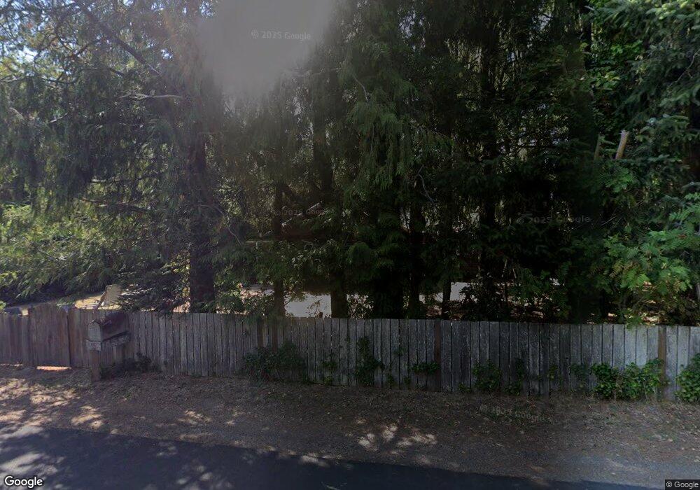
20350 Derrick Rd Cloverdale, OR 97112
Estimated Value: $542,000 - $605,000
3
Beds
2
Baths
2,200
Sq Ft
$261/Sq Ft
Est. Value
About This Home
This home is located at 20350 Derrick Rd, Cloverdale, OR 97112 and is currently estimated at $573,500, approximately $260 per square foot. 20350 Derrick Rd is a home located in Tillamook County with nearby schools including Nestucca K-8 School and Nestucca High School.
Ownership History
Date
Name
Owned For
Owner Type
Purchase Details
Closed on
Oct 5, 2006
Sold by
Nw Preferred Fcu
Bought by
Abney Dennis R and Abney Vici Seykora
Current Estimated Value
Home Financials for this Owner
Home Financials are based on the most recent Mortgage that was taken out on this home.
Original Mortgage
$542,551
Interest Rate
6.43%
Mortgage Type
Purchase Money Mortgage
Create a Home Valuation Report for This Property
The Home Valuation Report is an in-depth analysis detailing your home's value as well as a comparison with similar homes in the area
Home Values in the Area
Average Home Value in this Area
Purchase History
| Date | Buyer | Sale Price | Title Company |
|---|---|---|---|
| Abney Dennis R | $325,000 | First American |
Source: Public Records
Mortgage History
| Date | Status | Borrower | Loan Amount |
|---|---|---|---|
| Closed | Abney Dennis R | $542,551 |
Source: Public Records
Tax History Compared to Growth
Tax History
| Year | Tax Paid | Tax Assessment Tax Assessment Total Assessment is a certain percentage of the fair market value that is determined by local assessors to be the total taxable value of land and additions on the property. | Land | Improvement |
|---|---|---|---|---|
| 2024 | $3,511 | $302,870 | $79,670 | $223,200 |
| 2023 | $3,486 | $294,050 | $77,350 | $216,700 |
| 2022 | $3,360 | $285,490 | $75,100 | $210,390 |
| 2021 | $3,265 | $277,180 | $72,910 | $204,270 |
| 2020 | $3,188 | $269,110 | $70,790 | $198,320 |
| 2019 | $3,120 | $261,280 | $68,730 | $192,550 |
| 2018 | $2,867 | $253,670 | $66,730 | $186,940 |
| 2017 | $2,536 | $246,290 | $64,790 | $181,500 |
| 2016 | $2,448 | $239,120 | $62,900 | $176,220 |
| 2015 | $2,447 | $232,160 | $61,070 | $171,090 |
| 2014 | $2,336 | $225,400 | $59,290 | $166,110 |
| 2013 | -- | $218,840 | $57,560 | $161,280 |
Source: Public Records
Map
Nearby Homes
- TL 2004 Derrick Rd
- TL 2003 Derrick Rd
- 0 Vl Galloway Rd
- 7715 Galloway Rd
- 2001, 2200 Galloway Rd
- VL Galloway Rd
- TL 500 Sandlake Rd
- 500 Sandlake Rd
- 0 Sandlake Rd Unit 25-541
- 0 Sandlake Rd Unit 1207
- 25990 Sandlake Rd
- 26230 Sandlake Rd
- 26305 Sandlake Rd
- 5825 Roma Ave
- 5785 Holly Ave
- 11250 Whiskey Creek Rd
- 1000,1100 & 1200 Farmer Creek Rd
- 29920 Nantucket Dr
- 6405 Southview Loop Unit 45
- 57 Meadowview Ln
- 20460 Derrick Rd
- 20285 Derrick Rd
- 0 Derrick Rd Unit 595629542
- 0 Derrick Rd Unit 2004 528825022
- 0 Derrick Rd Unit 2003 497197372
- 0 Derrick Rd Unit 2004 22625807
- 0 Derrick Rd Unit 2003 22356637
- Lot 708 Derrick Rd
- 18983 ?? Derrick Rd
- 20105 Derrick Rd
- 20560 Derrick Rd
- 20755 Derrick Rd
- 19835 Derrick Rd
- 20855 Derrick Rd
- 9000 Galloway Rd
- 9100 Galloway Rd
- 8520 Galloway Rd
- 8520 Galloway Rd
- 8905 Galloway Rd
- 20000 Derrick Rd
