20350 Whitetail Dr Brainerd, MN 56401
Estimated Value: $388,000 - $441,000
4
Beds
3
Baths
1,712
Sq Ft
$239/Sq Ft
Est. Value
About This Home
This home is located at 20350 Whitetail Dr, Brainerd, MN 56401 and is currently estimated at $408,427, approximately $238 per square foot. 20350 Whitetail Dr is a home located in Crow Wing County with nearby schools including Garfield Elementary School, Forestview Middle School, and Brainerd Senior High School.
Ownership History
Date
Name
Owned For
Owner Type
Purchase Details
Closed on
Oct 15, 2021
Sold by
Weistroffer David J and Weistroffer Lynn M
Bought by
Dube Johnathan P
Current Estimated Value
Home Financials for this Owner
Home Financials are based on the most recent Mortgage that was taken out on this home.
Original Mortgage
$284,000
Outstanding Balance
$259,983
Interest Rate
3.07%
Mortgage Type
Construction
Estimated Equity
$148,444
Create a Home Valuation Report for This Property
The Home Valuation Report is an in-depth analysis detailing your home's value as well as a comparison with similar homes in the area
Home Values in the Area
Average Home Value in this Area
Purchase History
| Date | Buyer | Sale Price | Title Company |
|---|---|---|---|
| Dube Johnathan P | $355,000 | Aitkin Cnty Abstract Co |
Source: Public Records
Mortgage History
| Date | Status | Borrower | Loan Amount |
|---|---|---|---|
| Open | Dube Johnathan P | $284,000 |
Source: Public Records
Tax History
| Year | Tax Paid | Tax Assessment Tax Assessment Total Assessment is a certain percentage of the fair market value that is determined by local assessors to be the total taxable value of land and additions on the property. | Land | Improvement |
|---|---|---|---|---|
| 2025 | $2,082 | $379,100 | $82,600 | $296,500 |
| 2024 | $2,082 | $355,600 | $72,000 | $283,600 |
| 2023 | $2,034 | $340,100 | $64,400 | $275,700 |
| 2022 | $1,924 | $324,700 | $63,700 | $261,000 |
| 2021 | $1,860 | $242,400 | $44,900 | $197,500 |
| 2020 | $1,680 | $224,400 | $42,000 | $182,400 |
| 2019 | $1,670 | $202,800 | $37,200 | $165,600 |
| 2018 | $1,546 | $202,900 | $35,500 | $167,400 |
| 2017 | $1,482 | $183,376 | $41,314 | $142,062 |
| 2016 | $1,452 | $169,600 | $36,300 | $133,300 |
| 2015 | $1,442 | $163,300 | $36,000 | $127,300 |
| 2014 | $694 | $165,500 | $36,100 | $129,400 |
Source: Public Records
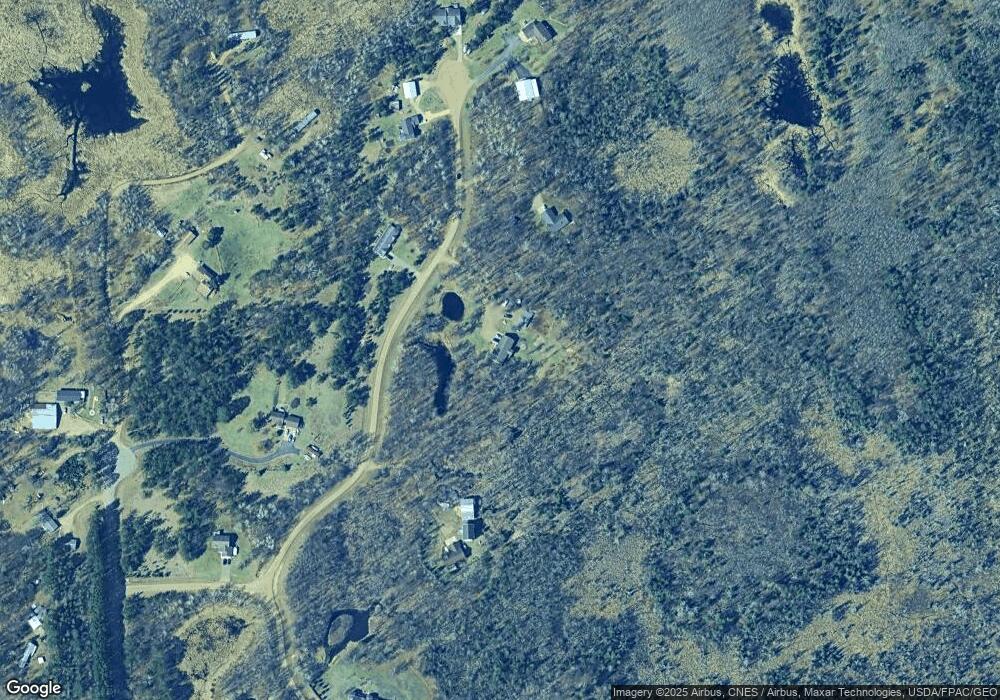
Map
Nearby Homes
- Lot 17 Rock Ridge County Road 3
- Lot 18 Rock Ridge County Road 3
- Lot 13 Rock Ridge County Road 3
- Lot 16 Rock Ridge County Road 3
- Lot 13 Kennedy Rd
- 12324 Sorenson Lake Rd
- 21321 Trailside Ln
- 10032 N Long Lake Rd
- UNIT #2 26020 County Road 3
- UNIT #7 26020 County Road 3
- UNIT #9 26020 County Road 3
- UNIT #12 26020 County Road 3
- UNIT #1 26020 County Road 3
- 21241 County Road 3
- UNIT #5 26020 County Road 3
- UNIT #3 26020 County Road 3
- UNIT #6 26020 County Road 3
- UNIT #10 26020 County Road 3
- UNIT #8 26020 County Road 3
- UNIT #14 26020 County Road 3
- 20384 Whitetail Dr
- 20335 Whitetail Dr
- 20244 Whitetail Dr
- 11483 Bonnie Rd
- 20415 Whitetail Dr
- 11563 Bonnie Rd
- 11519 Bonnie Rd
- 11540 Whitetail Ridge Rd
- 20430 Whitetail Dr
- 20438 Whitetail Dr
- 11626 Whitetail Ridge Rd
- 11579 Bonnie Rd
- 11490 Bonnie Rd
- 11466 Bonnie Rd
- 11412 Bonnie Rd
- TBD Unorganized 1st Assmt
- 11625 Whitetail Ridge Rd
- 11627 Whitetail Ridge Rd
- 11335 Bonnie Rd
- 11356 Bonnie Rd
Your Personal Tour Guide
Ask me questions while you tour the home.