20358 Mahsie Ct Bend, OR 97702
Old Farm District NeighborhoodEstimated Value: $601,768 - $657,000
3
Beds
2
Baths
1,888
Sq Ft
$335/Sq Ft
Est. Value
About This Home
This home is located at 20358 Mahsie Ct, Bend, OR 97702 and is currently estimated at $633,192, approximately $335 per square foot. 20358 Mahsie Ct is a home located in Deschutes County with nearby schools including R.E. Jewell Elementary School, High Desert Middle School, and Deschutes River Montessori School.
Ownership History
Date
Name
Owned For
Owner Type
Purchase Details
Closed on
Nov 20, 2020
Sold by
Jorgenson Leroy and Jorgenson Susan
Bought by
Jorgenson Leroy L and Jorgenson Susan M
Current Estimated Value
Purchase Details
Closed on
Sep 20, 2016
Sold by
Jorgenson Leroy L and Jorgenson Susan M
Bought by
Jorgenson Leroy L and Jorgenson Susan M
Create a Home Valuation Report for This Property
The Home Valuation Report is an in-depth analysis detailing your home's value as well as a comparison with similar homes in the area
Home Values in the Area
Average Home Value in this Area
Purchase History
| Date | Buyer | Sale Price | Title Company |
|---|---|---|---|
| Jorgenson Leroy L | -- | First American Title | |
| Jorgenson Leroy | -- | First American Title | |
| Jorgenson Leroy L | -- | None Available |
Source: Public Records
Tax History Compared to Growth
Tax History
| Year | Tax Paid | Tax Assessment Tax Assessment Total Assessment is a certain percentage of the fair market value that is determined by local assessors to be the total taxable value of land and additions on the property. | Land | Improvement |
|---|---|---|---|---|
| 2025 | $4,125 | $244,150 | -- | -- |
| 2024 | $3,969 | $237,040 | -- | -- |
| 2023 | $3,679 | $230,140 | $0 | $0 |
| 2022 | $3,433 | $216,940 | $0 | $0 |
| 2021 | $3,438 | $210,630 | $0 | $0 |
| 2020 | $3,262 | $210,630 | $0 | $0 |
| 2019 | $3,171 | $204,500 | $0 | $0 |
| 2018 | $3,081 | $198,550 | $0 | $0 |
| 2017 | $2,991 | $192,770 | $0 | $0 |
| 2016 | $2,852 | $187,160 | $0 | $0 |
| 2015 | $2,773 | $181,710 | $0 | $0 |
| 2014 | $2,692 | $176,420 | $0 | $0 |
Source: Public Records
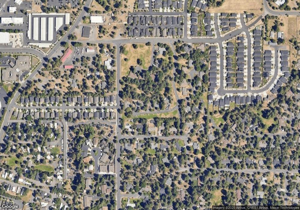
Map
Nearby Homes
- 20289 Knightsbridge Place
- 61366 SE Preston St
- 20372 Sonata Way
- 61280 Parrell Rd Unit 10
- 20376 SE Lois Way
- 61441 SE Daybreak Ct Unit Lot 10
- 61433 SE Daybreak Ct Unit Lot 8
- 61429 SE Daybreak Ct Unit Lot 7
- 61413 SE Daybreak
- 61405 SE Daybreak Ct
- 61409 SE Daybreak Ct Unit Lot 2
- 20250 Narnia Place
- 20487 SE Bard Ct Unit 11
- 20495 SE Bard Ct Unit 7
- 20450 Jacklight Ln
- 20528 Dylan Loop
- 61528 Parrell Rd
- 61217 SE Wagyu Dr Unit 151
- 61221 SE Wagyu Dr Unit Lot 152
- 61531 SE Jennifer Ln Unit 1 & 2
- 20350 Mahsie Ct
- 20364 Mahsie Ct
- 20370 Mashie Ct
- 20370 Mahsie Ct
- 20344 Mahsie Ct
- 20360 Klahani Dr
- 20350 Klahani Dr
- 20366 Klahani Dr
- 61358 Eena Ct
- 61360 Eena Ct
- 20340 Klahani Dr
- 20376 Klahani Dr
- 61356 Eena Ct
- 20318 Knightsbridge Place
- 20318 Knightsbridge Place Unit 17
- 61366 Eena Ct
- 61345 Keelally Ct
- 20317 Knightsbridge Place
- 61351 Keelally Ct
- 20314 Knightsbridge Place