2036 Bitterroot Dr Billings, MT 59105
Billings Heights NeighborhoodEstimated Value: $426,000 - $495,000
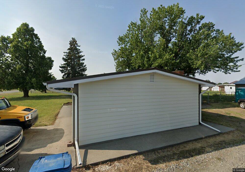
About This Home
This home is located at 2036 Bitterroot Dr, Billings, MT 59105 and is currently estimated at $444,080, approximately $256 per square foot. 2036 Bitterroot Dr is a home located in Yellowstone County with nearby schools including Beartooth School, Medicine Crow Middle School, and Skyview High School.
Ownership History
We collect this data history from publicly available records. To have your information removed, we recommend requesting removal directly through your county’s website.
Purchase Details
Home Financials for this Owner
Home Financials are based on the most recent Mortgage that was taken out on this home.Home Values in the Area
Average Home Value in this Area
Purchase History
We collect this data history from publicly available records. To have your information removed, we recommend requesting removal directly through your county’s website.
| Date | Buyer | Sale Price | Title Company |
|---|---|---|---|
| -- | Chicago Title |
Mortgage History
We collect this data history from publicly available records. To have your information removed, we recommend requesting removal directly through your county’s website.
| Date | Status | Borrower | Loan Amount |
|---|---|---|---|
| Open | $100,000 |
Tax History
We collect this data history from publicly available records. To have your information removed, we recommend requesting removal directly through your county’s website.
| Year | Tax Paid | Tax Assessment Tax Assessment Total Assessment is a certain percentage of the fair market value that is determined by local assessors to be the total taxable value of land and additions on the property. | Land | Improvement |
|---|---|---|---|---|
| 2025 | $3,026 | $434,200 | $86,542 | $347,658 |
| 2024 | $3,026 | $378,200 | $76,977 | $301,223 |
| 2023 | $3,019 | $378,200 | $76,977 | $301,223 |
| 2022 | $2,450 | $255,700 | $0 | $0 |
| 2021 | $2,439 | $255,700 | $0 | $0 |
| 2020 | $2,134 | $224,800 | $0 | $0 |
| 2019 | $2,095 | $224,800 | $0 | $0 |
| 2018 | $1,961 | $203,900 | $0 | $0 |
| 2017 | $1,904 | $203,900 | $0 | $0 |
| 2016 | $1,920 | $209,300 | $0 | $0 |
| 2015 | $1,877 | $209,300 | $0 | $0 |
| 2014 | $1,597 | $92,379 | $0 | $0 |
Map
- 1961 Bitterroot Dr
- 1941 Columbine Dr
- 1903 Columbine Dr
- 1844 Natalie St
- 1728 Maurine St
- 1204 Gardenia Dr
- 1346 Janie St
- 1512 Mustang Valley Dr
- 1403 Eugene Ave
- 1042 Crist Dr
- 1037 Caroline St
- 1374 Kelsey Ln
- 2606 Meadow Creek Dr
- 1732 Hesperia St
- 2610 Bowles Way
- 1836 Wicks Ln
- 2542 Kaley Ln
- 1707 Hesperia St
- 1982 Sandra Dr
- 2530 Kaley Ln
- 3640 Bitterroot Dr
- 2028 Bitterroot Dr
- 2046 Bitterroot Dr
- 1528 Mading Dr
- 1518 Mading Dr
- 2122 Bitterroot Dr
- 1578 Peony Dr
- 1564 Peony Dr
- 1552 Peony Dr
- 1540 Peony Dr
- 1528 Peony Dr
- 1589 Peony Dr
- 1597 Peony Dr
- 1579 Peony Dr
- 1565 Peony Dr
- 1553 Peony Dr
- 1516 Peony Dr
- 1541 Peony Dr
- 1442 Mading Dr
- 1504 Peony Dr
Ask me questions while you tour the home.