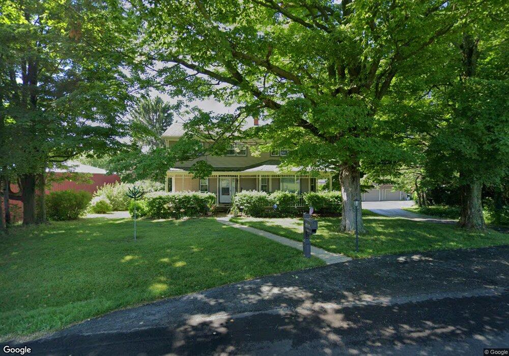
2036 Miners Rd Saint Joseph, MI 49085
Estimated Value: $340,120 - $451,000
5
Beds
2
Baths
2,160
Sq Ft
$181/Sq Ft
Est. Value
About This Home
This home is located at 2036 Miners Rd, Saint Joseph, MI 49085 and is currently estimated at $390,530, approximately $180 per square foot. 2036 Miners Rd is a home located in Berrien County with nearby schools including Upton Middle School, St. Joseph High School, and Michigan Lutheran High School.
Ownership History
Date
Name
Owned For
Owner Type
Purchase Details
Closed on
Jan 20, 2010
Sold by
Parsons David M and Parsons Laura A
Bought by
Parsons David M and Parsons Laura A
Current Estimated Value
Home Financials for this Owner
Home Financials are based on the most recent Mortgage that was taken out on this home.
Original Mortgage
$151,000
Outstanding Balance
$98,737
Interest Rate
4.87%
Mortgage Type
New Conventional
Estimated Equity
$291,793
Purchase Details
Closed on
Apr 15, 1999
Purchase Details
Closed on
Oct 10, 1985
Create a Home Valuation Report for This Property
The Home Valuation Report is an in-depth analysis detailing your home's value as well as a comparison with similar homes in the area
Home Values in the Area
Average Home Value in this Area
Purchase History
| Date | Buyer | Sale Price | Title Company |
|---|---|---|---|
| Parsons David M | -- | Multiple | |
| -- | $100 | -- | |
| -- | $71,500 | -- |
Source: Public Records
Mortgage History
| Date | Status | Borrower | Loan Amount |
|---|---|---|---|
| Open | Parsons David M | $151,000 |
Source: Public Records
Tax History Compared to Growth
Tax History
| Year | Tax Paid | Tax Assessment Tax Assessment Total Assessment is a certain percentage of the fair market value that is determined by local assessors to be the total taxable value of land and additions on the property. | Land | Improvement |
|---|---|---|---|---|
| 2025 | $2,278 | $130,300 | $0 | $0 |
| 2024 | $1,605 | $116,300 | $0 | $0 |
| 2023 | $1,529 | $104,900 | $0 | $0 |
| 2022 | $1,456 | $90,600 | $0 | $0 |
| 2021 | $2,185 | $93,300 | $37,400 | $55,900 |
| 2020 | $2,072 | $95,000 | $0 | $0 |
| 2019 | $2,057 | $79,800 | $28,900 | $50,900 |
| 2018 | $2,057 | $79,800 | $0 | $0 |
| 2017 | $2,030 | $81,200 | $0 | $0 |
| 2016 | $2,001 | $81,000 | $0 | $0 |
| 2015 | $2,039 | $86,500 | $0 | $0 |
| 2014 | $1,230 | $81,000 | $0 | $0 |
Source: Public Records
Map
Nearby Homes
- 4300 Landings Ln
- 4559 Trails End Path
- 1888 Boardwalk
- 1740 Fox Ridge Trail
- 1449 Solak Ct
- 1173 Anna Ln
- 4911 Knollwood Dr Unit 24
- Integrity 1610 Plan at Concord Ridge
- Integrity 1605 Plan at Concord Ridge
- Integrity 2280 Plan at Concord Ridge
- 3100 River Rd
- 1499 Prairie Dr
- 1900 Derfla Dr
- 5141 Dickinson Estates Dr Unit 15
- 4594 Rd
- Lot #6 S Dickinson Estates Dr
- 2060 S Algonquin Dr
- 5239 Mandiberry Ln Unit 6
- 0 Linden Dr
- 1229 E Marquette Woods Rd
- 2053 Miners Rd
- 2053 Miners Rd
- 2000 Miners Rd
- 4110 Moccasin Path
- 2051 Miners Rd
- 2110 Moccasin Path
- 4114 Tomahawk Way
- 2135 Moccasin Path
- 2120 Moccasin Path
- 2123 Arrowhead Trail
- 2125 Arrowhead Trail
- 2140 Moccasin Path
- 4113 Tomahawk Way
- 4125 Tomahawk Way
- 4103 Tomahawk Way
- 4153 Tomahawk Way
- 2110 Arrowhead Trail
- 2153 Arrowhead Trail
- 2160 Moccasin Path
- 1953 Miners Rd