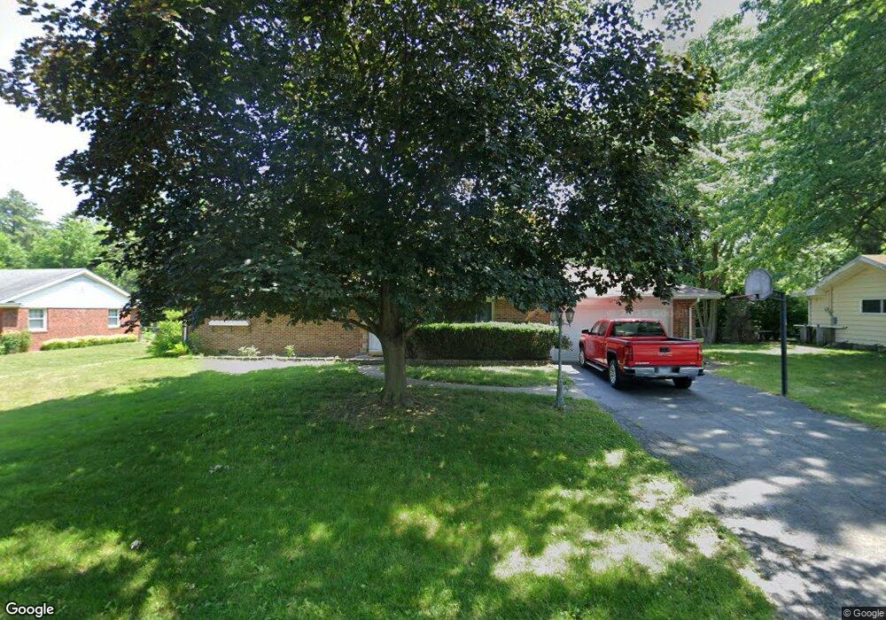
2036 Pautucket Rd Toledo, OH 43615
Reynolds Corners NeighborhoodEstimated Value: $168,000 - $179,000
3
Beds
2
Baths
1,323
Sq Ft
$130/Sq Ft
Est. Value
About This Home
This home is located at 2036 Pautucket Rd, Toledo, OH 43615 and is currently estimated at $171,852, approximately $129 per square foot. 2036 Pautucket Rd is a home located in Lucas County with nearby schools including Hawkins Elementary School, Rogers High School, and St. Benedict Catholic School.
Ownership History
Date
Name
Owned For
Owner Type
Purchase Details
Closed on
Sep 16, 2005
Sold by
Earl Kenneth Norman and Earl Karis Kay
Bought by
Earl Kenneth Norman and Earl Karis Kay
Current Estimated Value
Purchase Details
Closed on
Mar 7, 2002
Sold by
Earl Orianna and Earl Connie
Bought by
Earl Orianna and Earl Kenneth Norman
Create a Home Valuation Report for This Property
The Home Valuation Report is an in-depth analysis detailing your home's value as well as a comparison with similar homes in the area
Home Values in the Area
Average Home Value in this Area
Purchase History
| Date | Buyer | Sale Price | Title Company |
|---|---|---|---|
| Earl Kenneth Norman | -- | -- | |
| Earl Orianna | -- | -- |
Source: Public Records
Tax History Compared to Growth
Tax History
| Year | Tax Paid | Tax Assessment Tax Assessment Total Assessment is a certain percentage of the fair market value that is determined by local assessors to be the total taxable value of land and additions on the property. | Land | Improvement |
|---|---|---|---|---|
| 2024 | $955 | $36,365 | $6,930 | $29,435 |
| 2023 | $1,771 | $32,620 | $6,230 | $26,390 |
| 2022 | $1,753 | $32,620 | $6,230 | $26,390 |
| 2021 | $1,819 | $32,620 | $6,230 | $26,390 |
| 2020 | $1,659 | $26,950 | $5,145 | $21,805 |
| 2019 | $1,601 | $26,950 | $5,145 | $21,805 |
| 2018 | $1,529 | $26,950 | $5,145 | $21,805 |
| 2017 | $1,371 | $23,590 | $7,035 | $16,555 |
| 2016 | $1,407 | $67,400 | $20,100 | $47,300 |
| 2015 | $1,448 | $67,400 | $20,100 | $47,300 |
| 2014 | $935 | $23,600 | $7,040 | $16,560 |
| 2013 | $935 | $23,600 | $7,040 | $16,560 |
Source: Public Records
Map
Nearby Homes
- 2026 Pautucket Rd
- 4709 W Bancroft St
- 4515 W Bancroft St
- 4519 W Bancroft St
- 2009 Garden Ln
- 4236 S Terrace View St
- 2222 Talmadge Rd
- 4057 Hillandale Rd
- 2130 Richards Rd
- 5051 Wissman Rd
- 801 Hilltop Ln
- 5041 Ancil Rd
- 3925 Hillandale Rd
- 5331 Fleet Rd
- 5057 Brandon Rd
- 2720 Derby Rd
- 710 Hilltop Ln
- 5029 Kellogg Rd
- 4028 Brookside Rd
- 3765 Brookside Rd
- 2046 Pautucket Rd
- 2035 Sandringham Dr
- 2025 Sandringham Dr
- 2039 Pautucket Rd
- 2033 Pautucket Rd
- 2029 Pautucket Rd
- 2045 Pautucket Rd
- 2016 Pautucket Rd
- 4657 Paisley Rd
- 4625 Paisley Rd
- 2021 Pautucket Rd
- 2015 Sandringham Dr
- 2051 Pautucket Rd
- 2015 Pautucket Rd
- 2006 Pautucket Rd
- 2040 Sandringham Dr
- 2026 Sandringham Dr
- 2040 Penn Rd
- 2009 Pautucket Rd
- 2034 Penn Rd