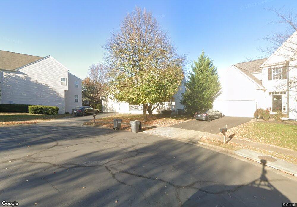
20370 Snowpoint Place Ashburn, VA 20147
Estimated Value: $914,321 - $968,000
4
Beds
3
Baths
2,416
Sq Ft
$390/Sq Ft
Est. Value
About This Home
This home is located at 20370 Snowpoint Place, Ashburn, VA 20147 and is currently estimated at $943,330, approximately $390 per square foot. 20370 Snowpoint Place is a home located in Loudoun County with nearby schools including Cedar Lane Elementary School, Trailside Middle School, and Stone Bridge High.
Ownership History
Date
Name
Owned For
Owner Type
Purchase Details
Closed on
May 19, 2000
Sold by
Richmond American
Bought by
Brunnelli Thomas L
Current Estimated Value
Home Financials for this Owner
Home Financials are based on the most recent Mortgage that was taken out on this home.
Original Mortgage
$226,700
Outstanding Balance
$78,600
Interest Rate
8.19%
Estimated Equity
$864,730
Create a Home Valuation Report for This Property
The Home Valuation Report is an in-depth analysis detailing your home's value as well as a comparison with similar homes in the area
Home Values in the Area
Average Home Value in this Area
Purchase History
| Date | Buyer | Sale Price | Title Company |
|---|---|---|---|
| Brunnelli Thomas L | $283,390 | -- |
Source: Public Records
Mortgage History
| Date | Status | Borrower | Loan Amount |
|---|---|---|---|
| Open | Brunnelli Thomas L | $226,700 |
Source: Public Records
Tax History Compared to Growth
Tax History
| Year | Tax Paid | Tax Assessment Tax Assessment Total Assessment is a certain percentage of the fair market value that is determined by local assessors to be the total taxable value of land and additions on the property. | Land | Improvement |
|---|---|---|---|---|
| 2025 | $6,815 | $846,610 | $299,300 | $547,310 |
| 2024 | $6,862 | $793,290 | $294,300 | $498,990 |
| 2023 | $6,657 | $760,780 | $294,300 | $466,480 |
| 2022 | $6,368 | $715,460 | $269,300 | $446,160 |
| 2021 | $6,105 | $622,940 | $219,300 | $403,640 |
| 2020 | $6,026 | $582,210 | $197,900 | $384,310 |
| 2019 | $5,968 | $571,100 | $197,900 | $373,200 |
| 2018 | $5,645 | $520,260 | $177,900 | $342,360 |
| 2017 | $5,718 | $508,310 | $177,900 | $330,410 |
| 2016 | $5,866 | $512,290 | $0 | $0 |
| 2015 | $5,623 | $317,530 | $0 | $317,530 |
| 2014 | $5,580 | $305,200 | $0 | $305,200 |
Source: Public Records
Map
Nearby Homes
- 20314 Snowpoint Place
- 43820 Laurel Ridge Dr
- 20278 Glenrobin Terrace
- 20331 Susan Leslie Dr
- 20576 Ashburn Rd
- 44004 Florence Terrace
- 43878 Camellia St
- 20624 Camptown Ct
- 44049 Florence Terrace
- 20231 Hidden Creek Ct
- 44084 Natalie Terrace Unit 301
- 44049 Ferncliff Terrace
- 44005 Gala Cir
- 20153 Valhalla Square
- 43582 Old Kinderhook Dr
- 43589 Edison Club Ct
- 44094 Gala Cir
- 20593 Cornstalk Terrace Unit 101
- 20129 Valhalla Square
- 20385 Medalist Dr
- 20362 Snowpoint Place
- 20378 Snowpoint Place
- 43837 Robindale Ct
- 43841 Robindale Ct
- 20358 Snowpoint Place
- 43833 Robindale Ct
- 20383 Snowpoint Place
- 43845 Robindale Ct
- 20379 Snowpoint Place
- 20350 Snowpoint Place
- 20375 Snowpoint Place
- 20367 Snowpoint Place
- 20363 Snowpoint Place
- 20359 Snowpoint Place
- 43849 Robindale Ct
- 0 Ghazwa Square Unit 1008121666
- 0 Ghazwa Square Unit 1008118428
- 0 Ghazwa Square Unit LO10207954
- 0 Ghazwa Square Unit LO10207932
- 0 Ghazwa Unit LO9907683