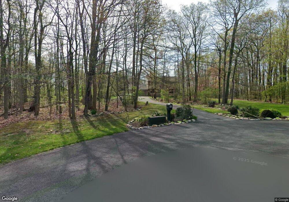
2038 Lucinda Ln Narvon, PA 17555
Estimated Value: $513,000 - $549,000
3
Beds
3
Baths
2,220
Sq Ft
$241/Sq Ft
Est. Value
About This Home
This home is located at 2038 Lucinda Ln, Narvon, PA 17555 and is currently estimated at $534,687, approximately $240 per square foot. 2038 Lucinda Ln is a home located in Lancaster County with nearby schools including Pequea Valley Intermediate School, Pequea Valley High School, and Beartown School.
Ownership History
Date
Name
Owned For
Owner Type
Purchase Details
Closed on
Jul 28, 2000
Sold by
Zimmerman Luke R
Bought by
Lessley Craig and Lessley Tracy
Current Estimated Value
Home Financials for this Owner
Home Financials are based on the most recent Mortgage that was taken out on this home.
Original Mortgage
$82,000
Outstanding Balance
$29,480
Interest Rate
8.1%
Estimated Equity
$505,207
Create a Home Valuation Report for This Property
The Home Valuation Report is an in-depth analysis detailing your home's value as well as a comparison with similar homes in the area
Home Values in the Area
Average Home Value in this Area
Purchase History
| Date | Buyer | Sale Price | Title Company |
|---|---|---|---|
| Lessley Craig | $186,485 | First American Title Ins Co |
Source: Public Records
Mortgage History
| Date | Status | Borrower | Loan Amount |
|---|---|---|---|
| Open | Lessley Craig | $82,000 |
Source: Public Records
Tax History Compared to Growth
Tax History
| Year | Tax Paid | Tax Assessment Tax Assessment Total Assessment is a certain percentage of the fair market value that is determined by local assessors to be the total taxable value of land and additions on the property. | Land | Improvement |
|---|---|---|---|---|
| 2025 | $4,761 | $293,500 | $83,100 | $210,400 |
| 2024 | $4,761 | $293,500 | $83,100 | $210,400 |
| 2023 | $4,685 | $293,500 | $83,100 | $210,400 |
| 2022 | $4,629 | $293,500 | $83,100 | $210,400 |
| 2021 | $4,547 | $293,500 | $83,100 | $210,400 |
| 2020 | $4,547 | $293,500 | $83,100 | $210,400 |
| 2019 | $4,493 | $293,500 | $83,100 | $210,400 |
| 2018 | $7,142 | $293,500 | $83,100 | $210,400 |
| 2017 | $4,435 | $236,000 | $63,600 | $172,400 |
| 2016 | $4,434 | $236,000 | $63,600 | $172,400 |
| 2015 | $885 | $236,000 | $63,600 | $172,400 |
| 2014 | $3,337 | $236,000 | $63,600 | $172,400 |
Source: Public Records
Map
Nearby Homes
- 1022 Elwood St
- 5907 Wertztown Rd
- 5884 Mast Rd
- 0 Westbrook Dr
- 0 Westbrook Dr
- 0 Westbrook Dr
- 0 Westbrook Dr
- 607 Buchland Rd
- 2085 Main St
- 5892 Meadville Rd
- 5788 Glen Oaks Dr
- 5867 Kingsfield Dr
- 671 Gault Rd
- 0 Cambridge Rd
- 283 Cambridge Rd
- 50 Nevin Dr
- 70 Waynebrook Dr
- 490 Red Hill Rd
- 5720 Meadeville Rd
- 407 Cahill Cir Unit 4
- 2034 Lucinda Ln
- 2033 Lucinda Ln
- 2030 Lucinda Ln
- 2029 Lucinda Ln
- 0 Hill Top Dr Unit 1002016004
- 0 Hill Top Dr Unit 1001662411
- 0 Hill Top Dr Unit 1002666407
- 0 Hill Top Dr Unit 7062858
- 0 Hill Top Dr Unit 7062848
- 0 Hill Top Dr Unit 270873
- 0 Hill Top Dr Unit 1004552033
- 2025 Lucinda Ln
- 2024 Lucinda Ln
- 35 Mountain Top Ln
- 2021 Lucinda Ln
- 2020 Lucinda Ln
- 1089 Elwood St
- 1077 Elwood St
- 37 Mountain Top Ln
- 16 Mountain Top Ln